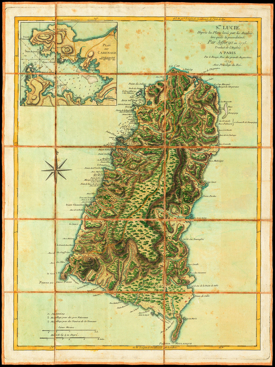
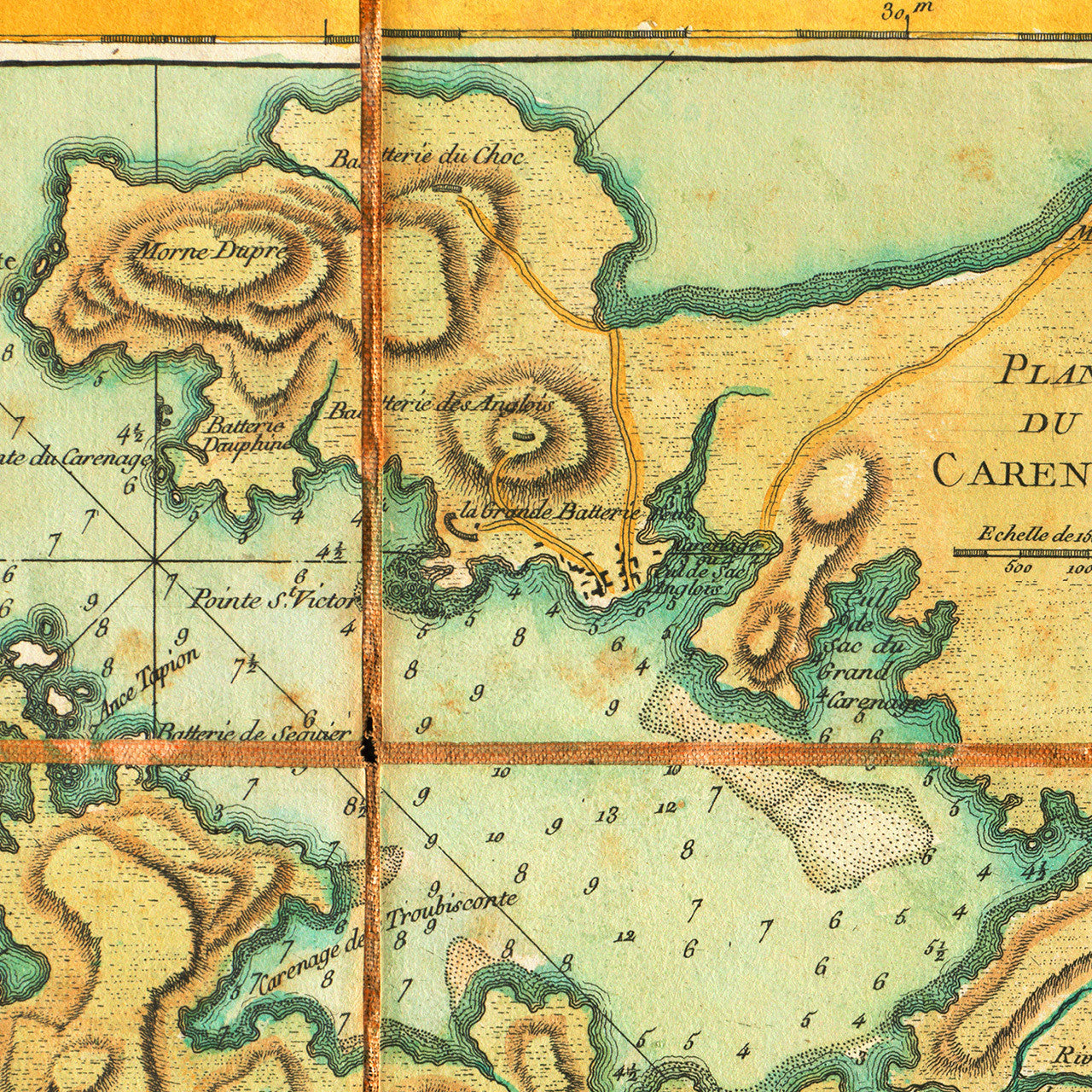
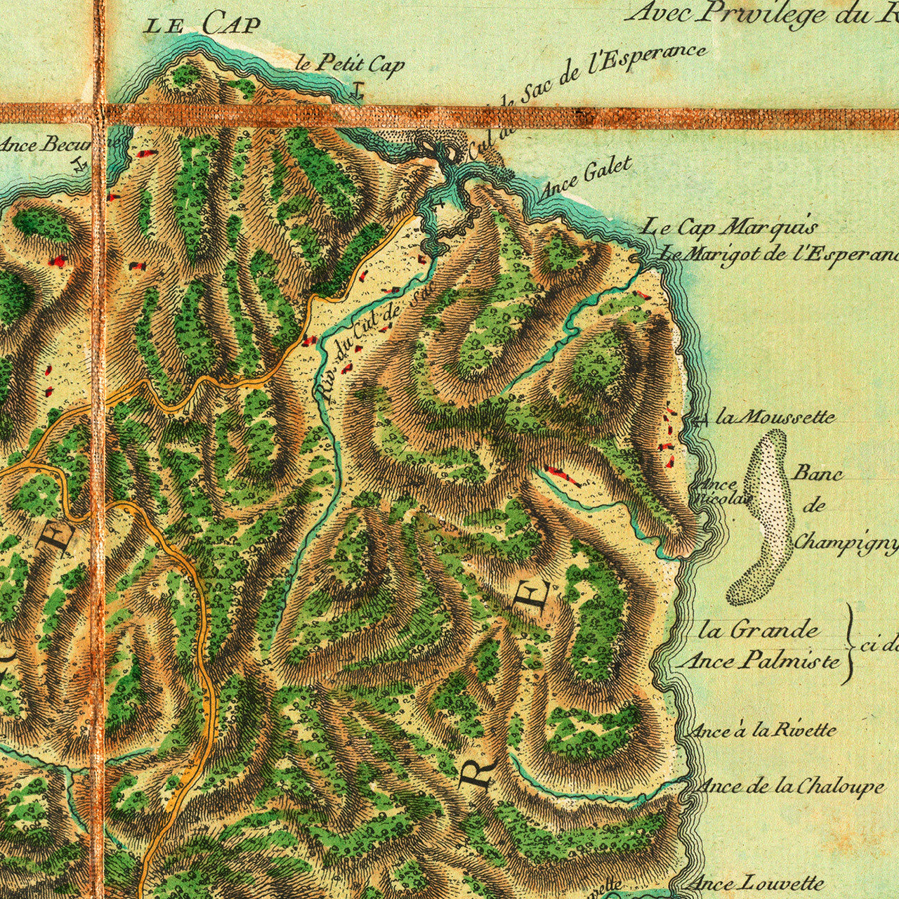
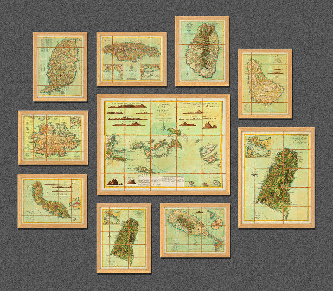

An eighteenth-century map of Saint Lucia, translated and published in Paris in 1779 by Georges-Louis Le Rouge, after Thomas Jefferys’ 1775 map of the island. The map contains an inset plan of Castries, Plan du Carenage, with navigational markings of the bay, under its original French name — Carénage. In December of 1778, just as France had entered the American War of Independence, the Royal Navy defeated the French at the Battle of Saint Licia (Battle of the Cul de Sac). The Battle of Morne de la Vierge followed on land, which secured the British victory and the capture of the island.
English map title: St. Lucia; Done from Surveys and Observetions made by the English whilst in their Possession, by Thomas Jefferys Geographer to the King.
French map title: Ste. Lucie D’aprés les Plans levés par les Anglois lors quils la possedoient, Par Jefferys en 1775. Traduit de l’Anglois A Paris Par le Rouge, Rue des grands Augustins, 1779 Avec Privilege du Roi. (Shown frames are not included.)
• 1779 map of St. Lucia (Sainte-Lucie), Le Rouge (after Jefferys), Revolutionary War Era
• Fine Art Premium Giclée (Gouttelette) Print (100% cotton 340 gsm fine art paper)
• Made in USA