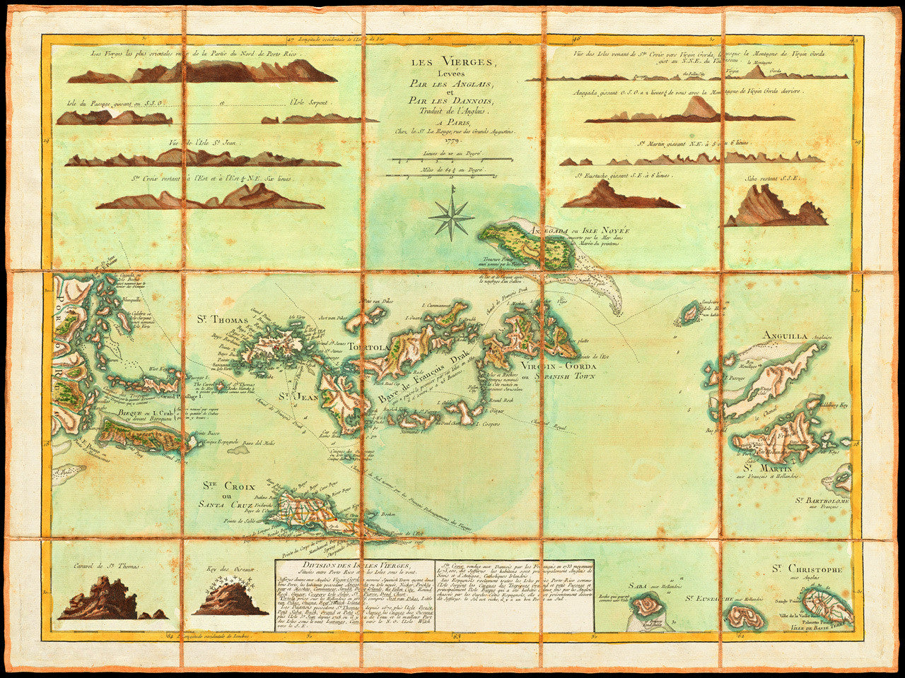
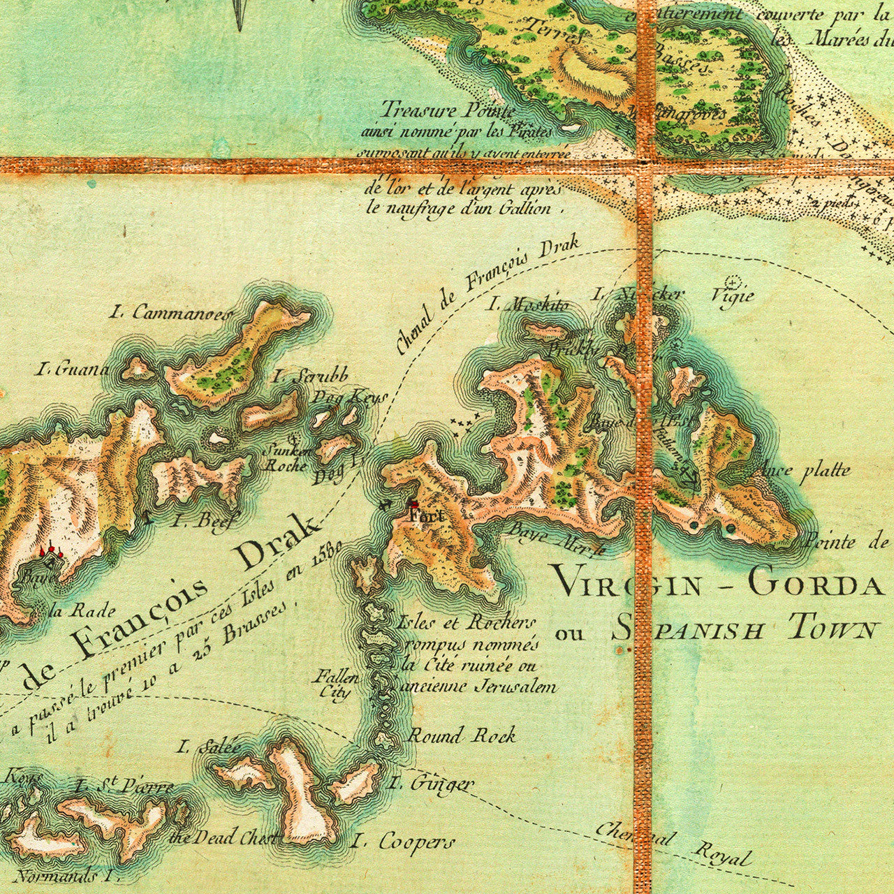
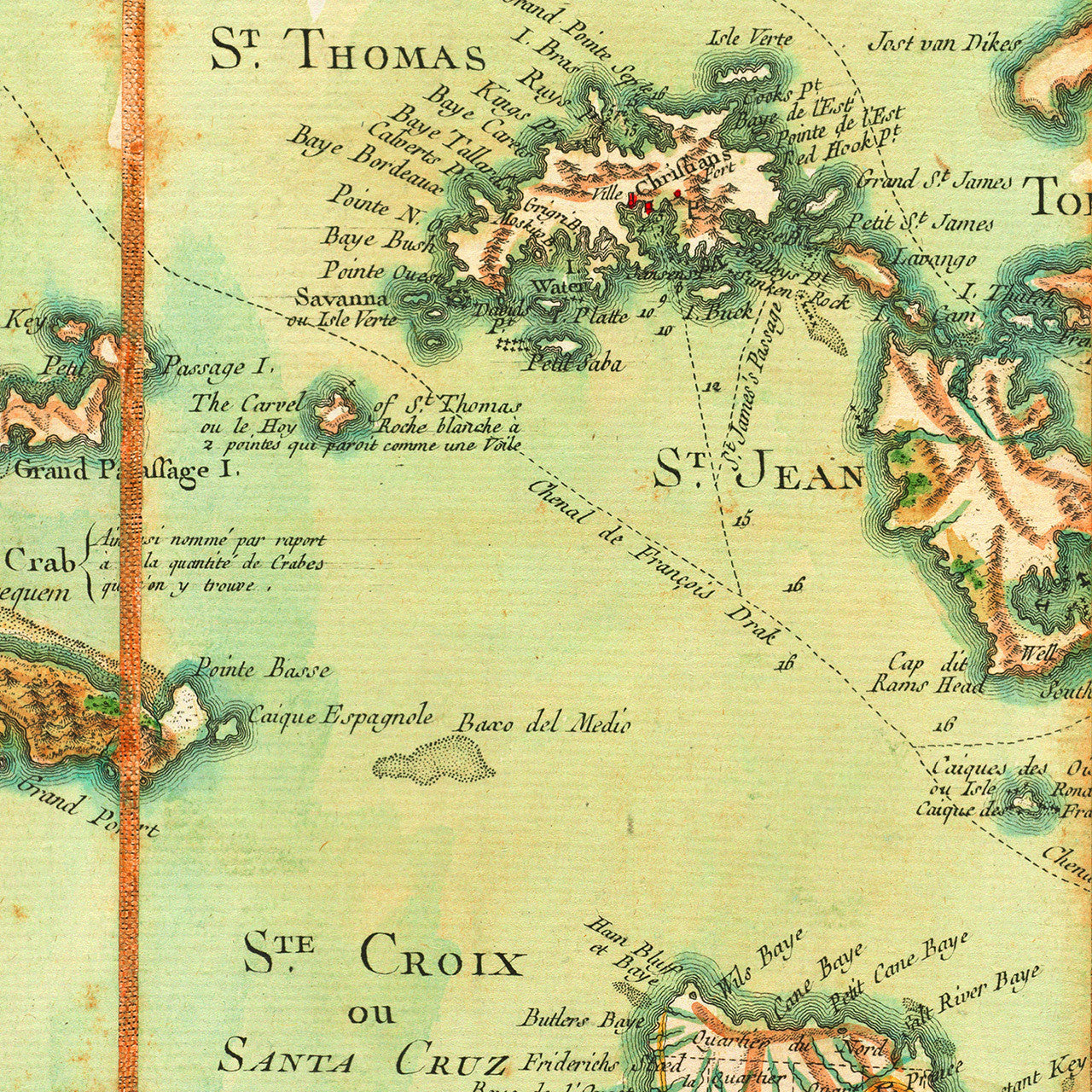
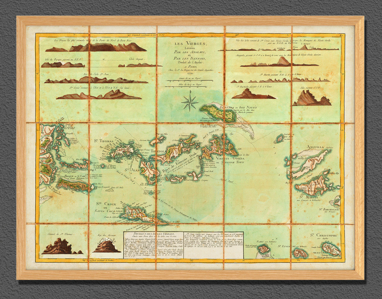
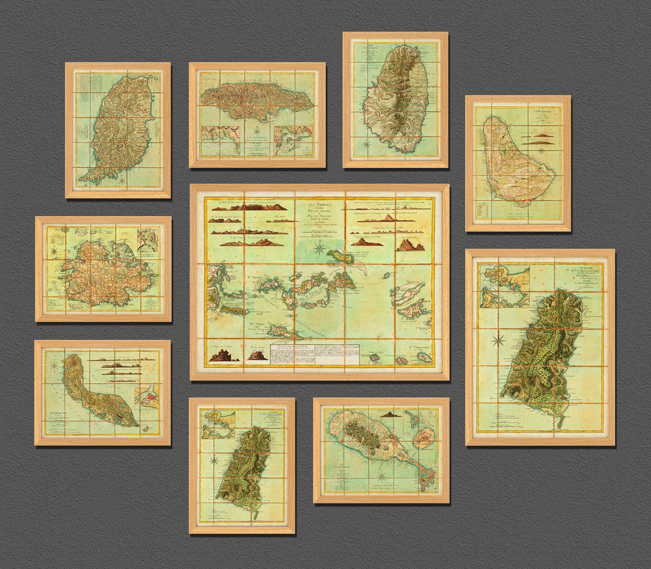

A 1779 French edition of Thomas Jefferys’ 1775 chart of the Virgin Islands, by Georges-Louis Le Rouge. The map includes the British Virgin Islands, the Danish Virgin Islands (Danish Antilles, or Dansk Vestindien, nowadays the U.S. Virgin Islands), and the Spanish Virgin Islands of Vieques and Culebra, (nowadays part of Puerto Rico). The map also shows the easternmost part of Puerto Rico, and covers Anguilla, St. Martin/St. Maarten, Saba, St. Eustatius, and parts of St. Barts and St. Kitts (St. Christopher). The upper part of the layout includes island profiles. The bottom center is occupied by an inset with notes entitled, ‘Divisions des Isles Vierges’. Full map title reads: Les Vierges, Levées Par les Anglais, et Par les Dannois, Traduit de l'Anglais. A Paris, Chez le Sr. Le Rouge, rue des Grands Augustins, 1779. (Shown frames are not included.)
• 1779 Map of the Virgin Islands (Les Vierges), Le Rouge (after Jefferys)
• Fine Art Premium Giclée (Gouttelette) Print (100% cotton 340 gsm fine art paper)
• Made in USA