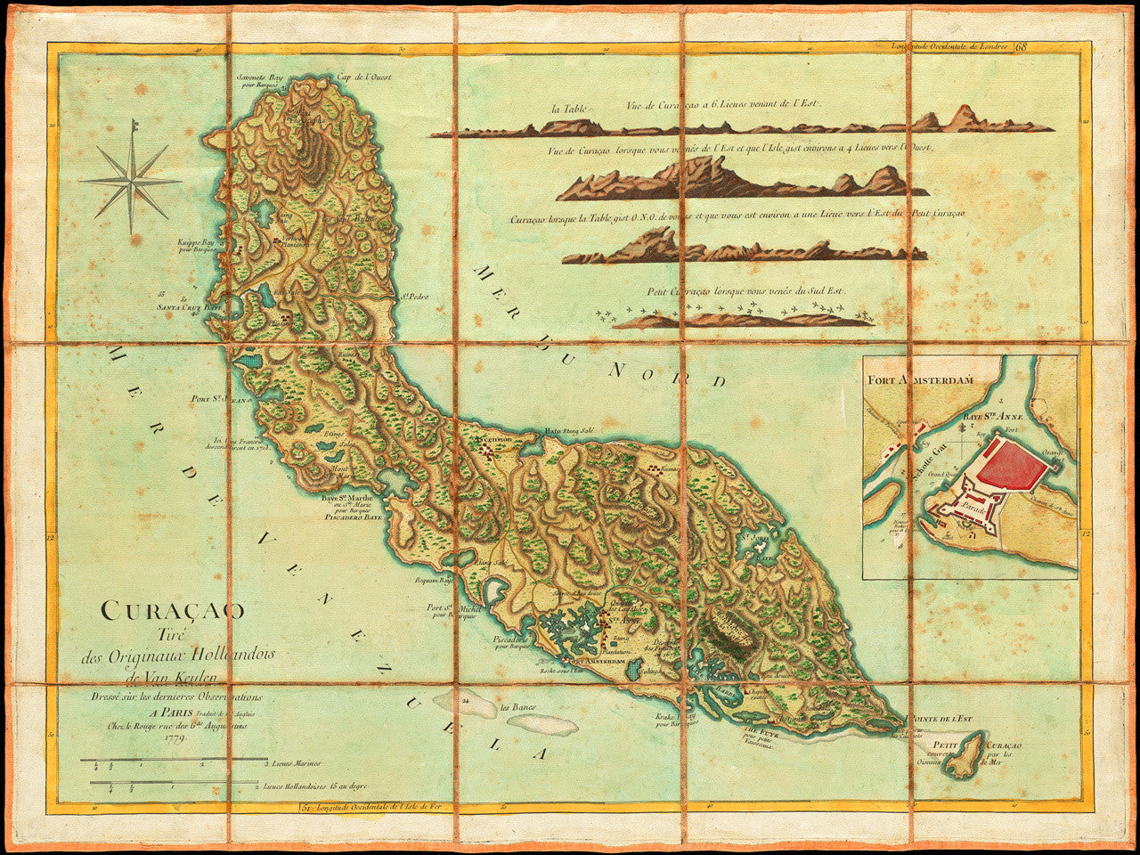
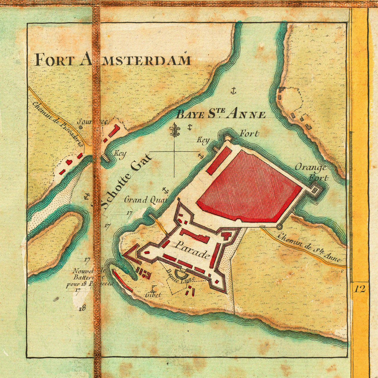
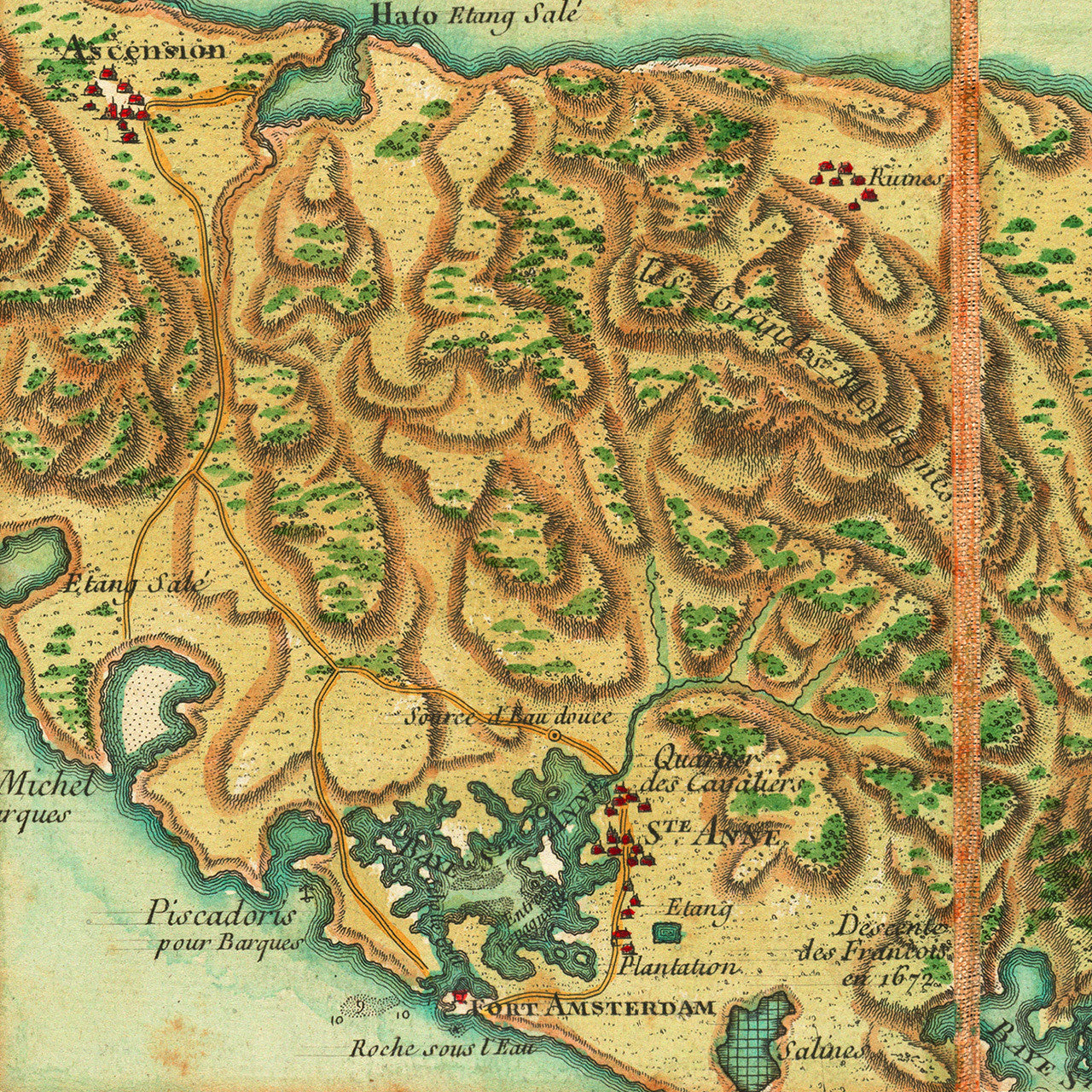
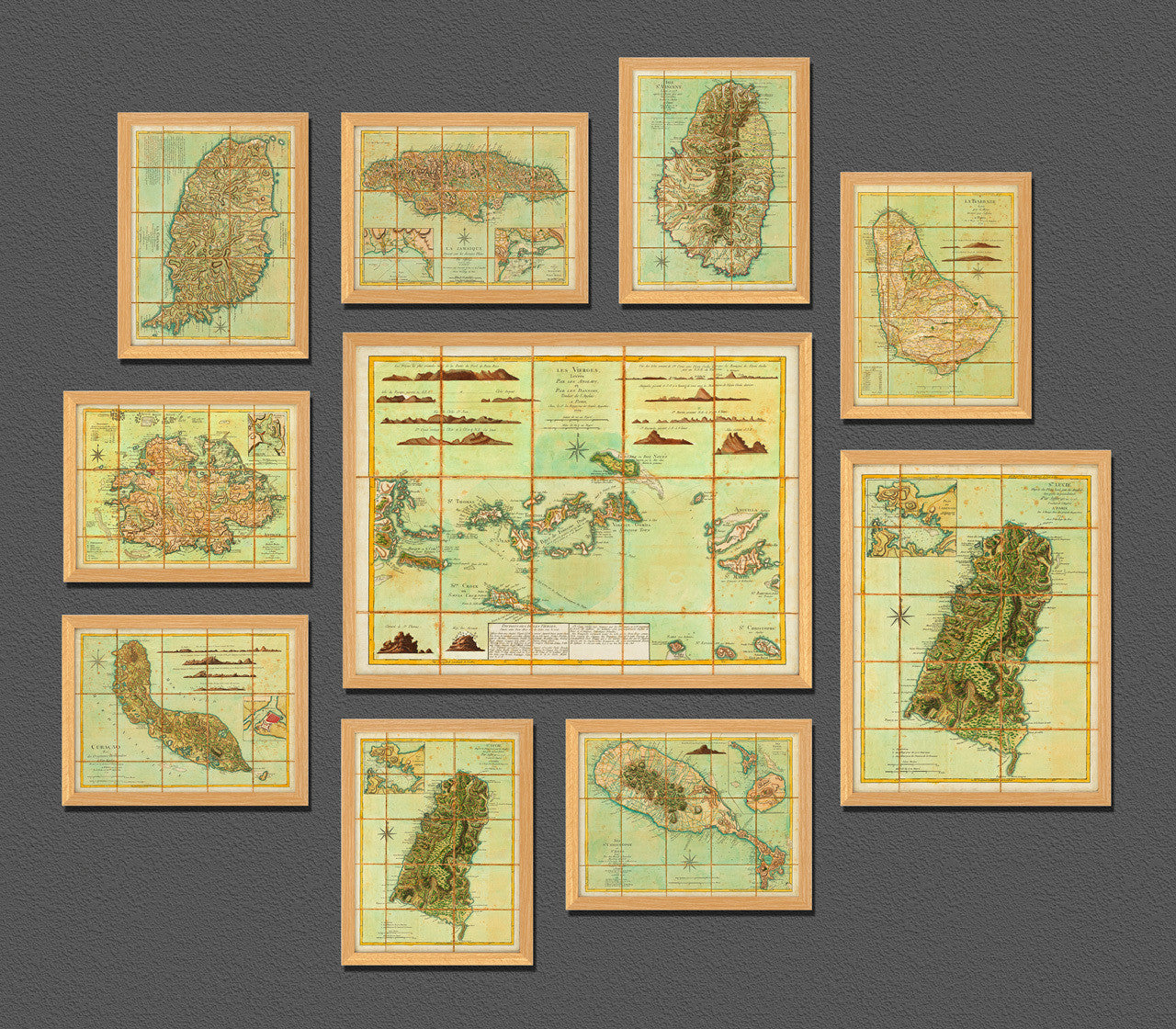

An eighteenth-century map of the island of Curaçao by Georges-Louis Le Rouge. La Rouge translated in French and adapted Thomas Jefferys’ 1775 map of the island. Jeffery’s map was based on the Dutch surveys and map by Gerard van Keulen. Van Keulen’s chart, Nieuwe Afteekening van het Eyland Curacao…, first published ca. 1700, was itself based on Arent Roggeveen’s 1675 “Insula Curaçao”. Le Rouge’s version of the map contains an inset Plan of Fort Amsterdam with Santa Anna Bay, and four land-approach profile views of the island. It also shows in great detail relief, roads, settlements, fortifications, plantations, salt pans, and some navigational markings.
Map title in French: Curaçao Tireé des Originaux Hollandois de Van Keulen, Dresseé sur les dernieres Observations, A Paris Traduit de l’Anglais Chez le Rouge rue des Gds. Augustins 1779.
Jefferys’ map title in English: Curaçao, from the Dutch Originals of Gerard Van Keulen, Regulated by Astronomical Observations.
Van Keulen’s original title in Dutch: Nieuwe Afteekening Van het Eyland Curacao, Vertoonende alle desselfs geleegentheeden, Mitsgaders de haven van St. Anna en ’t Fort Amsterdam Int grood, als ook hoe Sig dit Eyland uyt der Zee Vertoont; Tot Amsterdam by Gerard van Keulen, Aen de Nieuwen Brugh. Met Previlegie. (Shown frames are not included.)
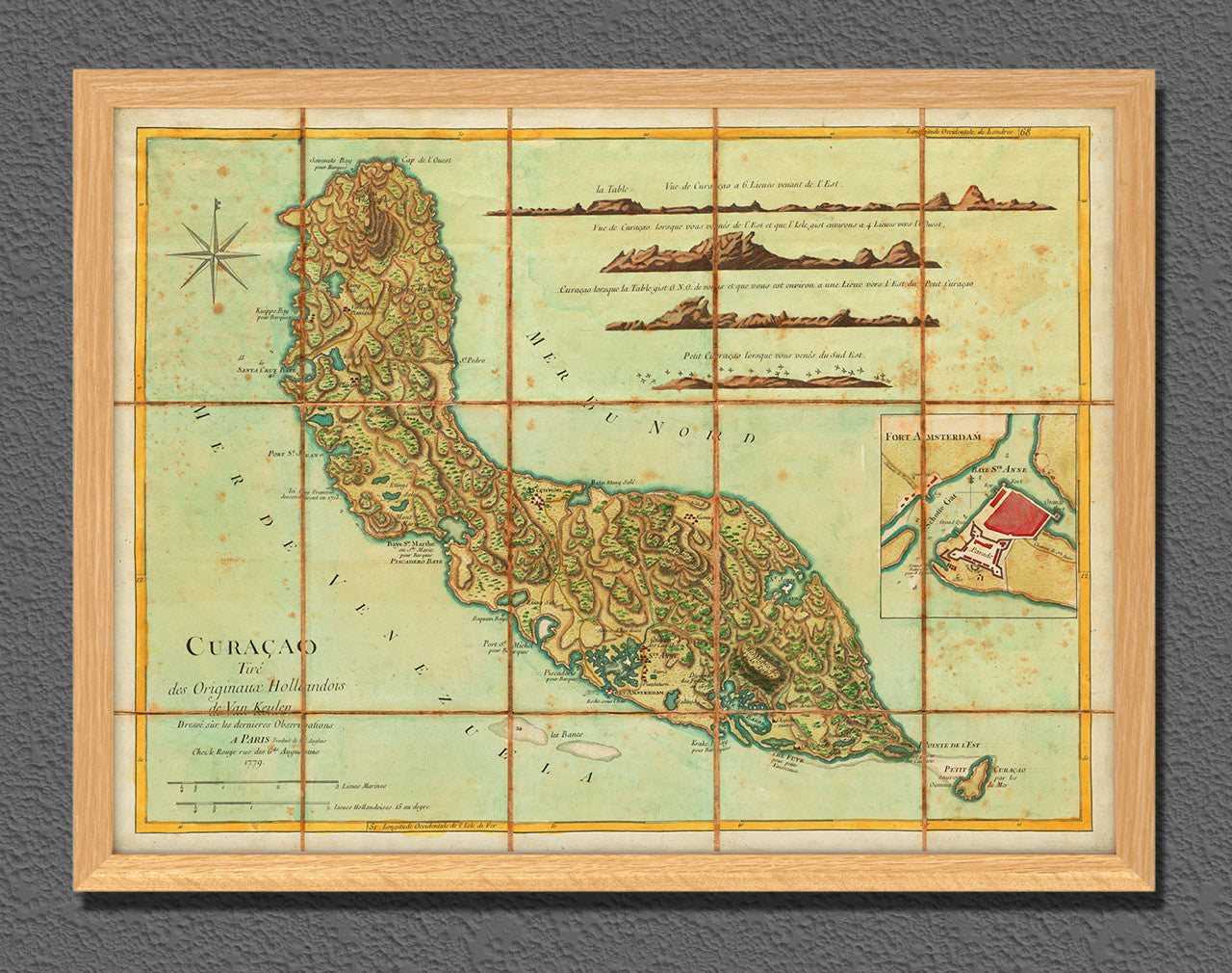
• 1779 map of Curaçao (Curacao), Le Rouge (after Jefferys, van Keulen), Revolutionary War Era
• Fine Art Premium Giclée (Gouttelette) Print (100% cotton 340 gsm fine art paper)
• Made in USA