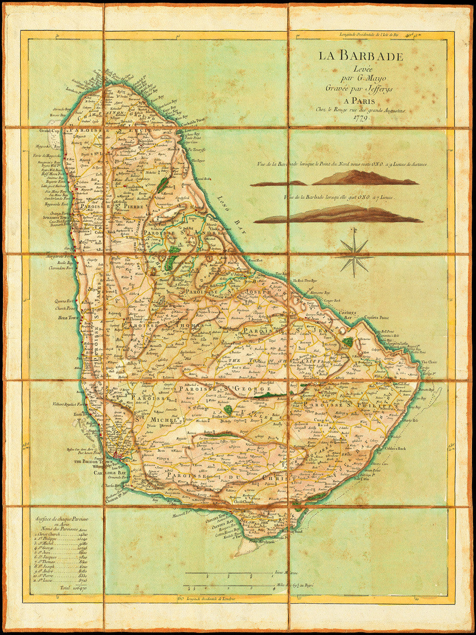
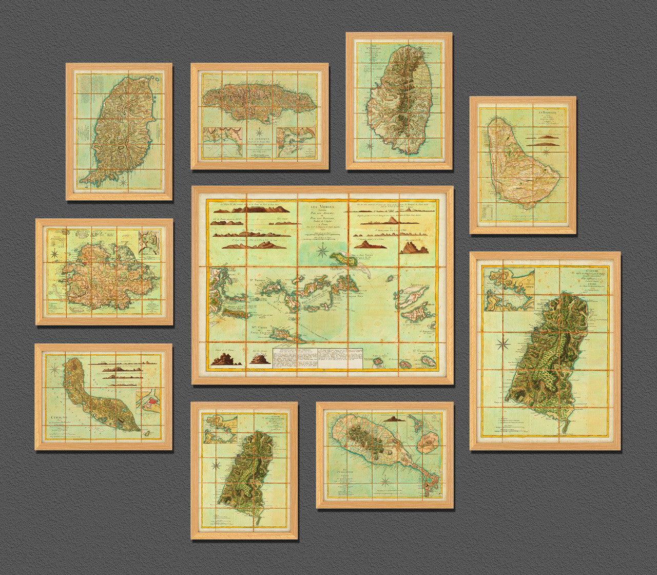

An eighteenth-century map of Barbados, surveyed by William Mayo and engraved by Thomas Jefferys. The map was first published in English in 1775 and later translated and reissued in French by Georges-Louis Le Rouge in 1779. Le Rouge’s map of Barbados was one of many maps and charts prepared during the period of the American War of Independence to be used by the French Navy in the region.
Original English title: Barbadoes, surveyed by William Mayo, engraved and improved by Thomas Jefferys, Geographer to the King.
French title: La Barbade Levée par G. Mayo Gravée par Jafferys A Paris Chez le Rouge rue des grands Augustins, 1779. (Shown frames are not included.)
• 1779 map of Barbados (La Barbade), William Mayo, Le Rouge (after Jefferys), Revolutionary War Era
• Fine Art Premium Giclée (Gouttelette) Print (100% cotton 340 gsm fine art paper)
• Made in USA