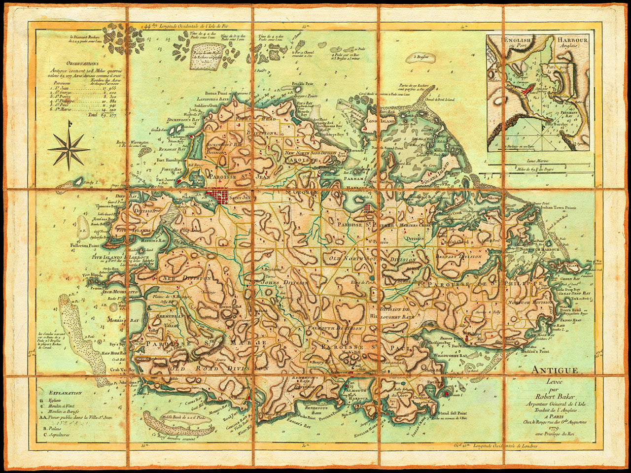
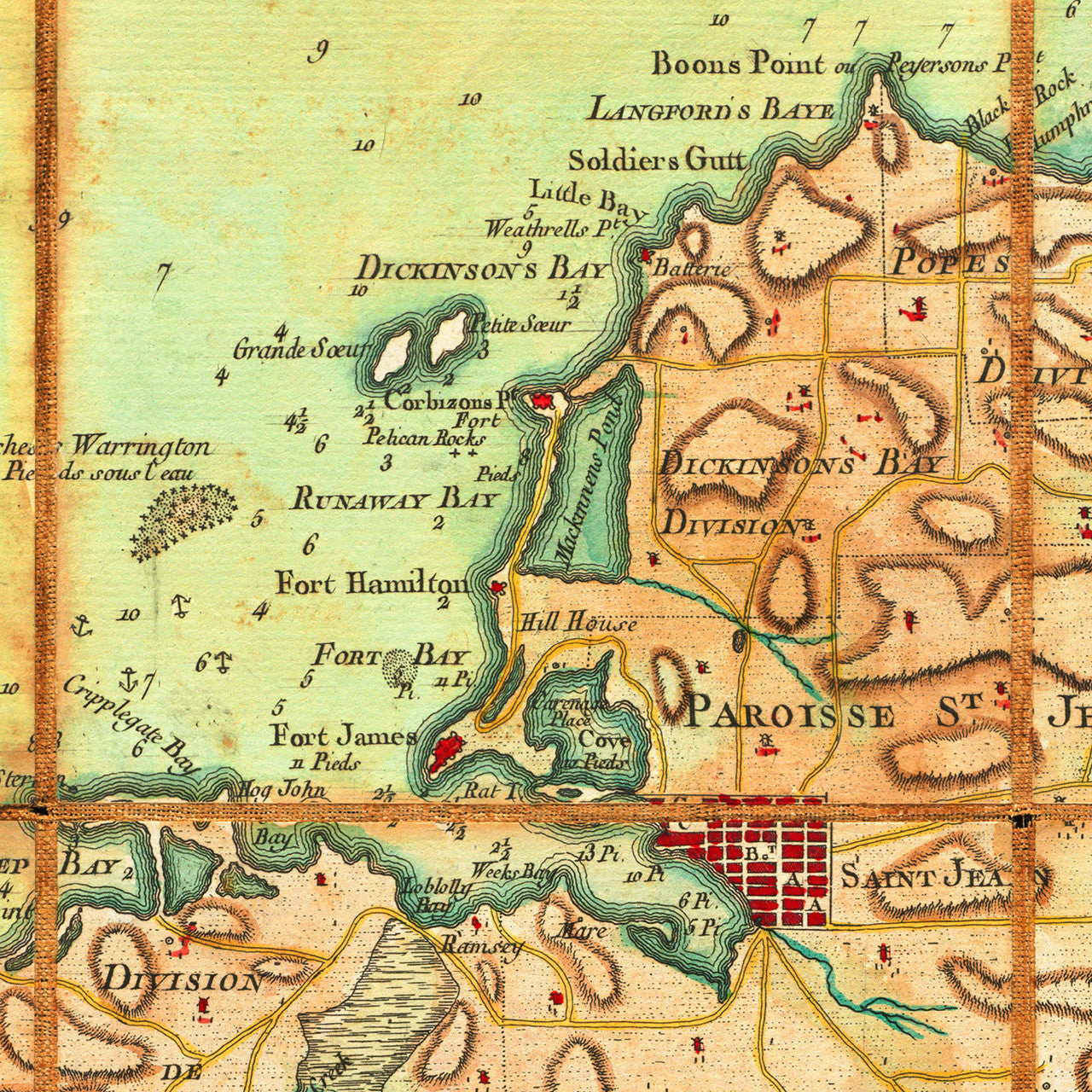
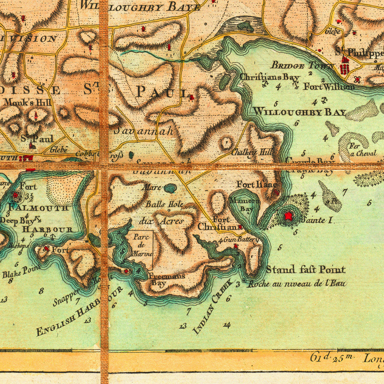

An eighteenth-century map of the island of Antigua, showing its six parishes and featuring a plan of the town of Saint John (today’s capital St. John’s), and an inset chart of English Harbour. The map contains banks, soundings and navigational markings in the waters surrounding the island. It was surveyed and drawn in 1746 by Robert Baker, surveyor general of Antigua, and engraved before 1771 by Thomas Jefferys for his compilation The West-India Atlas. In 1775 the atlas was published posthumously by Sayer & Bennett under Jefferys’ name. The present copy of the map is from the 1778-79 French edition of the Caribbean atlas, translated and published by Georges-Louis Le Rouge.
Original English map title: Antigua, Surveyed by Robert Baker, Surveyor General of that Ifland [island]: Engraved and Improved by Thomas Jefferys, Geographer to the King.
French title: Antigue, Levée par Robert Baker, Arpenteur General de l'Isle. Traduit de l'Anglais. A Paris Chez le Rouge rue des Gds. Augustins 1779, avec Privilege du Roi. (Shown frames are not included.)
• French edition of Robert Baker’s (Jefferys’ atlas) chart of Antigua, 1779, Georges-Louis Le Rouge
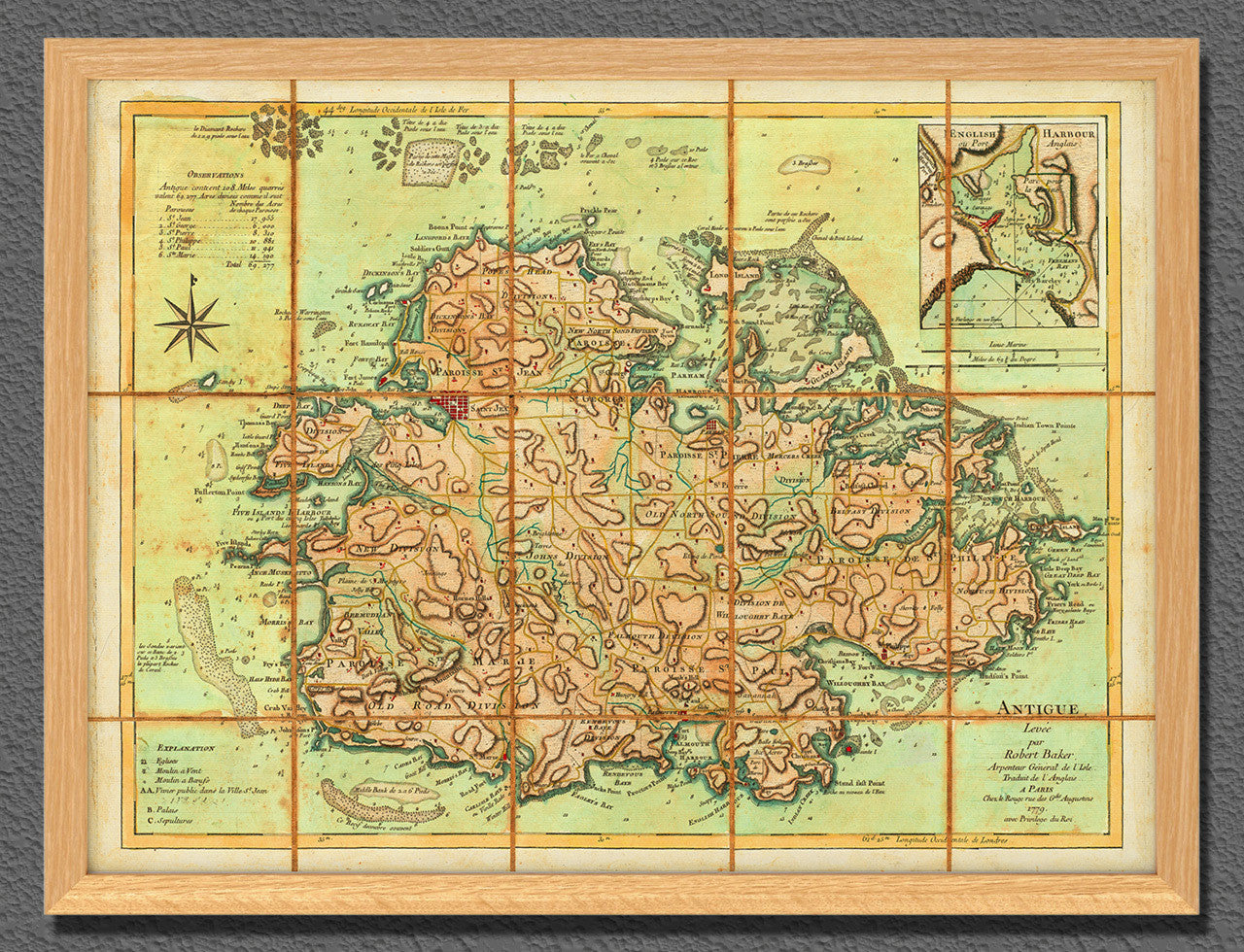
• Fine Art Premium Giclée (Gouttelette) Print (100% cotton 340 gsm fine art paper)
• Made in USA