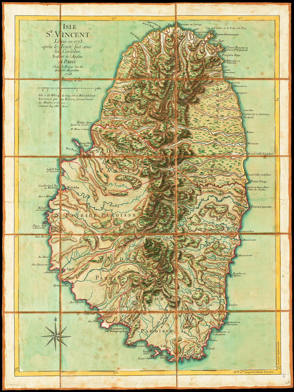
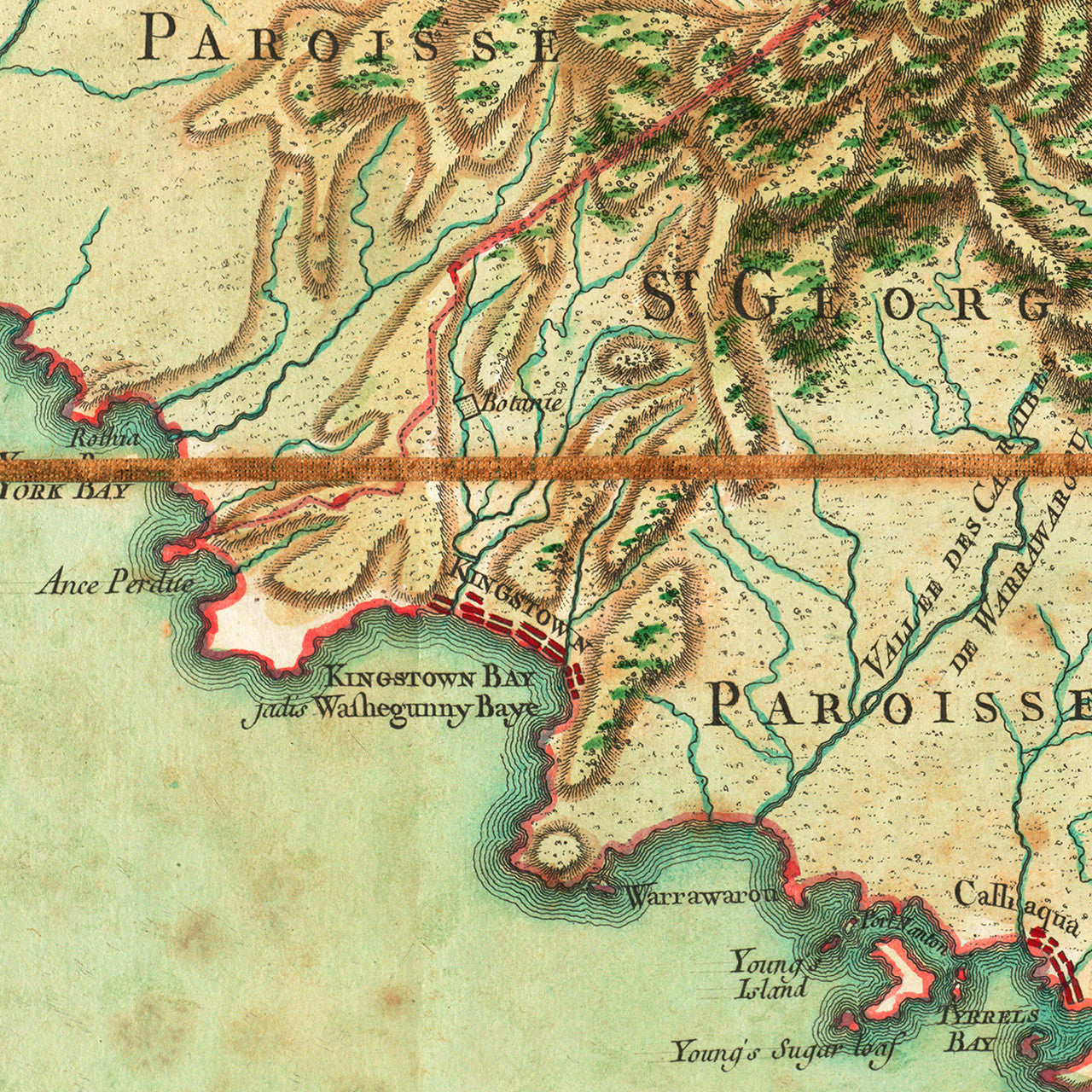
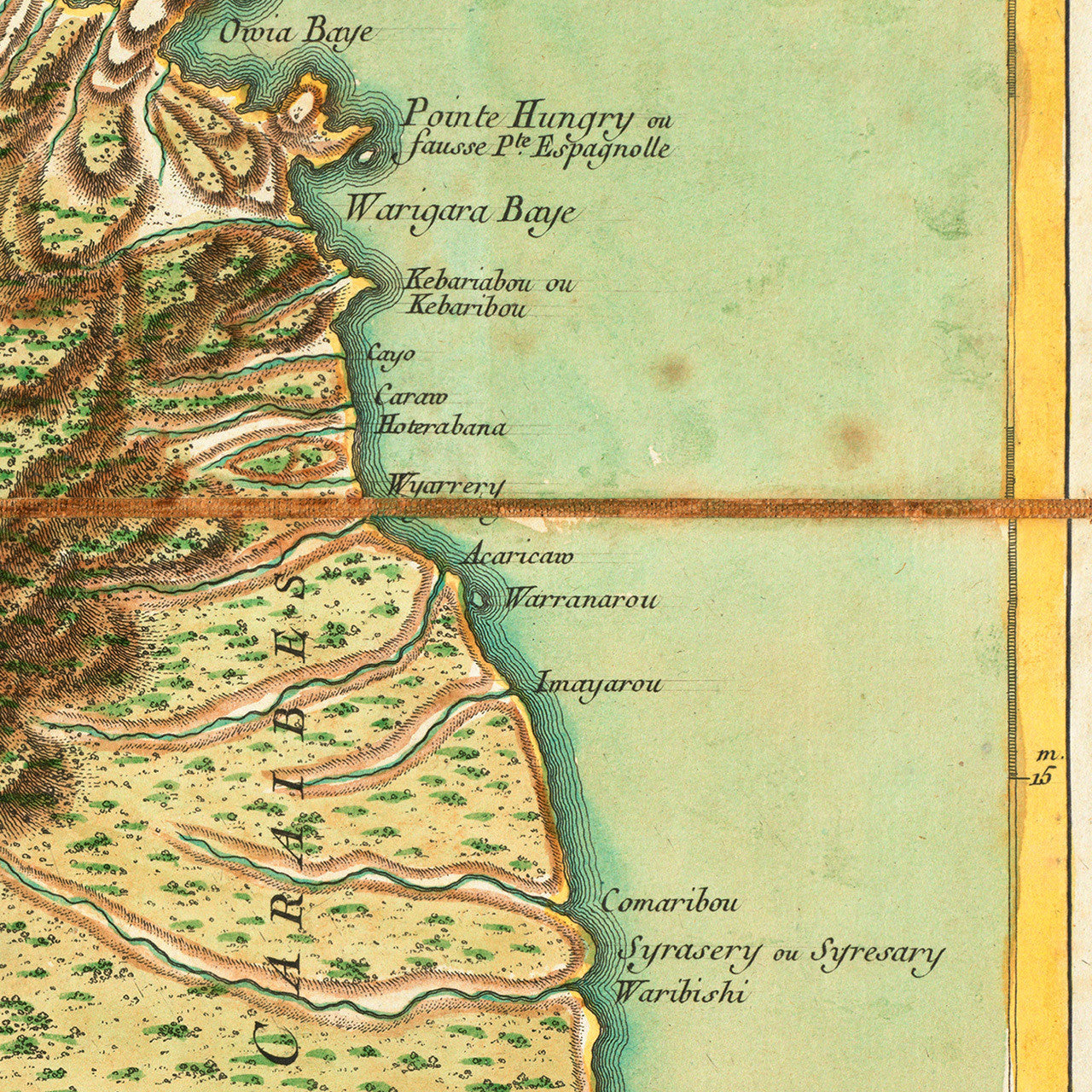

An eighteenth-century map of the island of Saint Vincent, surveyed in 1773. Saint Vincent had been a French colony until 1763, when it was ceded to Britain with the Treaty of Paris. Britain immediately launched a military surveying campaign on the island, although the survey was not completed until 1773. The British viewed the island as a potential center of sugar production. They demanded that the indigenous Carib and Black Carib population sell their land to representatives of the British colonial administration. The natives’ refusal resulted in a full-scale military assault on the Caribs, with the objective of capturing and deporting them from the island. (That was eventually achieved in 1796, when 5,000 Caribs were deported from Saint Vincent to the tiny island of Baliceaux near Bequia, and again in 1797, when another 5,000 were exiled to Roatán.) Meanwhile, in 1773 the two sides signed a peace treaty which ended the conflict, the First Carib War (1769–1773), and outlined the British and Carib territories on the island. The final survey was used to make the current map, which was originally produced in 1775 and translated in French by Georges-Louis La Rouge in 1778. It was one of many maps and charts or the region, to be used by the French Navy during the American War of Independence. A year later, in 1779 France, assisted by the local Black Caribs, re-captured Saint Vincent, which was eventually returned to Britain four years later with the Treaty of Versailles (1783).
Original English map title: St. Vincent, from an Actual Survey made in the year 1773, after the Treaty with the Caribs… This Island of St. Vincent is 18 Miles 1/8 Long, and 11 Miles 1/5 Broad, has 22 Rivers, capable of turning Sugar Mills, and contains 84,286 Acres. French map title: Isle St. Vincent Levée en 1773, aprés le Traité fait avec les Caraibes. Traduit de L’Anglais. A Paris Chez le Rouge rue des Grands Augustins 1778. Avec Privilege du Roi. (Shown frames are not included.)
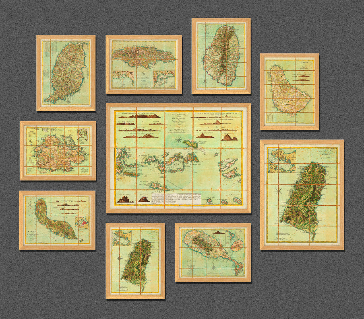
• 1778 map of St. Vincent, surveyed in 1773, G. L. Le Rouge (after Jefferys), Revolutionary War Era
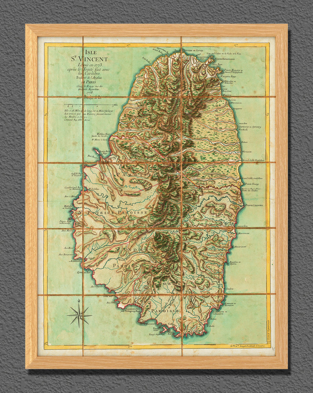
• Fine Art Premium Giclée (Gouttelette) Print (100% cotton 340 gsm fine art paper)
• Made in USA