Delaware River, 1777, Philadelphia, Chester, New Jersey, Revolutionary War Map
$95
Brand: Battlemaps.us

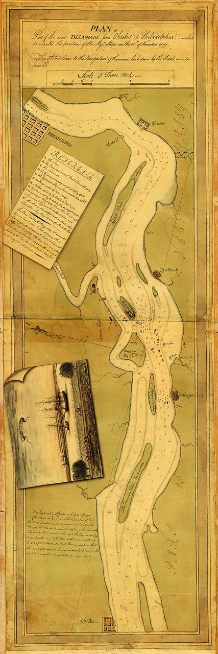
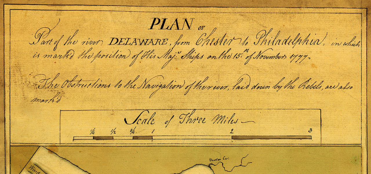
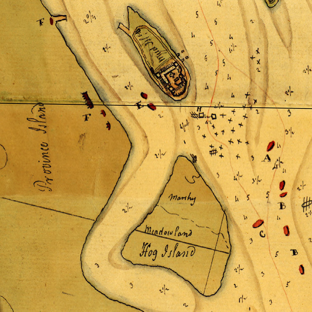
Revolutionary War Era hand-drawn map of the Delaware River banks, spanning from Philadelphia to Chester, with troop positions and fortifications/obstructions; beautifully drawn in pen-and-ink and watercolor. The map title reads: Plan of part of the river Delaware from Chester to Philadelphia, in which is mark’d the position of His Maj.’s Ships on the 15th of November 1777. The Obstructions to the Navigation of the river, laid down by the Rebels, are also mark’d.
• American War of Independence manuscript map of the Delaware River Valley from 1777
• Fine Art Premium Giclée Print
• Made in USA