Delaware River, 1776–1777, New York, New Jersey, Philadelphia, Revolutionary War Map
Brand: Battlemaps.us

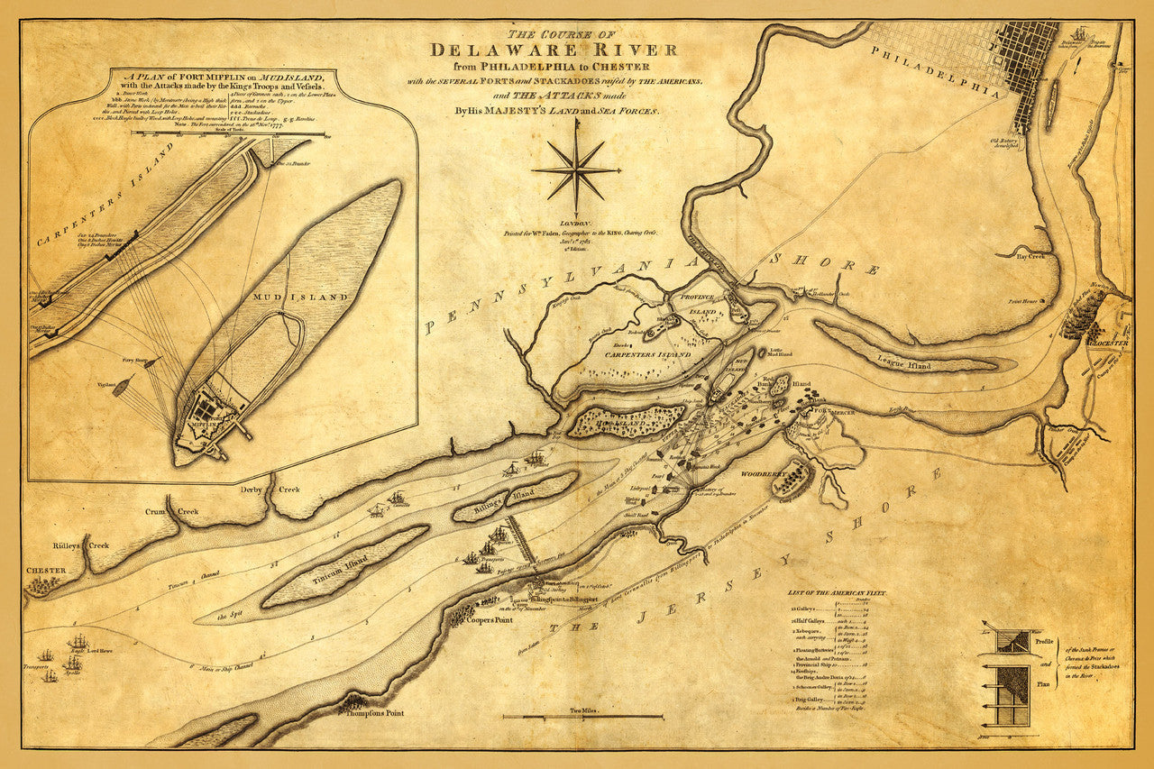
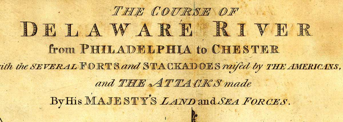
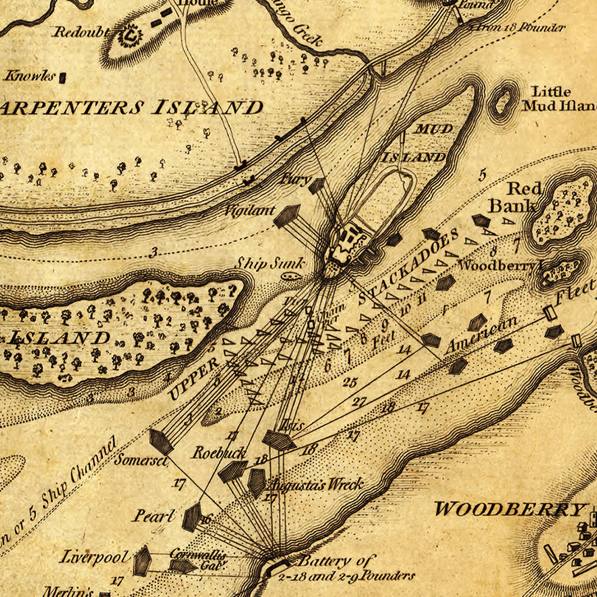
An antique map of the course of the Delaware River at the time of the American Revolution, from Philadelphia to Chester, showing troop movements, fortifications and soundings along the Delaware River Valley in Pennsylvania, New Jersey and New York. This updated 1785 2nd edition, (first edition issued by William Faden in 1777), features an added inset with, A Plan of Fort Mifflin on Mud Island, with the Attacks made by the King’s Troops and Vessels. Full map title reads: The Course of Delaware River from Philadelphia to Chester with the several Forts and Stackadoes raised by the Americans, and the Attacks made By His Majesty’s Land and Sea Forces.
• Map of the Delaware River Valley, with troop movements and fortifications, 1776-1777, Revolutionary War
• Fine Art Premium Giclée (Gouttelette) Print (100% cotton 340 gsm fine art paper)
• Made in USA