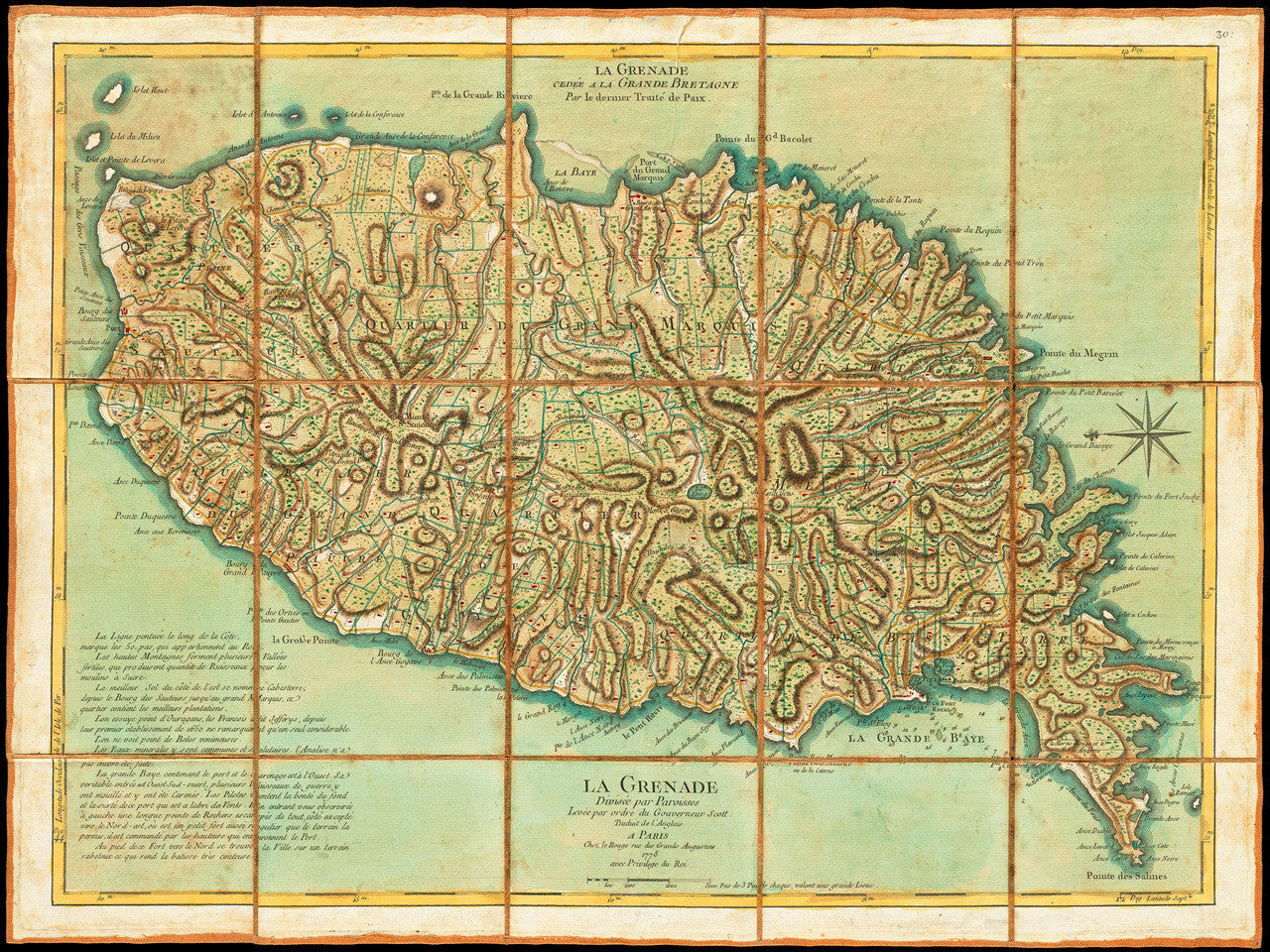
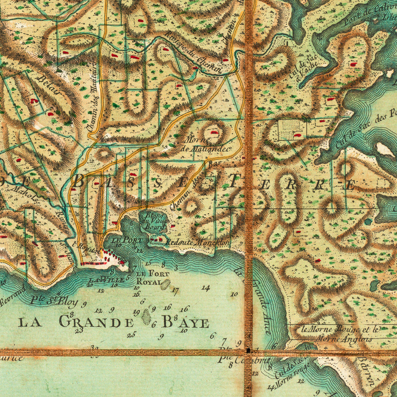
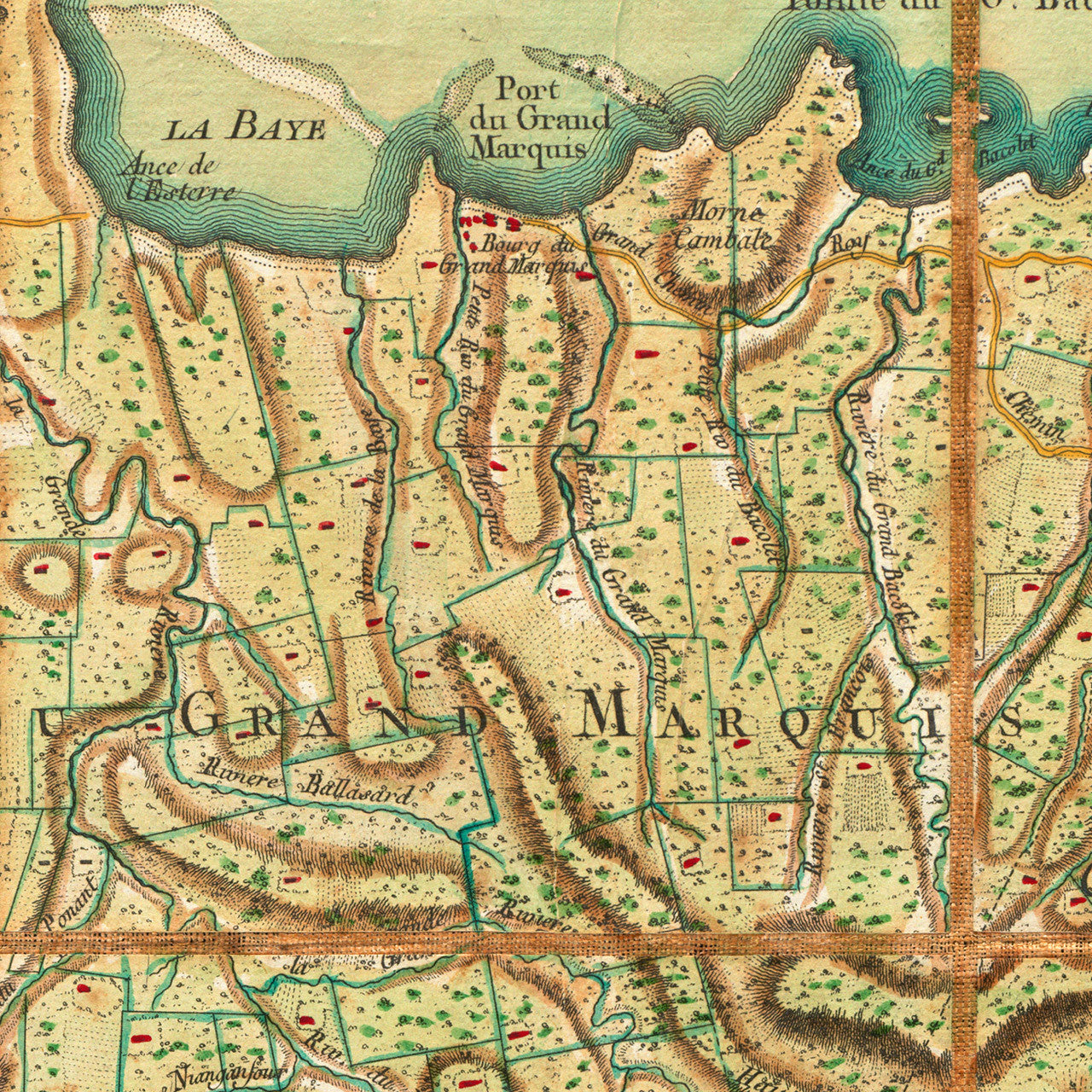
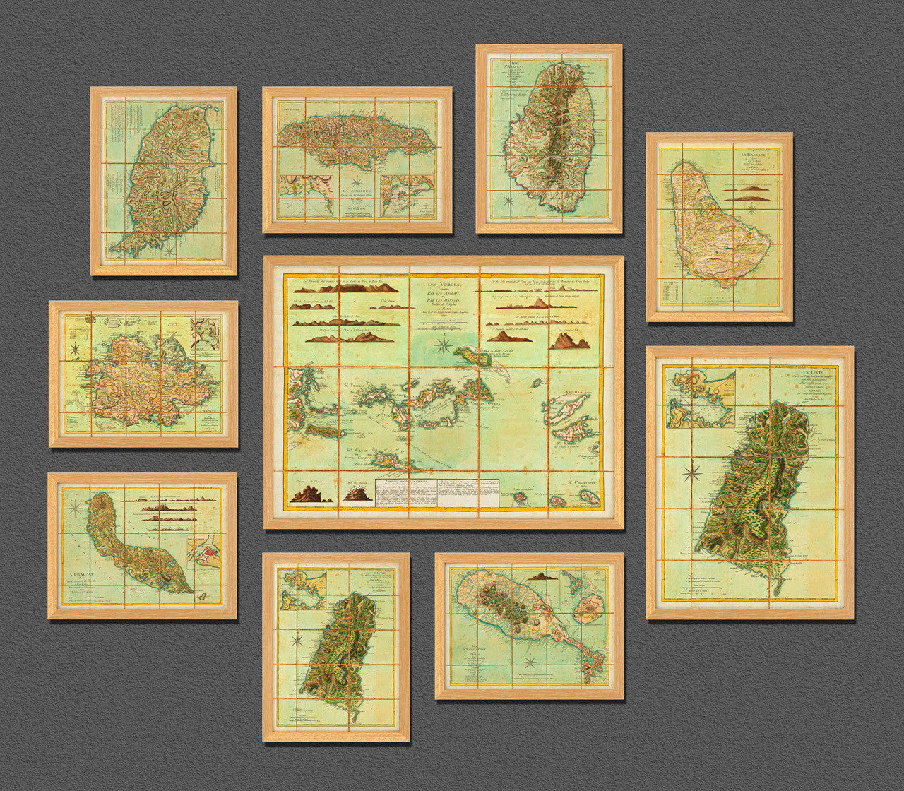

An eighteenth-century map of Grenada issued in 1778 by Georges-Louis Le Rouge, after Thomas Jefferys’ map of the Island of Spice. Jefferys’ map, first published in 1775 by Sayer & Bennett, was almost entirely in French, as it was based on French surveys, and all the place names were still French at the time. A sub-title at the top center of the layout reads: La Grenade cedée a la Grande Bretagne Par le dernier Traité de Paix. (Grenada ceded to Great Britain by the last Peace Treaty). The sub-title refers to the 1763 Treaty of Paris, until which Grenada was a French colony. The island was briefly re-captured by France during the American Revolutionary War at the Battle of Grenada in 1779, (only a year after this map was published). Grenada was eventually returned to Great Britain in 1783 with the Treaty of Versailles. The original English title of Jefferys map read: Grenada Divided into its Parishes, Surveyed By Order of His Excellency Governor Scott, and engraved by Thomas Jefferys, Geographer to the King. (Shown frames are not included.)
• 1778 Map of Grenada, La Grenade, by G. L. Le Rouge (after Jefferys), Revolutionary War Era
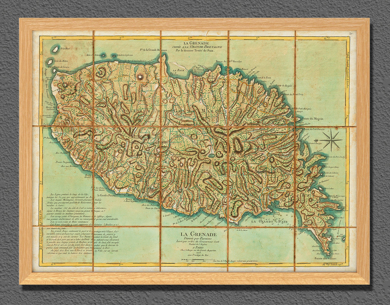
• Fine Art Premium Giclée (Gouttelette) Print (100% cotton 340 gsm fine art paper)
• Made in USA