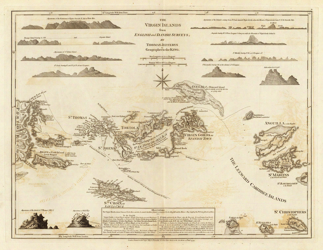
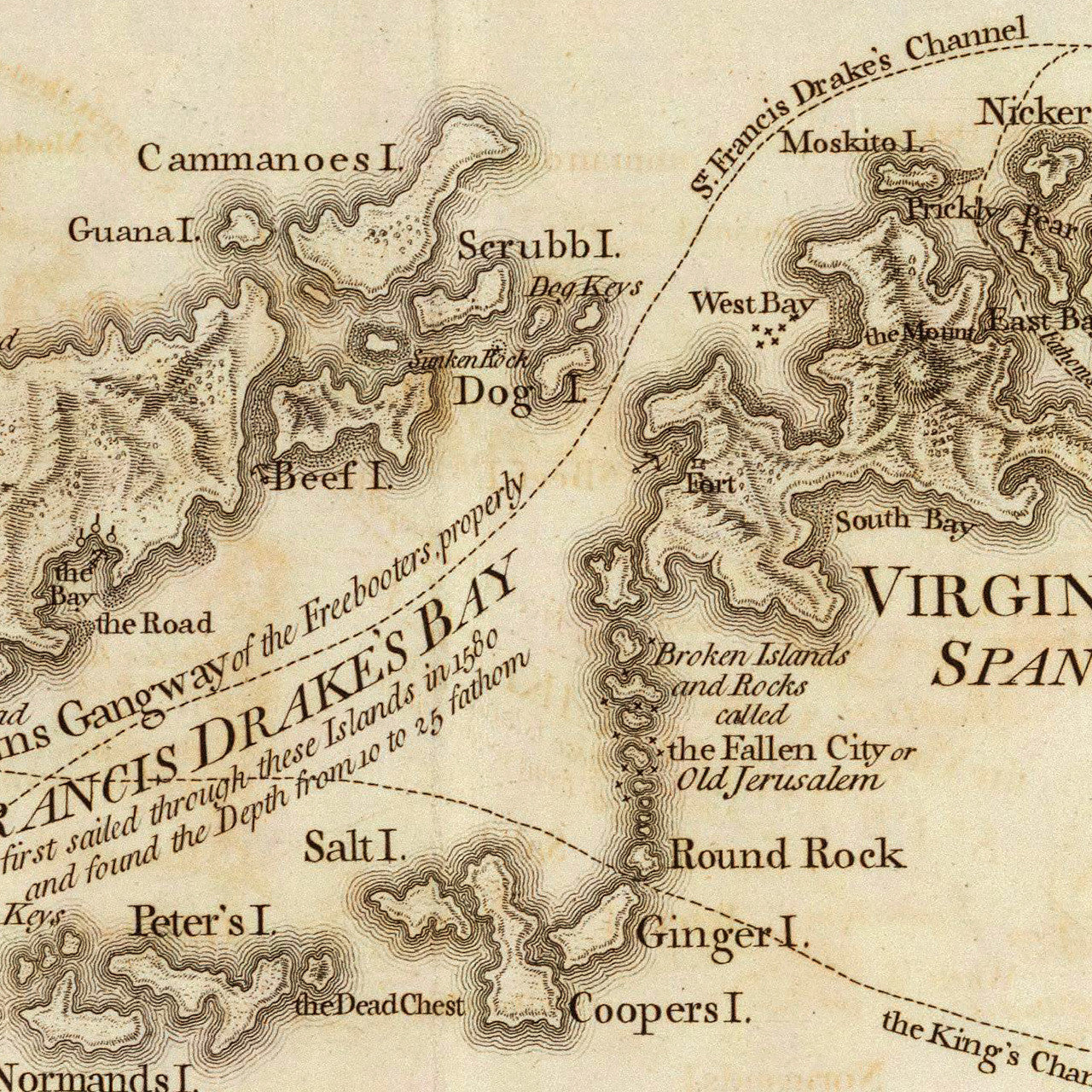
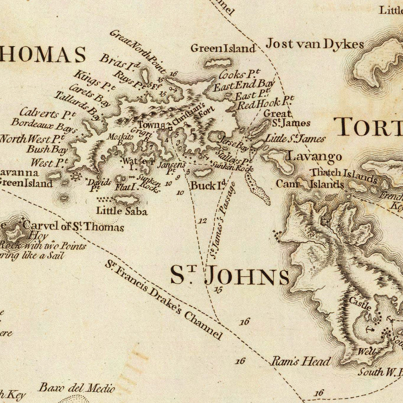
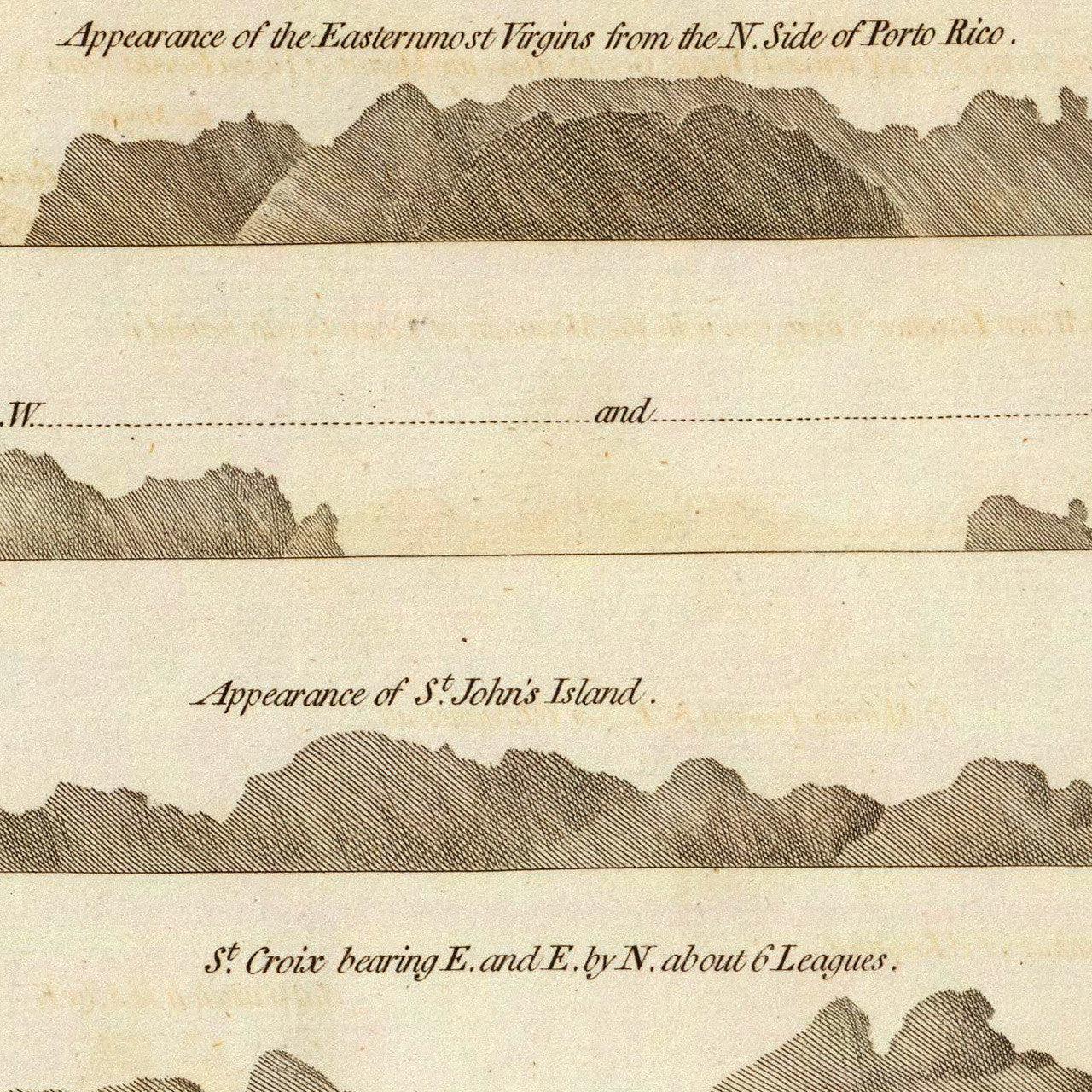
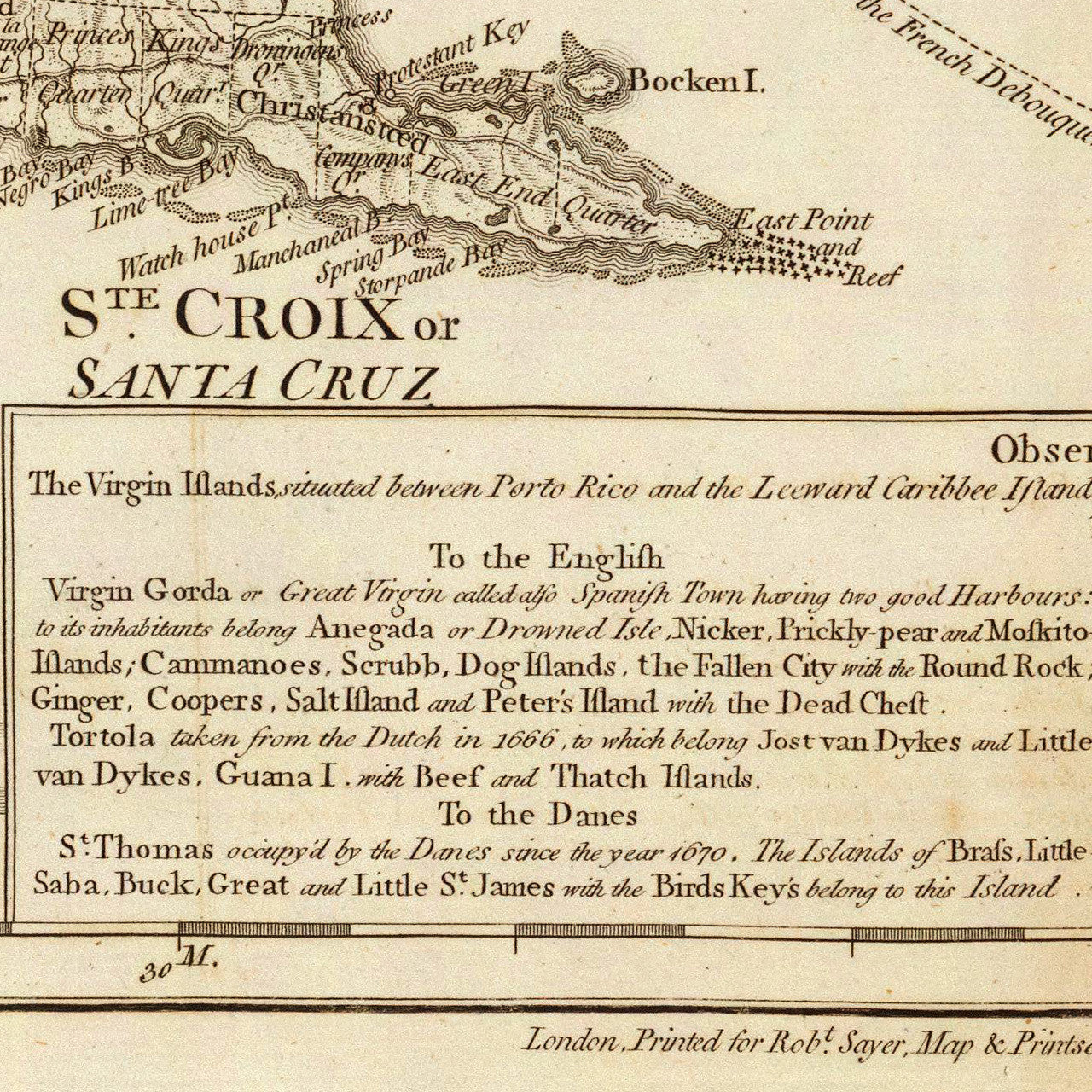

An eighteenth-century map of the Virgin Islands, including the British Virgin Islands, the Danish Virgin Islands (Danish Antilles, or Dansk Vestindien, nowadays the U.S. Virgin Islands), and the Spanish Virgin Islands of Vieques and Culebra, (nowadays part of Puerto Rico). The map also shows the easternmost part of Puerto Rico, and covers Anguilla, St. Martin/St. Maarten, Saba, St. Eustatius, and parts of St. Barts and St. Kitts (St. Christopher). The upper part of the layout includes island profiles. The bottom center is occupied by ‘Observations’. Full map title reads: The Virgin Islands from English and Danish Surveys, By Thomas Jefferys Geographer to the King.
(For a smaller, colored version, please see the Virgin Islands 1797 map. A 1779 French edition is also available in our collection.)
• 1775 map of the Virgin Islands, (BVI, USVI), Thomas Jefferys, (Sayer & Bennett)
• Fine Art Premium Giclée (Gouttelette) Print (100% cotton 340 gsm fine art paper)
• Made in USA