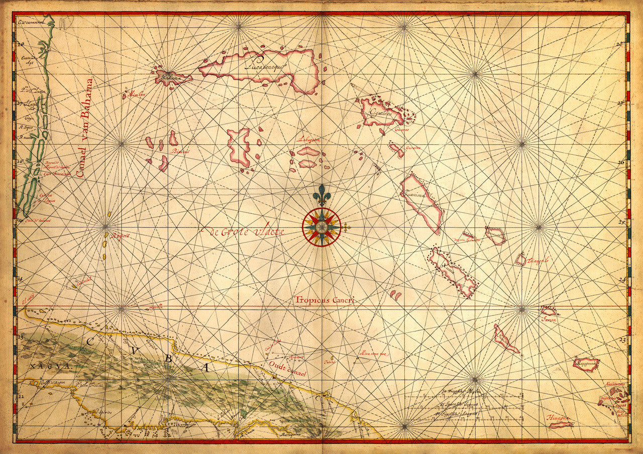
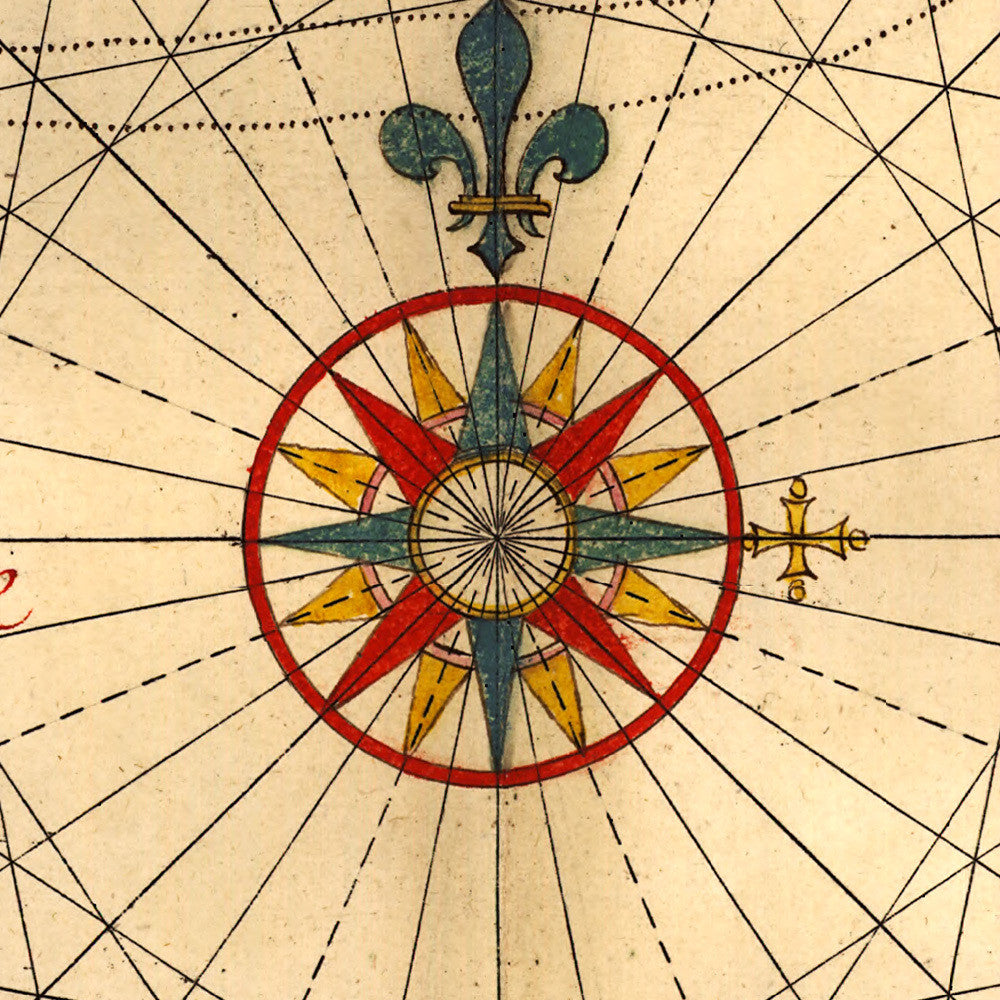
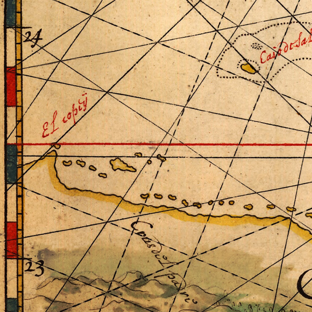
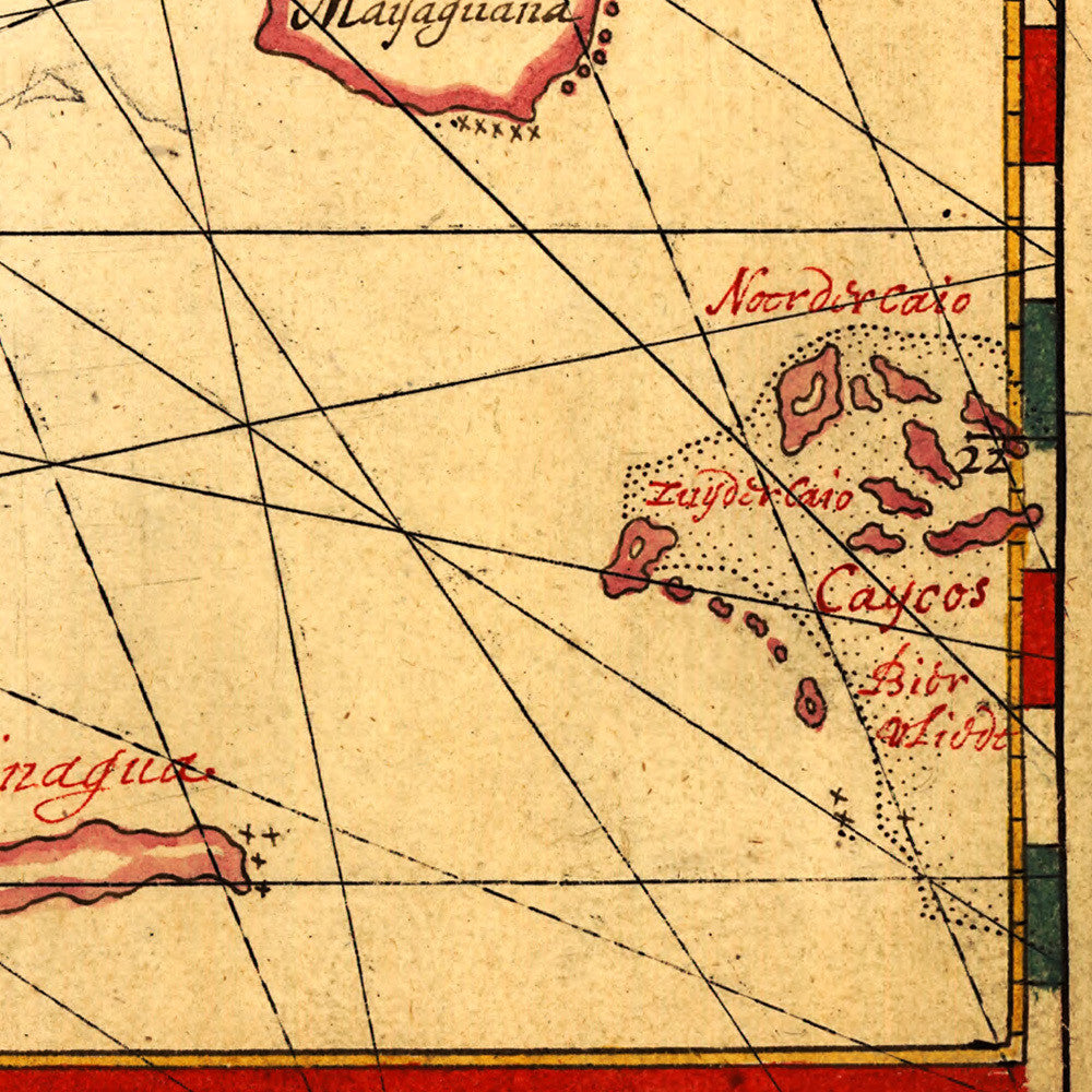
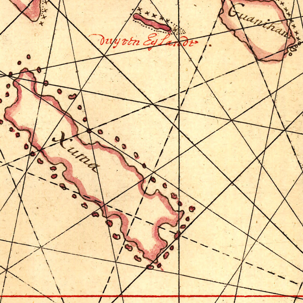

A mid-17th-century manuscript chart of the Bahamas, drawn ca. 1650 by Johannes Vingboons while employed by the Dutch West India Company (WIC). The chart focuses on an area of great strategic importance — one used exclusively by the Spanish Treasure Fleets on their route to Europe back from the New World. Prominently marked on the map is Canael van Bahama (the Bahama Channel), referring to the New Bahama Channel. The map includes parts of Cuba and Turks and Caicos, and Florida’s southeast coast. Vingboons was a skilled cartographer and mapmaker, and a masterful watercolorist, responsible for some of the most important and sought after charts and views of the 17th century.
• Nautical chart of the Bahamas, ca. 1650, Johannes Vingboons (WIC)
• Fine Art Premium Giclée (Gouttelette) Print (100% cotton 340 gsm fine art paper)
• Made in USA