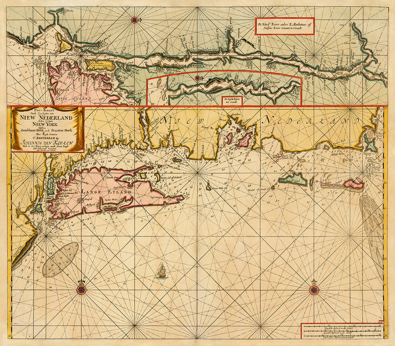

A 17th-century Dutch nautical chart of the coast of New York, Long Island, and Southern New England, still identified on the map as “New Netherland”. Johannes van Keulen first issued the chart in Amsterdam in 1682, and apparently based it on surveys made before 1664. The chart contains separate inset maps of New York (“New Amsterdam on the island of Manhattan”), New York Bay and the Hudson River, and the Connecticut River, marked as De Versche Rivier in the inset title.
• 1682 Dutch chart of New Netherland, including the coast of New York, Long Island and Lower New England
• Title: Pas-Kaart Vande Zee Kusten van Niew Nederland Anders Genaamt Niew York…
• Fine Art Premium Giclée (Gouttelette) Print (100% cotton 340 gsm fine art paper)
• Made in USA