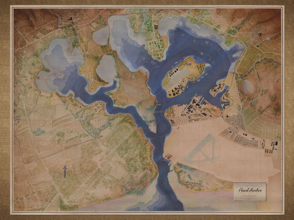
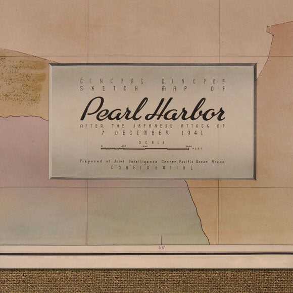
Pearl Harbor 1941, Sketch Map of Pearl Harbor After the Attack on December 7, 1941
Brand: Battlemaps.us
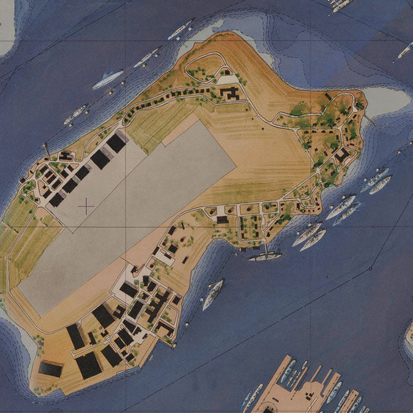
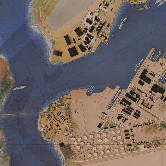
The Joint Intelligence Center (JIC) for the Pacific Ocean Area created this beautiful watercolor map of Pearl Harbor to depict one of the darkest days in United States history – December 7, 1941. The JIC created the map for the Commander in Chief, Pacific Fleet (CINCPAC) and Commander in Chief, Pacific Ocean Area (CINCPOA) to show the government leadership in Washington D.C. the damage inflicted on the U.S. Navy’s Pacific Fleet. The map is very muted in its presentation of the damage. Ships on Battleship Row like the U.S.S. Arizona and U.S.S. West Virginia are shown with water over their decks while the U.S.S Utah is capsized. No text describes the condition of these ships, just slight coloring of blue to represent that they are resting on the bottom of the harbor.
- Map title: Sketch Map of Pearl Harbor after the Japanese Attack of 7 December 1941
- Watercolor map showing the arrangement of ships and naval facilities and the results of the Japanese attack
- Premium Giclée Print (Ultra-Premium Presentation Enhanced Matte Paper)
- Made in USA


