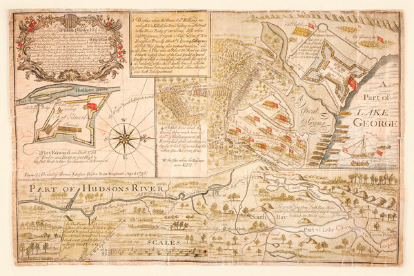
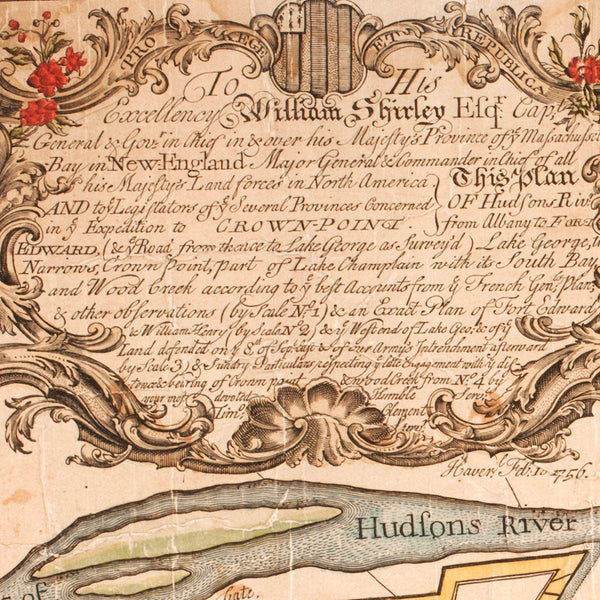
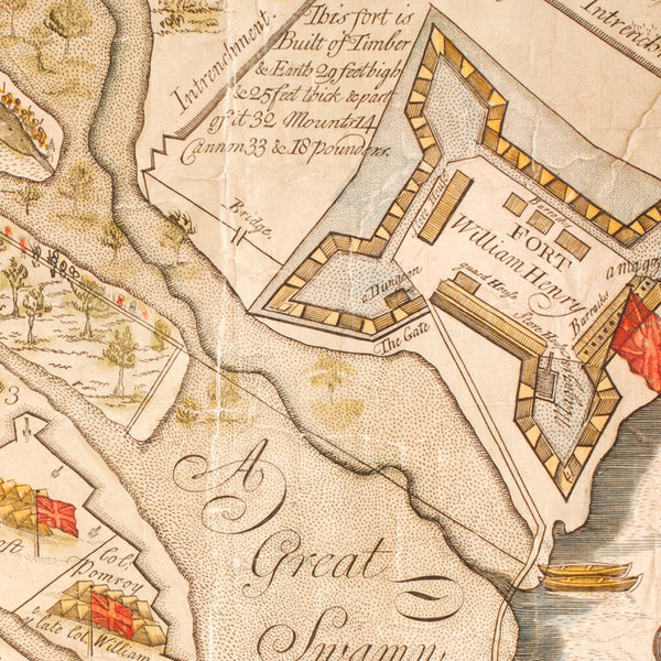
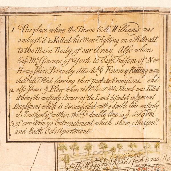
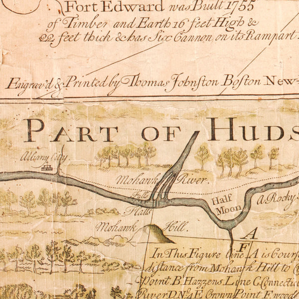
A 1756 map of the Battle of Lake George in New York, fought on September 8, 1755, between the French and Native American (Iroquois) forces under the command of General Ludwig August von Dieskau, and the British and provincial troops led by Sir William Johnson. The map, oriented with west at the top, contains three different plans of the area near Lake George. The top left inset is a plan of Fort Edward on the Hudson River. The top right inset is a view of Fort William Henry on Lake George. The entire bottom part is a map of a stretch of the Province of New York, showing the Hudson River Valley, Lake George, and part of Lake Champlain. The whole map is richly decorated with illustrations, descriptions and indices of locations, troop positions, boats, ships, fortifications, a compass rose and a scale. The map, compiled and drawn by surveyor Timothy Clement, was dedicated to William Shirley, British Governor of the Province of Massachusetts Bay at the time. The title within the ornate cartouche reads: To His Excellency William Shirley Esqr. Capt. General & Govr. in Chief in & over his Majesty’s Province of ye Massachussetts Bay in New England Major General & Commander in Chief of all hi Majesty’s Land Forces in North America… This Plan of Hudsons Rivr: from Albany to Fort Edward, … Timo. Clement … Feb. 10 1756. The map was “engraved & printed by Thomas Johnston (of) Boston, New England, April 1756.”
• Map of the Battle of Lake George in New York, 1755 (1756), French & Indian War
• Fine Art Premium Giclée (Gouttelette) Print (100% cotton 340 gsm fine art paper)
• Made in USA

