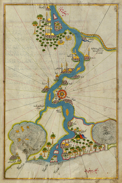
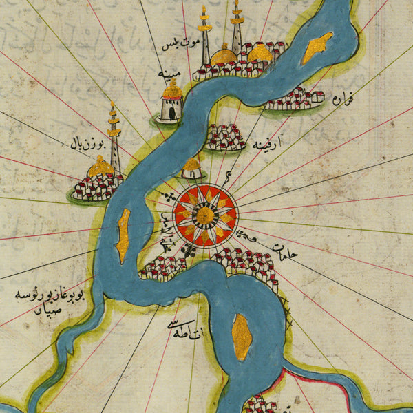
An early-16th century illuminated map of the Nile River estuary by the Ottoman admiral and noted cartographer Piri Reis. The map, oriented with south up, is from the Kitab-i Bahriye (Book of Navigation), which was dedicated and presented to Sultan Suleiman I (Süleyman) by Piri Reis in 1525. Cairo is shown at the top of the map, just upstream from the Nile Delta.
• Illuminated map of the Nile Delta with Cairo and Alexandria, Ottoman Egypt (Egypt Eyalet), 1525, Piri Reis
• Fine Art Premium Giclée (Gouttelette) Print (100% cotton 340 gsm fine art paper)
• Made in USA


