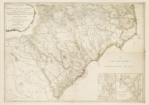
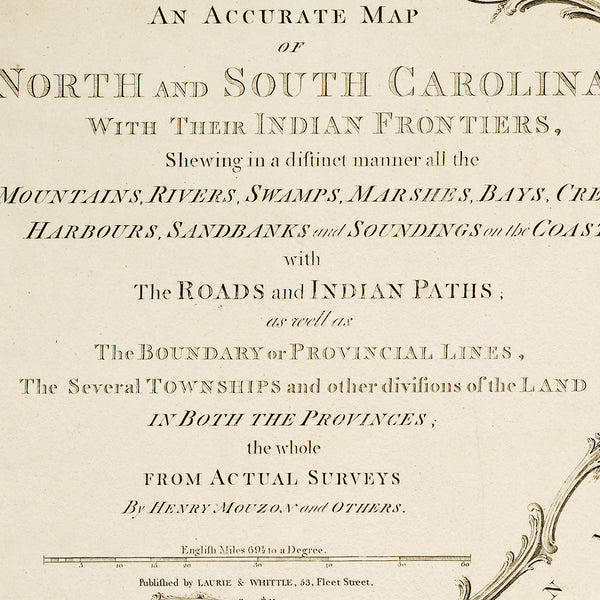
One of the most important general maps of the period, the Mouzon map became an indispensable military asset during the Revolutionary War. It was carried and used by three of the key commanders of the American Revolution — General Washington, Comte de Rochambeau, and Sir Henry Clinton. The author of the map, Henry Mouzon, was an American civil engineer and surveyor of French Huguenot extraction, who was educated at La Sorbonne in Paris. Title: An Accurate Map of North and South Carolina With Their Indian Frontiers, Shewing in a distinct manner all the Mountains, Rivers, Swamps, Marshes, Bays, Creeks, Harbours, Sandbanks and Soundings on the Coasts; with The Roads and Indian Paths; as well as The Boundary or Provincial Lines, The Several Townships and other divisions of the Land in Both the Provinces; the whole from Actual Surveys by Henry Mouzon and Others.
• An Accurate Map of North and South Carolina…, 1775 (1794 ed.), Henry Mouzon
• Fine Art Premium Giclée (Gouttelette) Print (100% cotton 340 gsm fine art paper)
• Made in USA


