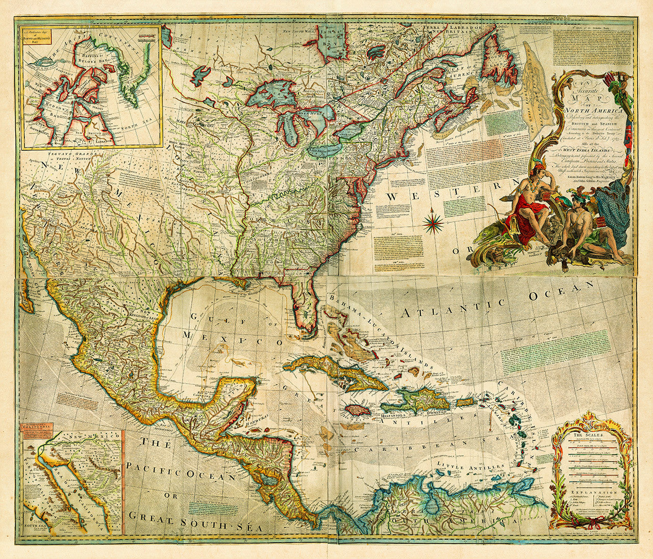
North America, 1772, Caribbean, European Claims, American Revolutionary Era Map
Brand: Battlemaps.us

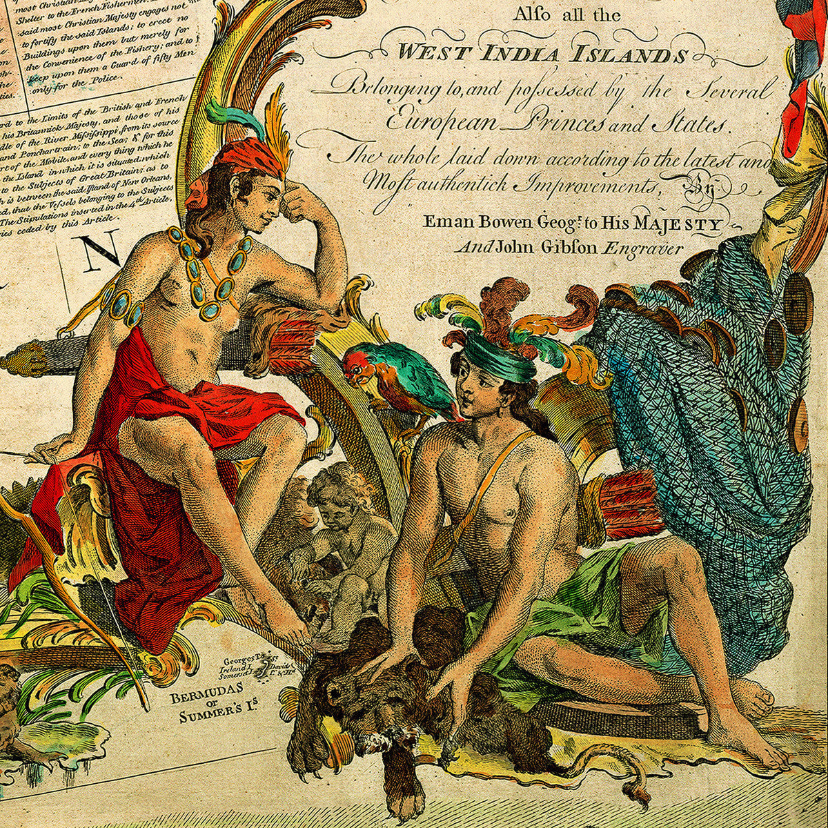
An antique map of North America and the Caribbean, created by the acclaimed British map seller and engraver, Emanuel Bowen. Issued on the eve of the American Revolution in 1772, the map is exquisitely colored by hand and updated to reflect the Treaty of Paris, and the changes in European colonial claims after the French and Indian War. The British colonies are colored in red while the Spanish territories are outlined in yellow. The French areas of control are shown in green.
• Antique map of North and Central America, and the Caribbean, 1772, Emanuel Bowen, John Gibson (engraver)
• Title: An Accurate map of North America describing and distinguishing the British and Spanish Dominions…
• Fine Art Premium Giclée (Gouttelette) Print (100% cotton 340 gsm fine art paper)
• Made in USA