New York, 1777, Ticonderoga, Mount Independence, Mount Hope, Revolutionary War Plan
Brand: Battlemaps.us

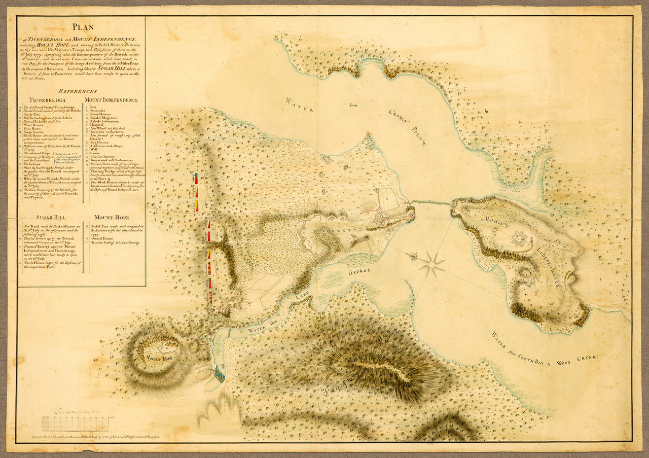
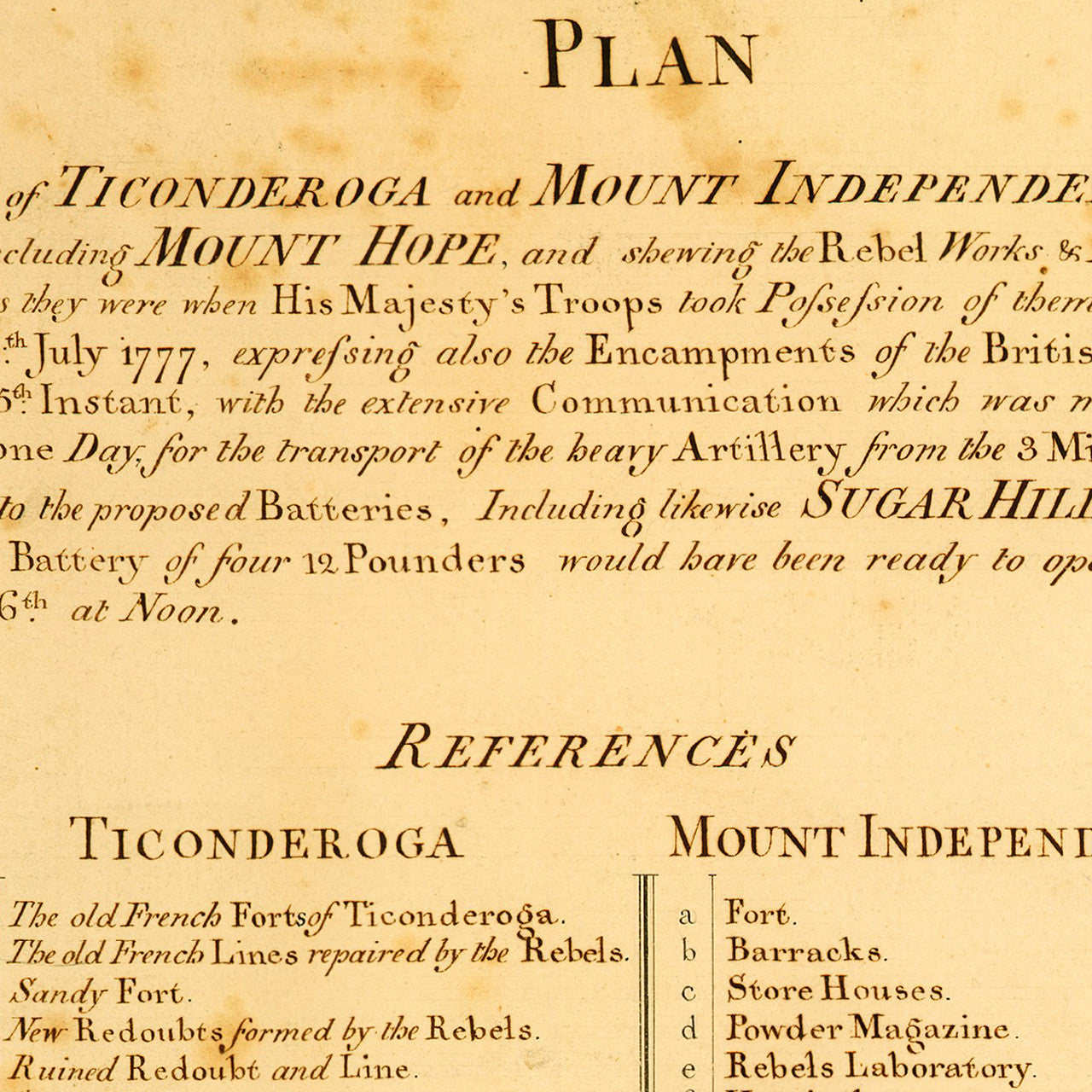
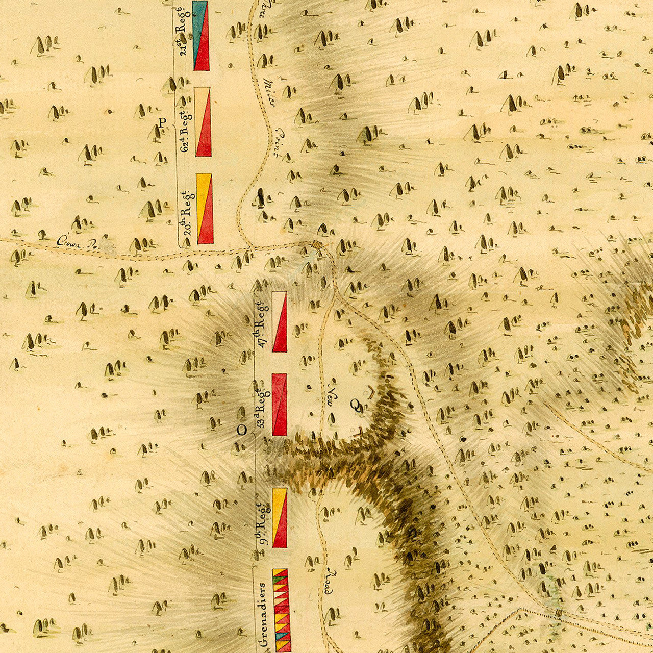
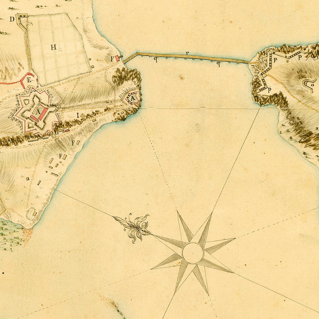
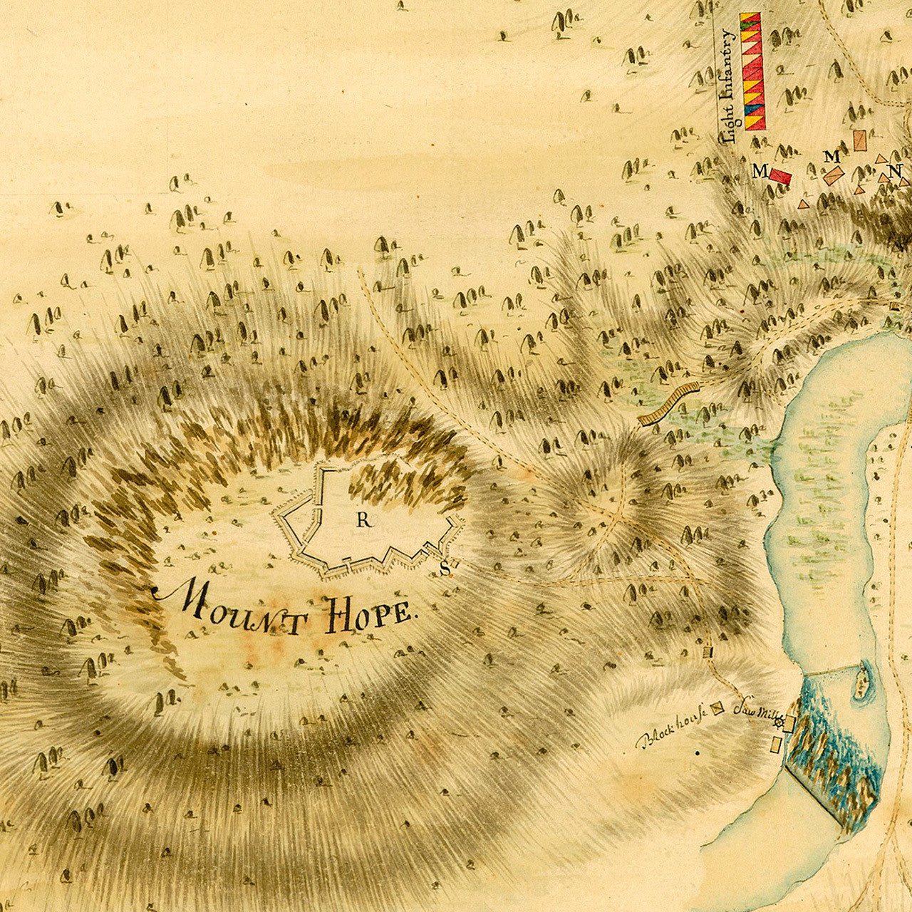
A manuscript battle plan of Ticonderoga, New York, and surrounding area, including Mount Independence, Mount Hope, and Sugar Hill. The map was drawn by British Army Engineer Lieut. Charles Wintersmith, and dates itself shortly after the area was abandoned by General Arthur St. Clair and his Continental Army on July 6th, 1777, to superior British forces under General John Burgoyne. The manuscript describes in detail the state of fortifications, works and batteries, as well as the British encampment shortly before they took possession. The inscription on the bottom reads: “Surveyed & Drawn by Lieut. Charles Wintersmith Assistt. Engr. By Order of Lieutenant Twiss Commandg. Engineer”.
• Revolutionary War manuscript plan of Ticonderoga, New York, and surrounding area, 1777
• Fine Art Premium Giclée (Gouttelette) Print (100% cotton 340 gsm textured fine art paper)
• Made in USA