
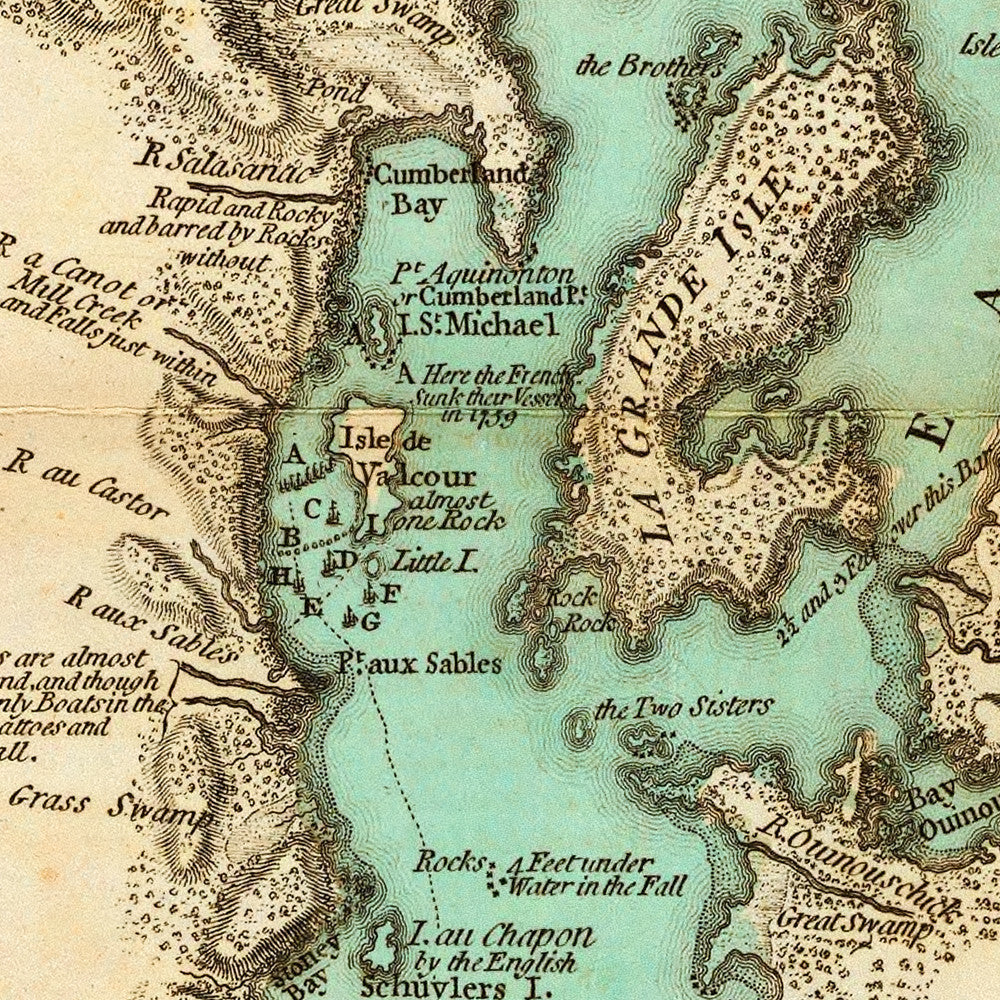

New York, 1776, Lake Champlain, Lake George, Valcour Island, Revolutionary War Map
$100
Brand: Battlemaps.us

An old map of Lake Champlain and Lake George, covering the area to Crown Point and Saint John (Fort Saint-Jean, Quebec). Published by Sayer & Bennett in 1776 and surveyed and drawn by William Brassier in 1756 and 1762, by order of Major General Jeffery Amherst (Lord Amherst, KCB), Commander-in-Chief of His Majesty’s Forces in North America. The map shows naval engagements at Valcour Island and Buttonmold Bay in October, 1776, with explanations of the actions.
• A survey of Lake Champlain & Lake George from 1776 (drawn in 1756 and 1762)
• Fine Art Premium Giclée (Gouttelette) Print (100% cotton 340 gsm fine art paper)
• Made in USA