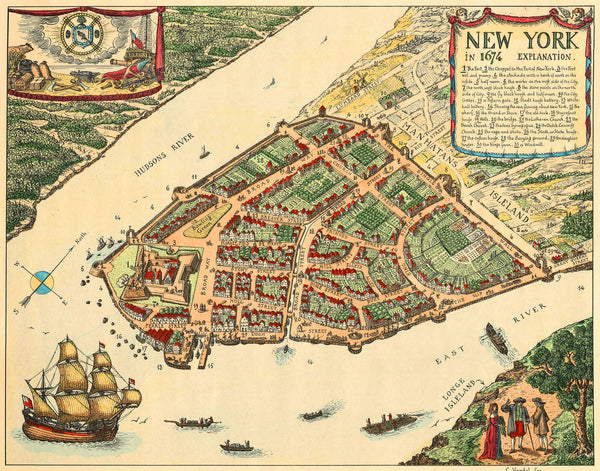
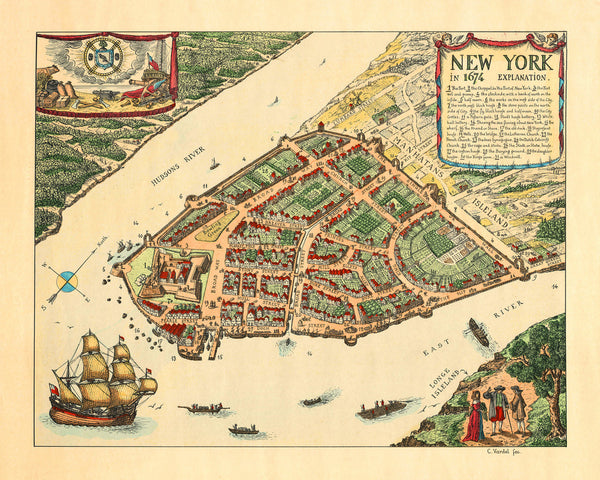
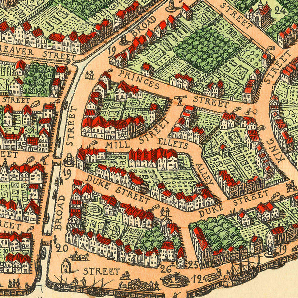
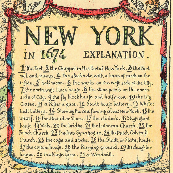
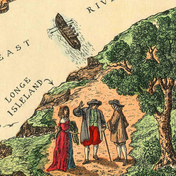
A vintage map of New York showing the city as it appeared in 1674. This colorful, decorative city plan depicts Lower Manhattan from a southeasterly bird’s-eye view, with the Hudson and East Rivers flanking “Manhatans Isleland”, and showing various ships, boats and rafts. The top left corner is occupied by a decorative cartouche containing period tools of trade and industry, and featuring two anachronistic American flags. The top right corner is allotted to a title cartouche, containing an interesting map key to locations of note, entitled “Explanation”. The bottom right corner contains the foreground of the layout — a small portion of the shoreline of “Longe Isleland”, at what is today Brooklyn, with human figures, drawn à la Braun & Hogenberg. The map, which was created in the early 20th century, borrows stylistic elements from the 16th- and 17th-century European town views. Its cartographic sources appear to be the Castello and Duke’s Plans of New Amsterdam, and/or some of their derivatives.
• Map of New York in 1674, (early 20th c.), hand-coloring, C. Vardel (C. Vardel fec.)
• Fine Art Premium Giclée (Gouttelette) Print (100% cotton 340 gsm fine art paper)
• Made in USA

