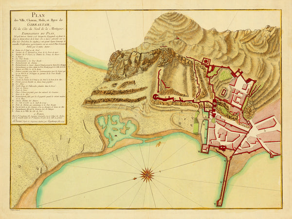
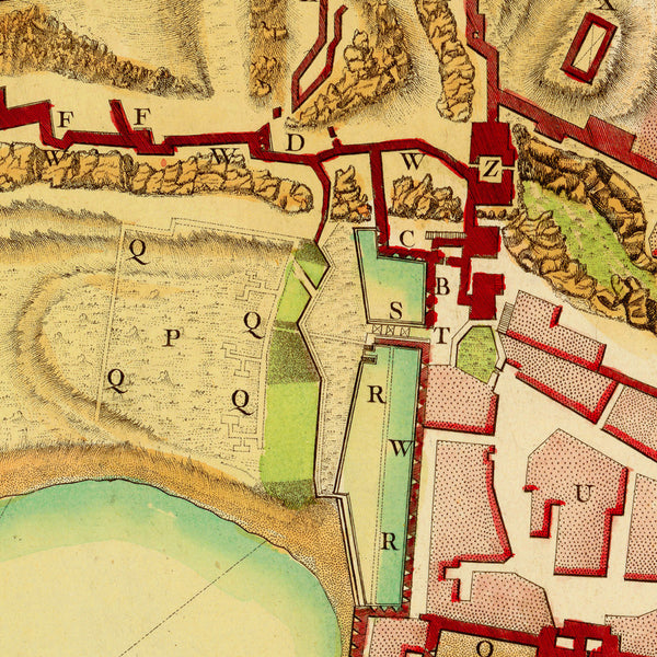
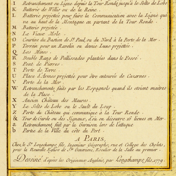
An eighteen-century map of Gibraltar, “A Plan of the Town, Castle, Pier, and Bay of Gibraltar, Seen from the North Coast of the Mountain”, which was arguably the most comprehensive record of the British defensive infrastructure at Gibraltar. The plan depicts the northern part of the peninsula with a portion of the bay, from a perspective view facing East. It was based on a British military manuscript map of the garrison, and was published at the onset of the Great Siege (1779-1783), by the Longchamps firm in Paris (Sieur Sebastian G. Longchamps and his son, Jacques-François de Longchamps). The title in French reads: Plan des Ville, Chateau, Mole et Baye de Gibraltar, Vu du Côte du Nord de la Montagne. The Great Siege of Gibraltar was an unsuccessful attempt by France and Spain to capture “The Rock” during the American War of Independence, when British resources had been allocated elsewhere.
• Plan of Gibraltar, 1779, the Great Siege of Gibraltar, France, Spain, Britain, American Revolutionary War
• Title: Plan des Ville, Chateau, Mole et Baye de Gibraltar…, 1779, Tulpin, Longchamps
• Fine Art Premium Giclée (Gouttelette) Print (100% cotton 340 gsm fine art paper)
• Made in USA


