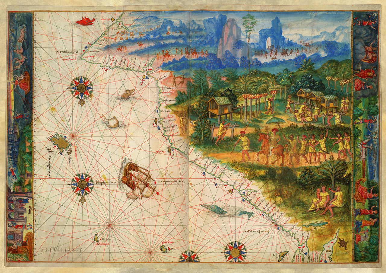
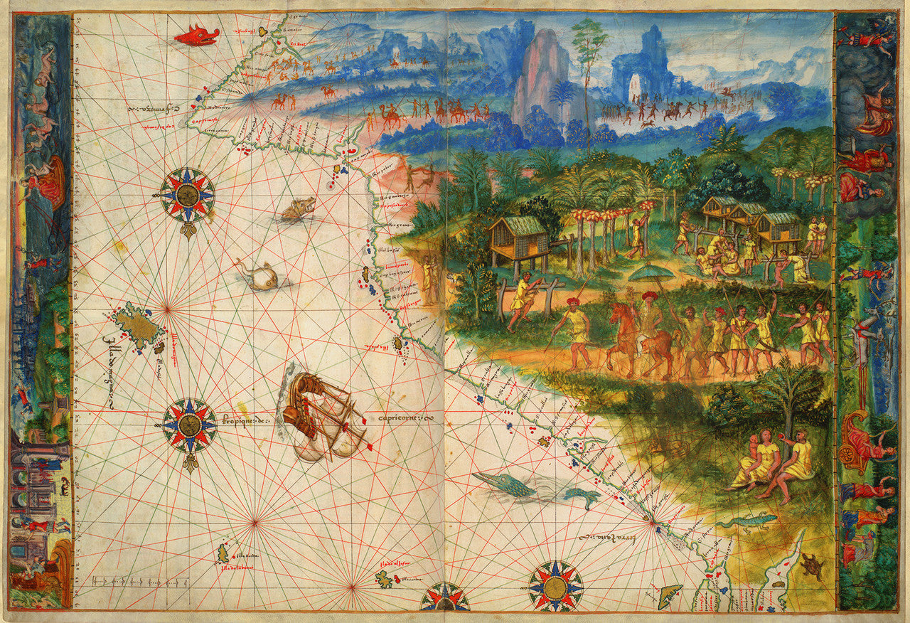

Arguably, the first known map of Australia
Dutch explorer Admiral Willem Janszoon (Willem Jansz) is conventionally cited as the first European to discover Australia in 1606. At the time, he was a navigator in employ of the VOC (Dutch East India Company). Captain James Cook is traditionally credited with having achieved “the first recorded European contact with the eastern coastline of Australia”. Both the Vatican and the Portuguese crown had been in possession of precisely drawn charts with detailed coastlines of the Australian continent at least sixty years before Willem Janszoon’s landing in today’s Cape York, Queensland, and more than 220 years before Captain Cook’s First Voyage in 1770.
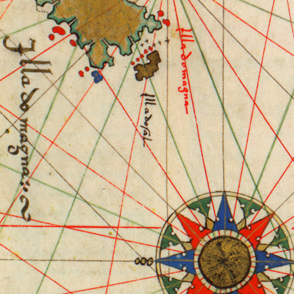
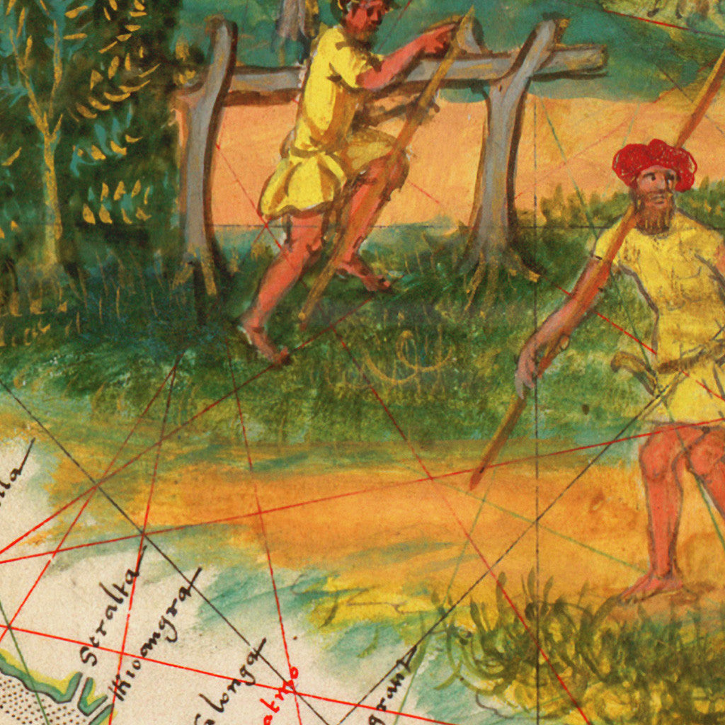
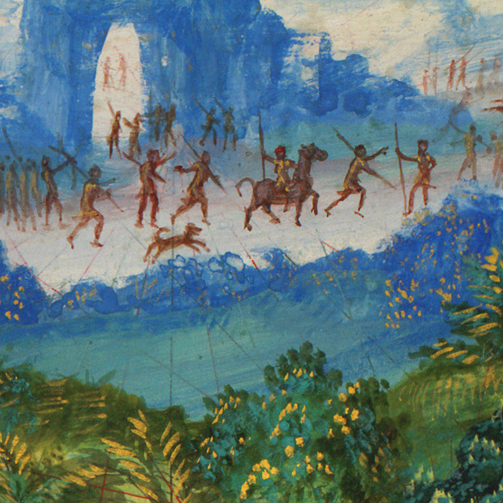
This is one of those maps. It shows the eastern coast of Australia (Terra Java/Jave la Grande/Greater Java). The map was a part of the Vallard Atlas, published in Dieppe, France, in 1547. The anonymous author(s) of the atlas presumably used secret Portuguese and French long-lost sources. The map is oriented with south up. The Tropic of Capricorn is drawn as a red line crossing the sailing ship and the wind rose in the lower left area. The map, as the rest of the atlas, is hand drawn and beautifully illustrated in strong vibrant colors. Location names are inscribed in Latin and Galician–Portuguese.
• Oldest known map of Australia, eastern coastline, Terra Java, 1547, Vallard Atlas
• Fine Art Premium Giclée (Gouttelette) Print (100% cotton 340 gsm fine art paper)
• Made in USA