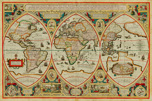
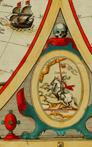
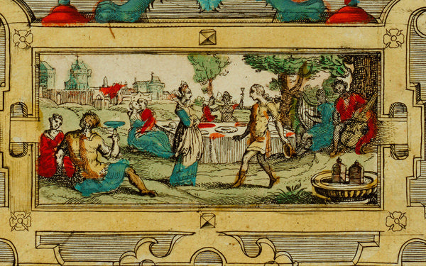
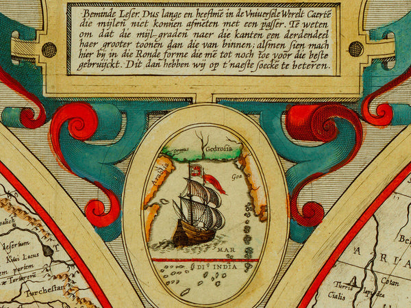
An early 17th-century world map by Frans Verhaer (Franciscus Haraeus). The world is displayed as a triptych, commonly used in Christian art at the time. The central section is focused on the Old World view of the lands bordering the Mediterranean Sea — Europe, Africa, and western Asia. The left section displays the European discoveries to the west (Novus Occidens) — the Atlantic Ocean and the Americas. The right sphere depicts the European discoveries to the east (Novus Oriens) — the Far East, the East Indies, and the Pacific Ocean. A small inset at the bottom provides a legend with symbols identifying religious habitations — a cross for Christian regions, a crescent for Muslim, and a slanted arrow for barbarians. The inset views in the top corners and along the bottom show biblical themes including the Flood and Noah’s Ark.
• Antique world map from 1618, by Franciscus Haraeus (Verhaer), title: Geographia Restituta per Globi Trientes
• Fine Art Premium Giclée (Gouttelette) Print (100% cotton 340 gsm fine art paper)
• Made in USA


