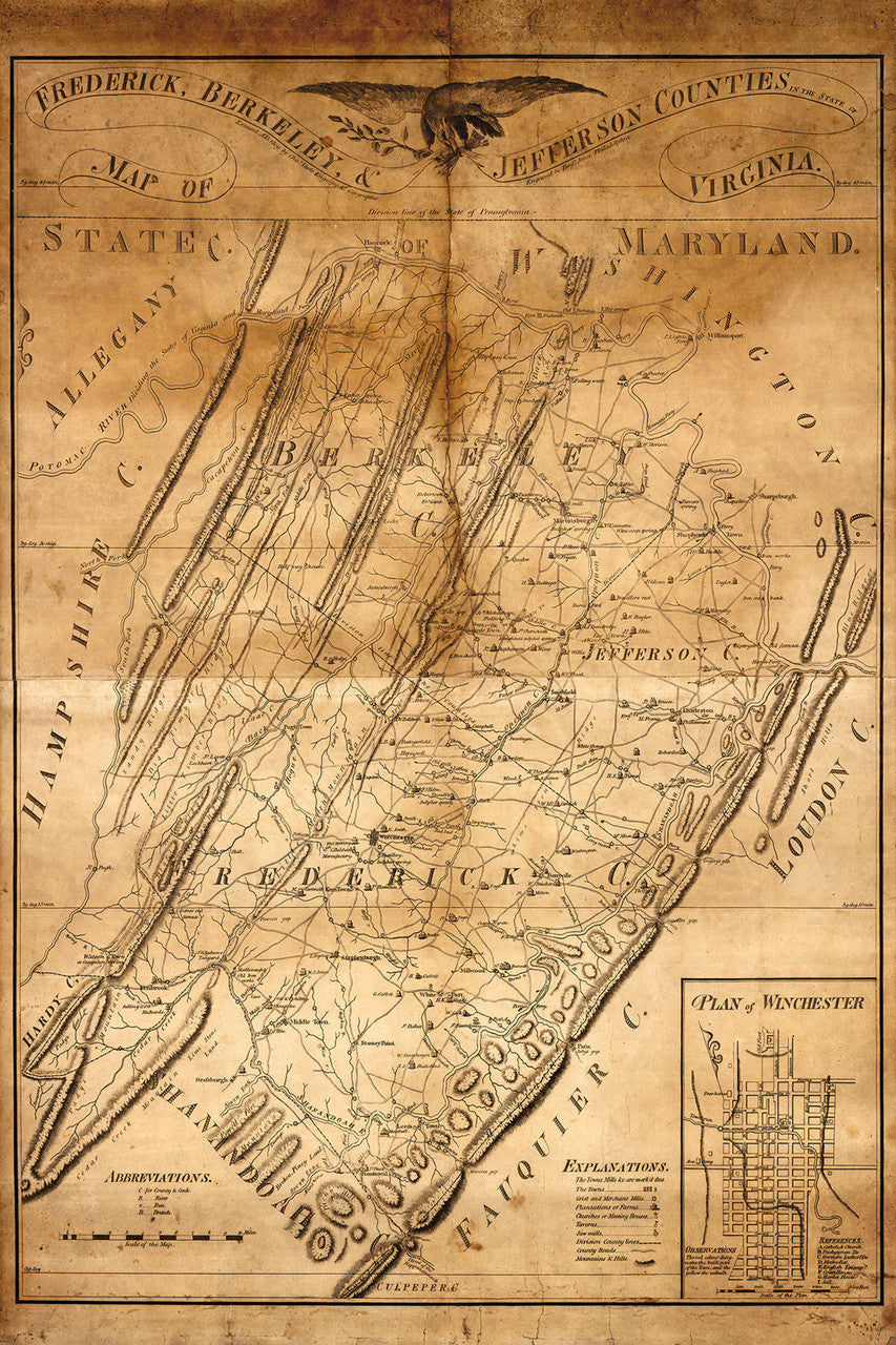
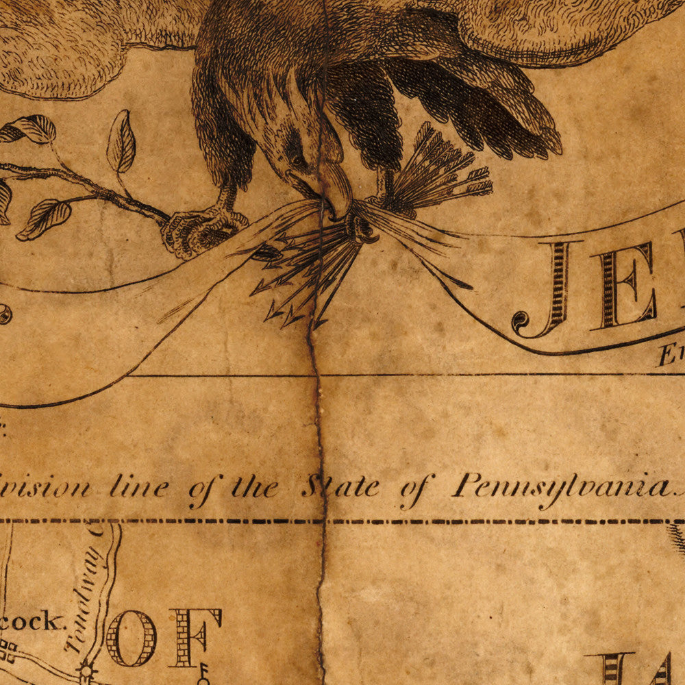
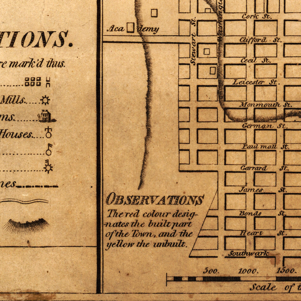

Large-size old map of Virginia in 1809, with a plan of Winchester and the Counties of Berkeley (today in West Virginia), Frederick, and Jefferson. The map includes parts of Loudoun (Loudon), Fauquier, Hampshire and Alleghany (Allegany) Counties, and parts of Maryland. Published by Charles Varle in Philadelphia in 1809.
- 1809 Landowners’ map of counties in Northern Virginia, with a plan of Winchester
- Fine Art Premium Giclée (Gouttelette) Print (100% cotton 340 gsm fine art paper)
- Made in USA