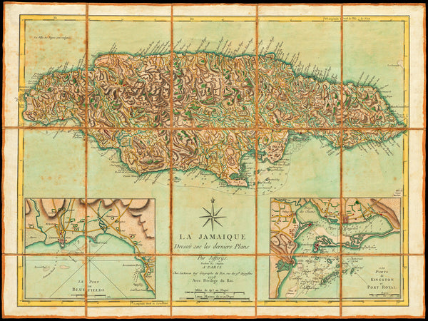
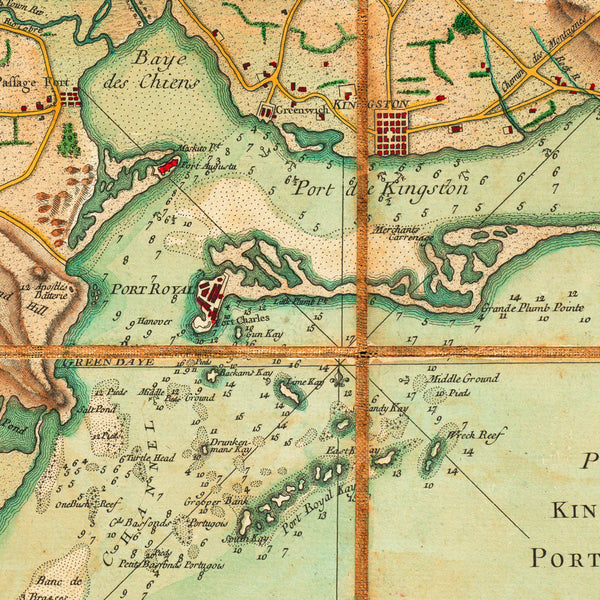
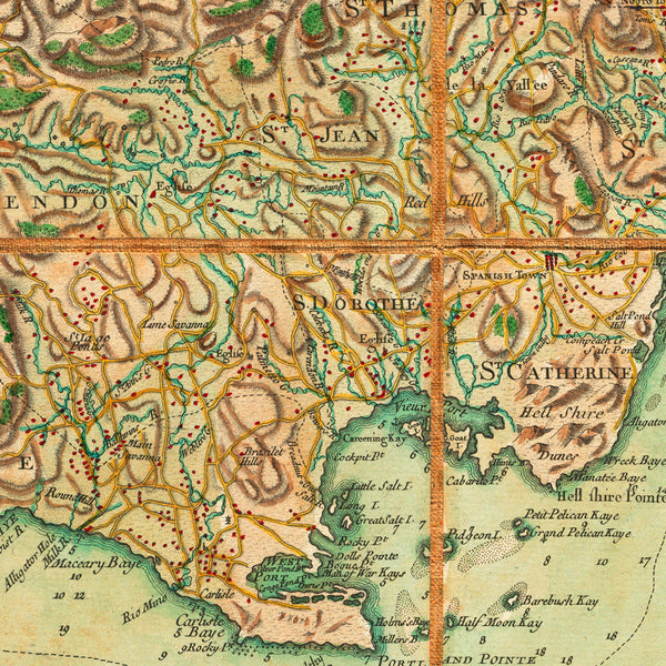
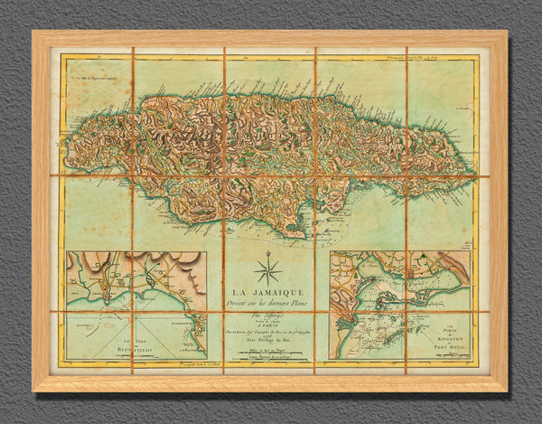
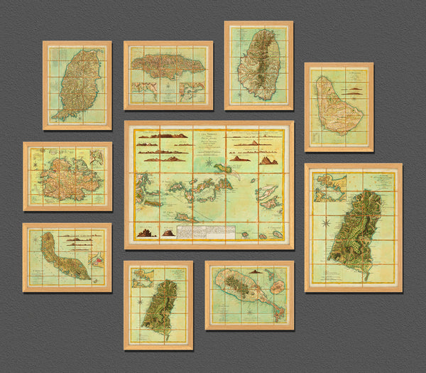
An eighteenth-century map of Jamaica with insets of the harbors of Port Royal and Kingston, and Bluefields. The map is a 1778 French edition of Thomas Jefferys’ 1775 map, and was translated and published by Georges-Louis Le Rouge. The map contains roads, buildings and fortifications, as well as banks, soundings and navigational markings along the coastline of the island. Map title reads: La Jamaique Dressée sur les derniers Plans… (Shown frames are not included.)
• French edition of Thomas Jefferys’ 1775 map Jamaica from the Latest Surveys…, 1779, G. L. Le Rouge
• Fine Art Premium Giclée (Gouttelette) Print (100% cotton 340 gsm fine art paper)
• Made in USA

