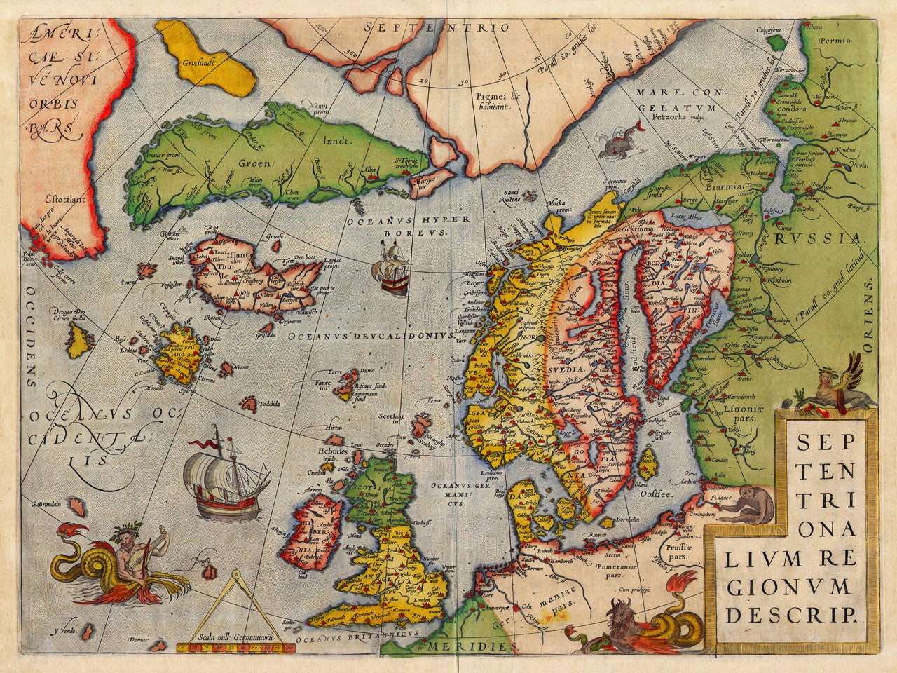
North Atlantic, 1570, Europe, Septentrionalivm Regionvm Descrip, Ortelius Map
Brand: Battlemaps.us

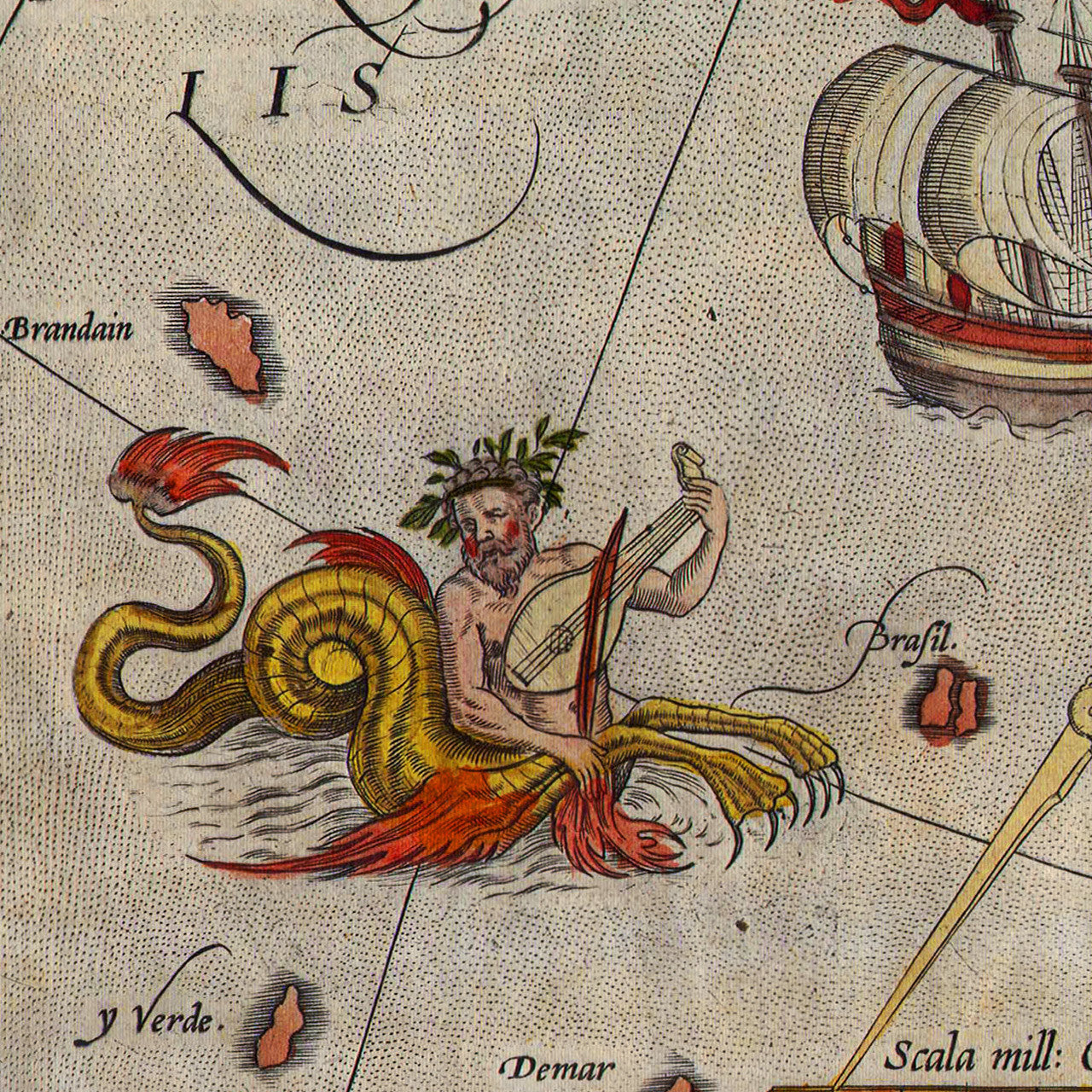
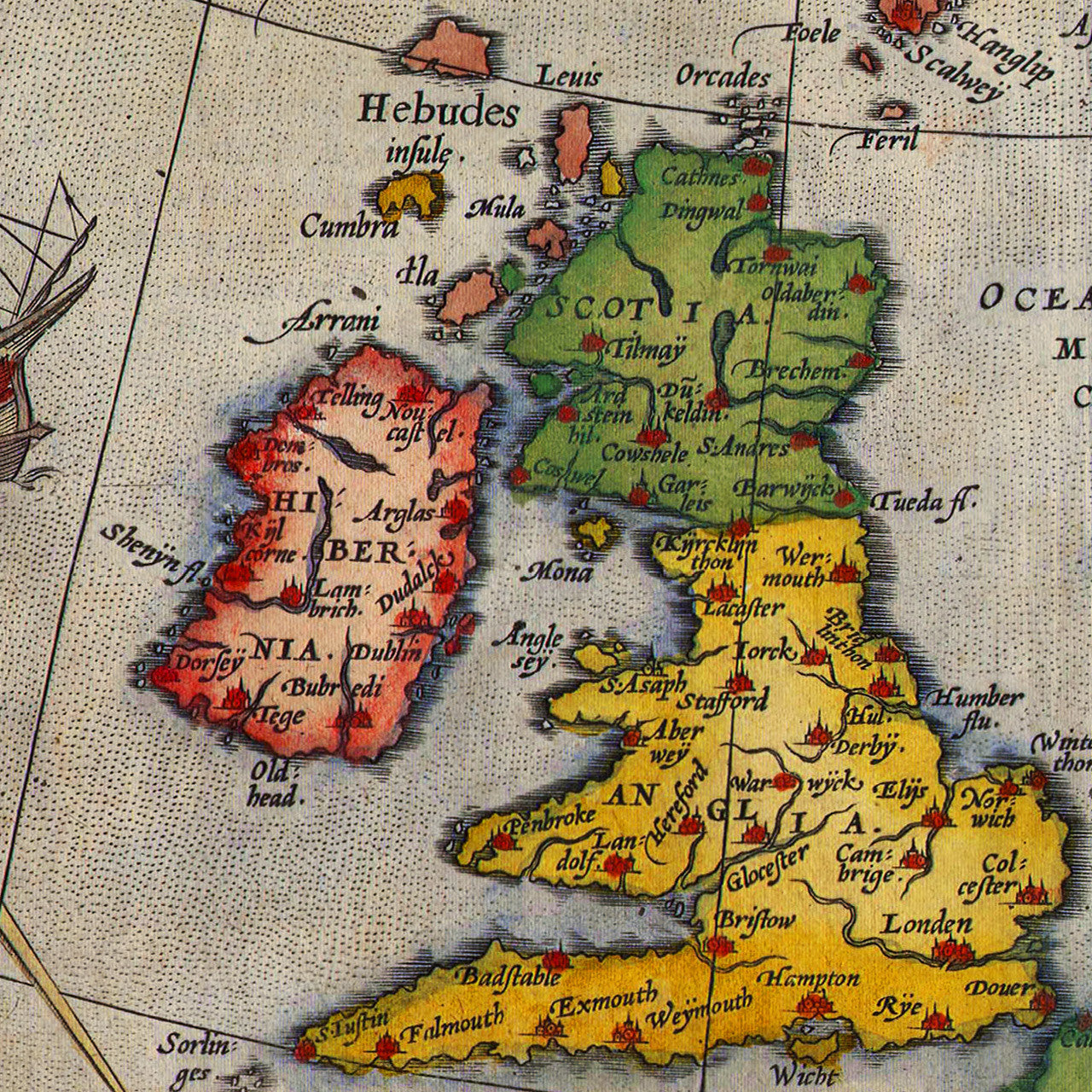
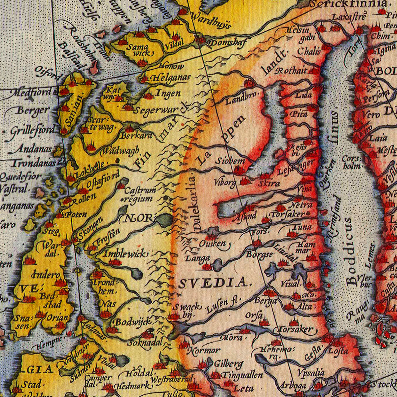
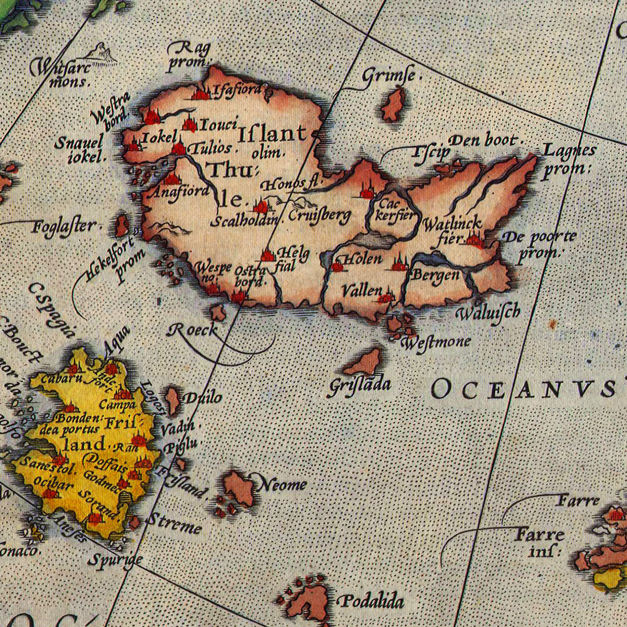
Septentrionalium Regionum Descrip is a 16th-century map of the North Atlantic and Arctic regions, with Scandinavia and parts of Northern Europe and Russia. Abraham Ortelius first published the map in 1570 as part of Theatrum Orbis Terrarum. The map was engraved by Frans Hogenberg, as was the rest of Ortelius’ famous atlas. This interesting early map of the North Atlantic contains several mythical islands: Hy-Brasil (Brasil, O’Brasil), Frisland (Frislant), Drogeo, Icaria, Groclant (Groclandt), St. Brendan’s Isle (S. Brandain), Podalida, etc., as well the Pigmei continent at the Arctic, believed to have been inhabited by pigmies.
• Septentrionalium Regionum Descrip., (Septentrionalivm Regionvm Descrip.), 1570, A. Ortelius
• Fine Art Premium Giclée (Gouttelette) Print (100% cotton 340 gsm fine art paper)
• Made in USA