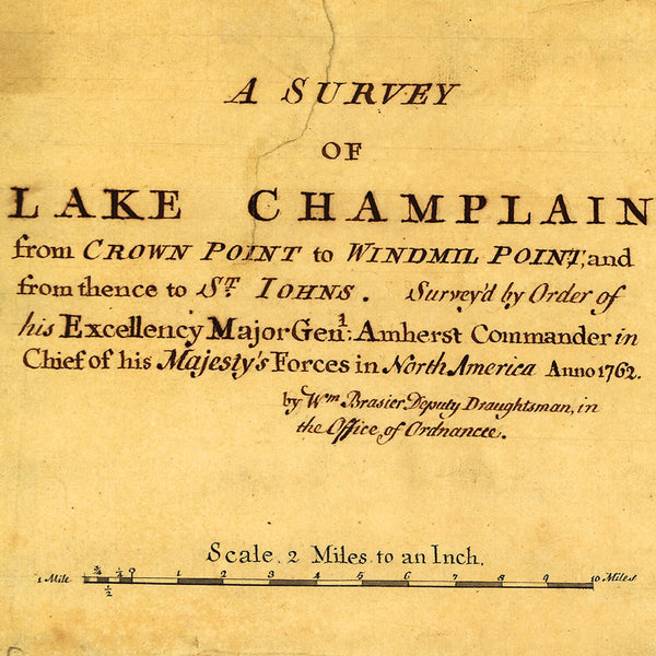
French and Indian War Era old manuscript map of Lake Champlain, surveyed and drawn by William Brassier in 1762. Covers the area between Crown Point, New York, and Windmill Point, Vermont, to Fort St. Johns (French Canadian name: Fort Saint-Jean, in Saint-Jean-sur-Richelieu), Quebec, Canada. Surveyed by order of Major General Amherst, Commander-in-Chief of the Forces. (A larger size copy of the map may be available upon request.)
• Hand drawn survey of Lake Champlain, New York, 1762, French & Indian War Era
• Fine Art Premium Giclée (Gouttelette) Print (100% cotton 340 gsm fine art paper)
• Made in USA


