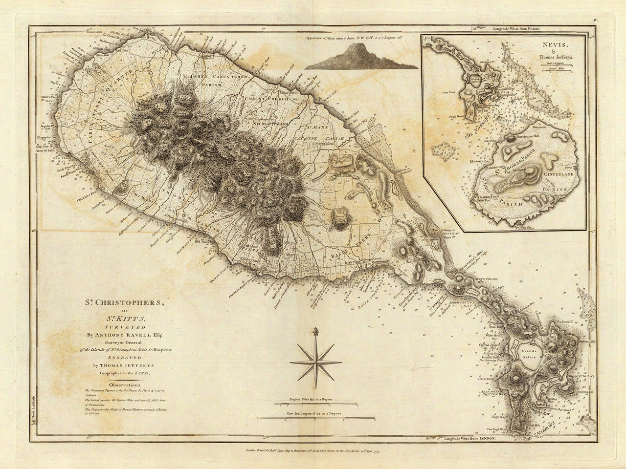
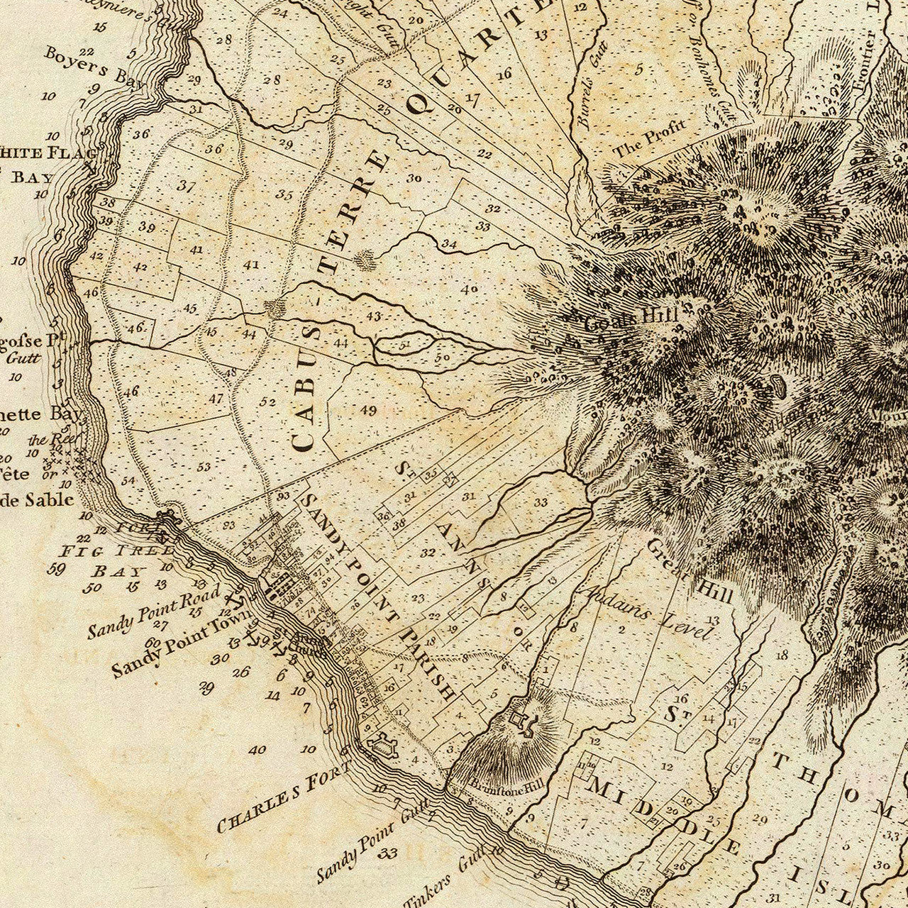
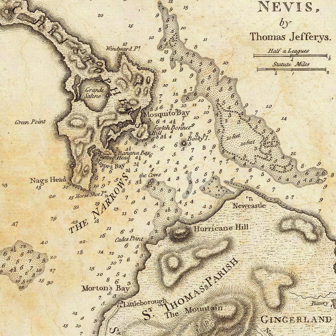
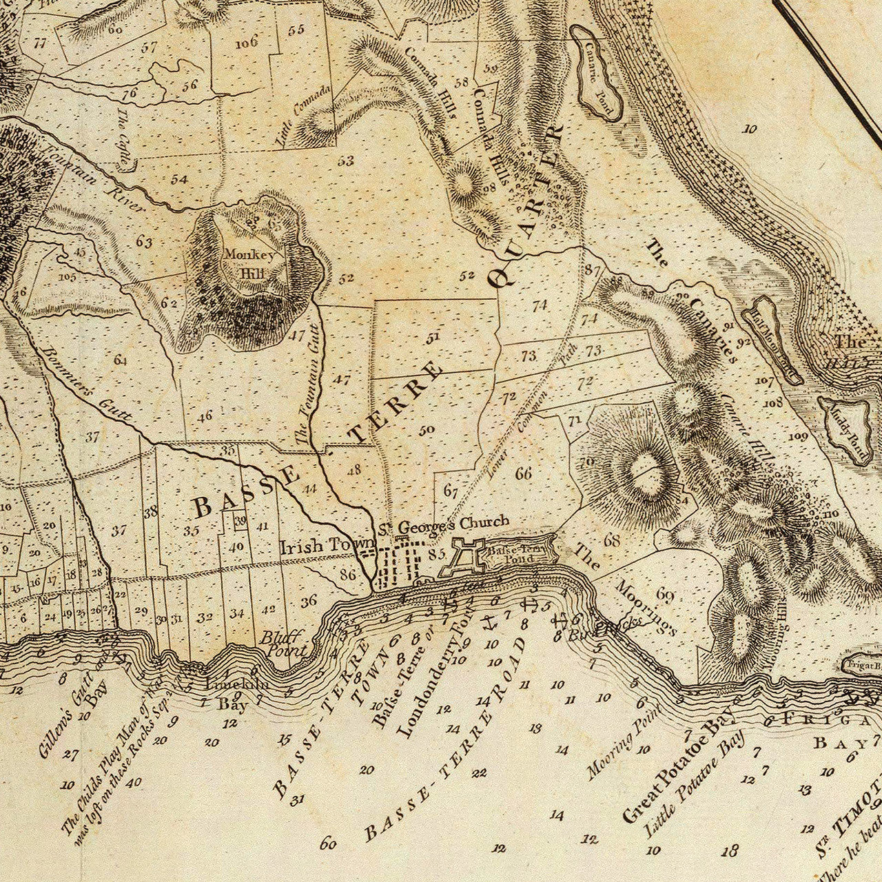
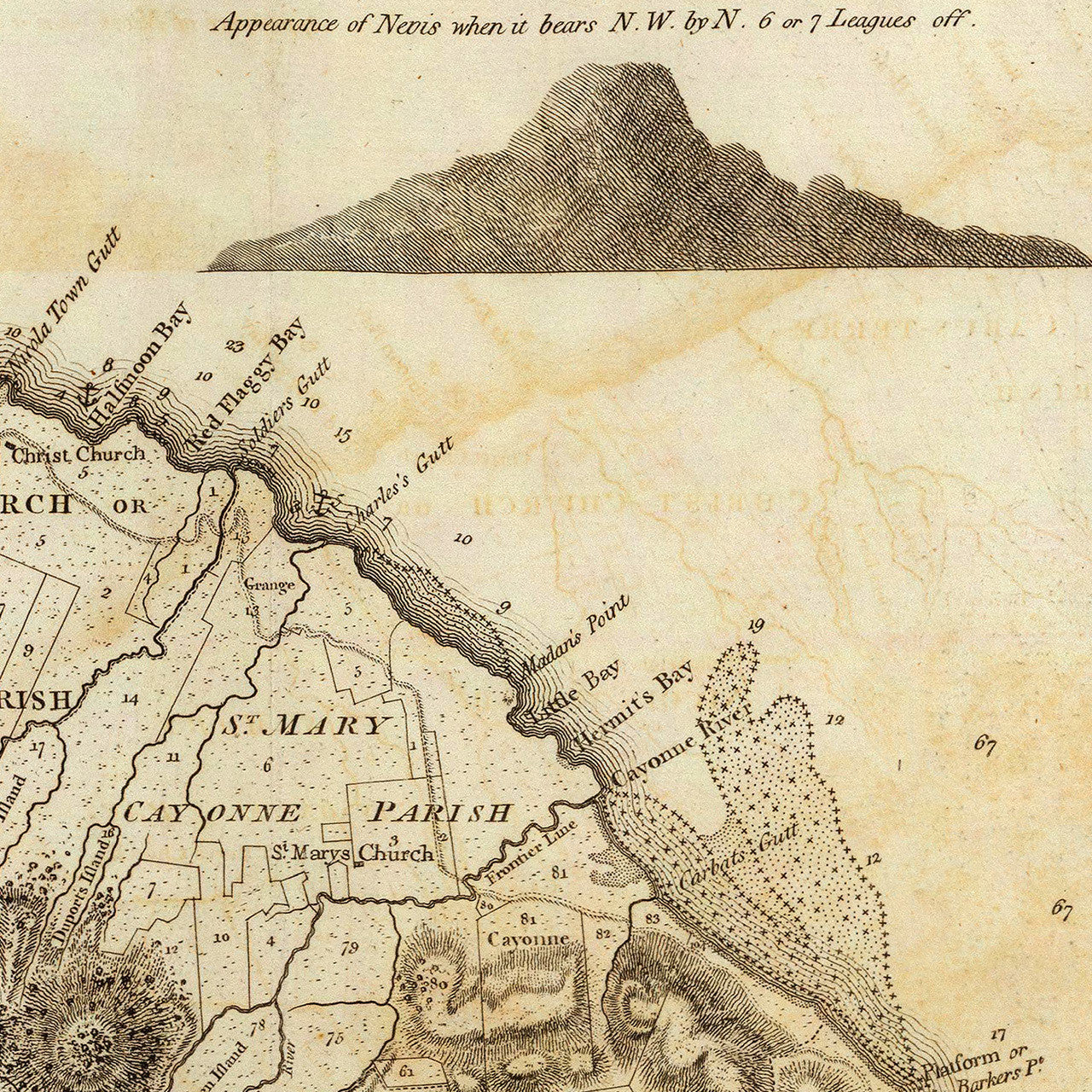

An eighteenth-century map of the islands of Saint Christopher (Saint Kitts) and Nevis. The map was surveyed and drawn by Anthony Ravell and engraved by Thomas Jefferys before 1771, and was first published by Sayer & Bennett in 1775 in London, as part of The West-India Atlas. The map title reads: St. Christophers, or St. Kitts, Surveyed by Anthony Ravell Esq. (Efqr.), Surveyor General of the Islands of St. Christophers, Nevis & Montserrat. Engraved by Thomas Jefferys Geographer to the King.
• 1775 map of the islands of St. Kitts (St. Christopher) and Nevis, Revolutionary War Era
• Fine Art Premium Giclée (Gouttelette) Print (100% cotton 340 gsm fine art paper)
• Made in USA