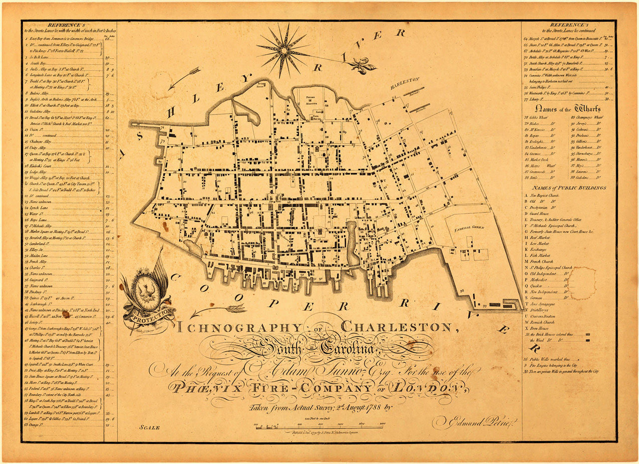
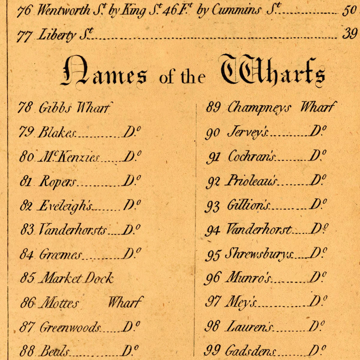
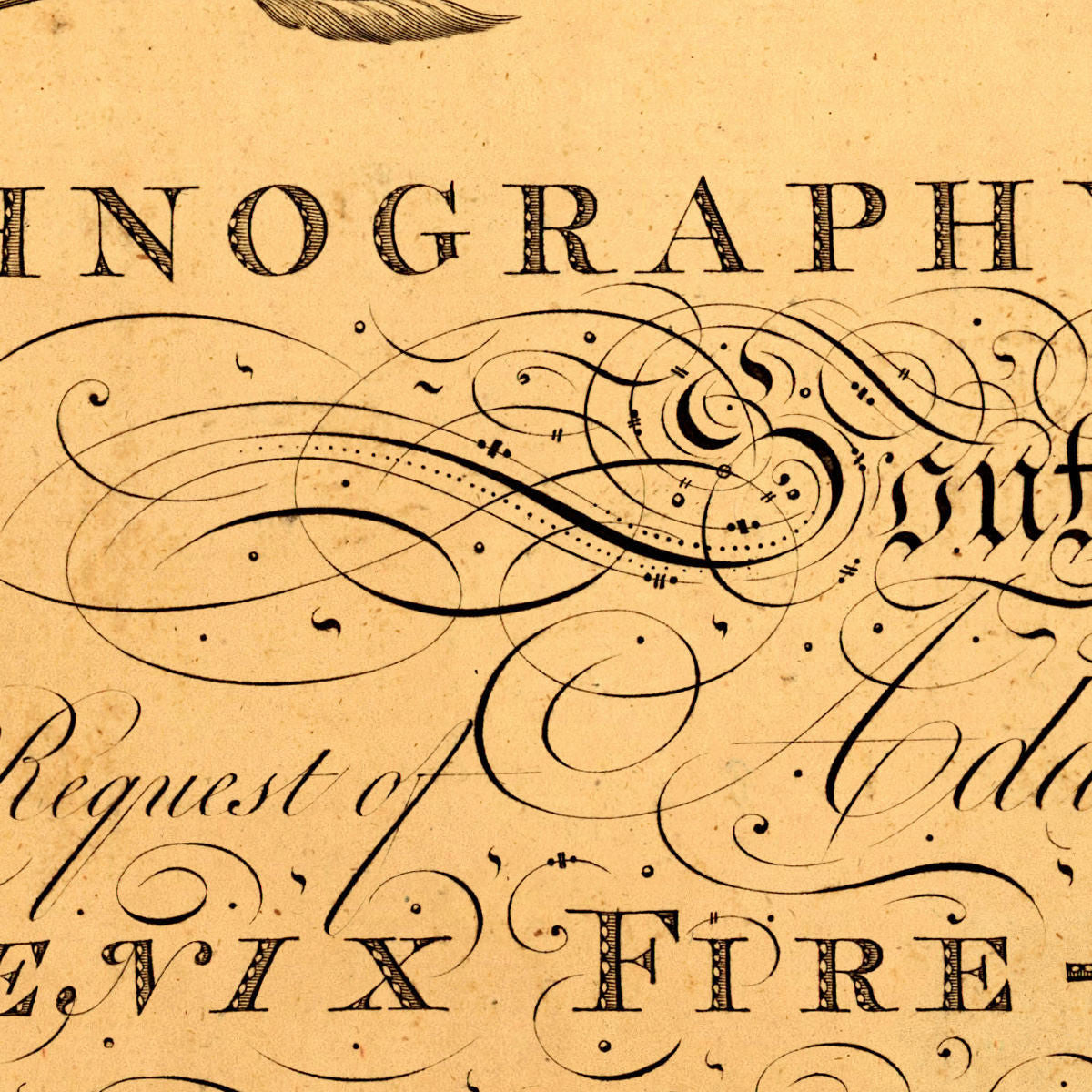
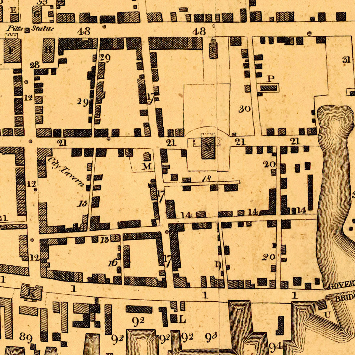
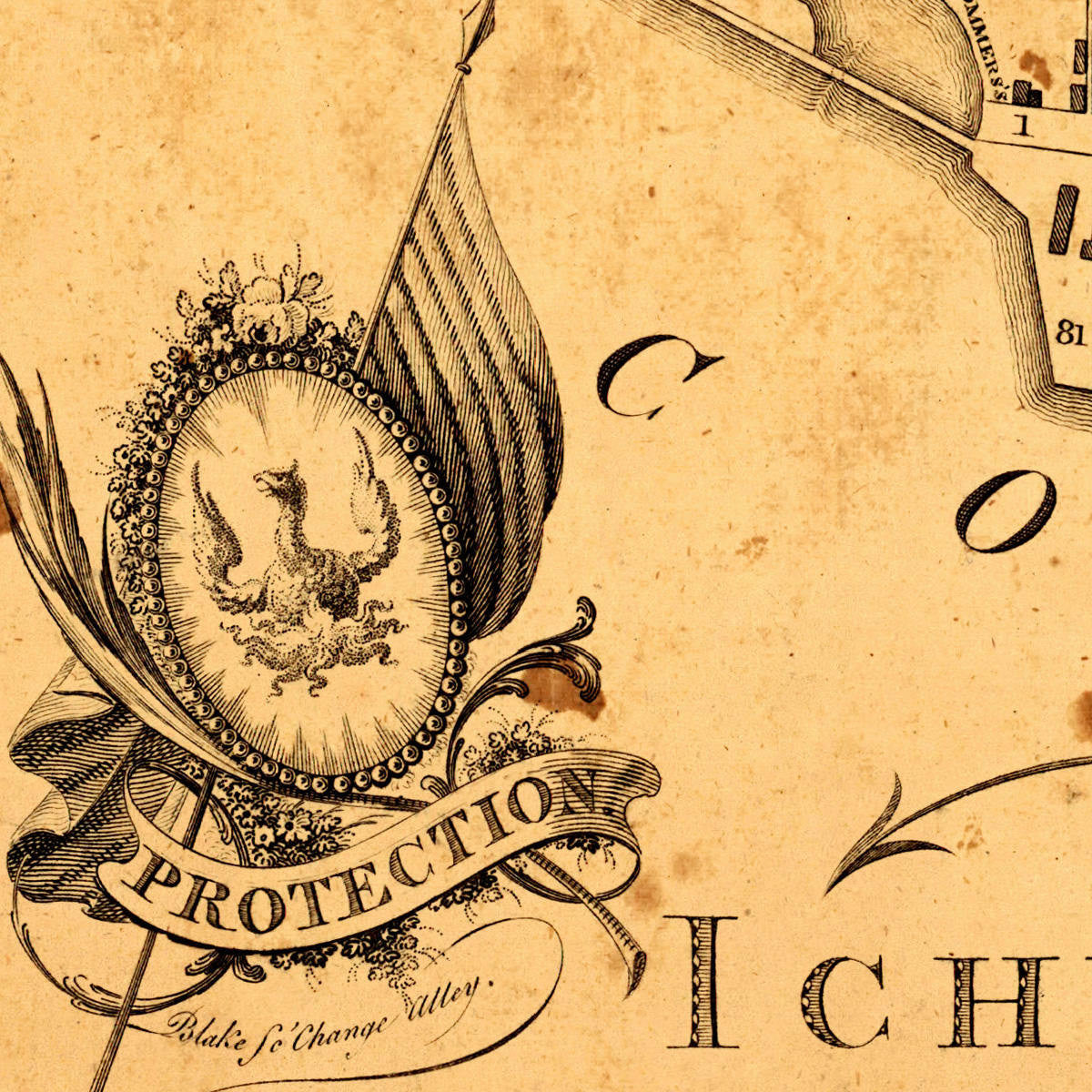

Ichnography of Charleston is one of the city’s most important historical maps. It is also the first printed fire map of any city in the world. The detailed city plan was surveyed and prepared by Edmund Petrie in 1788 for the Phoenix Insurance (Assurance) Company of London, and published in 1790. The map title reads: “Ichnography of Charleston, South Carolina, At the Request of Adam Sunno Esq. for the use of the Phoenix Fire-Company of London, Taken from Actual Survey, 2d August 1788 by Edmund Petrie / Published 1st Jan. 1790 by E Petrie No. 13 America Square”.
• Ichnography of Charleston, South Carolina, 18th-century city plan, 1788 (1790), E. Petrie
• Fine Art Premium Giclée (Gouttelette) Print (100% cotton 340 gsm fine art paper)
• Made in USA