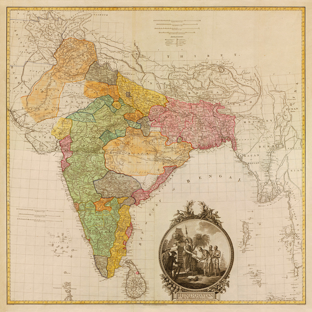

India ~ भारत ~ ভারত ~ భారతదేశం ~ Hindoostan ~ بھارت
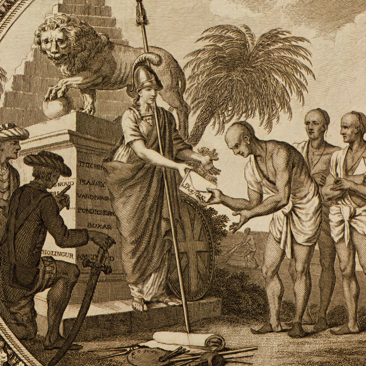
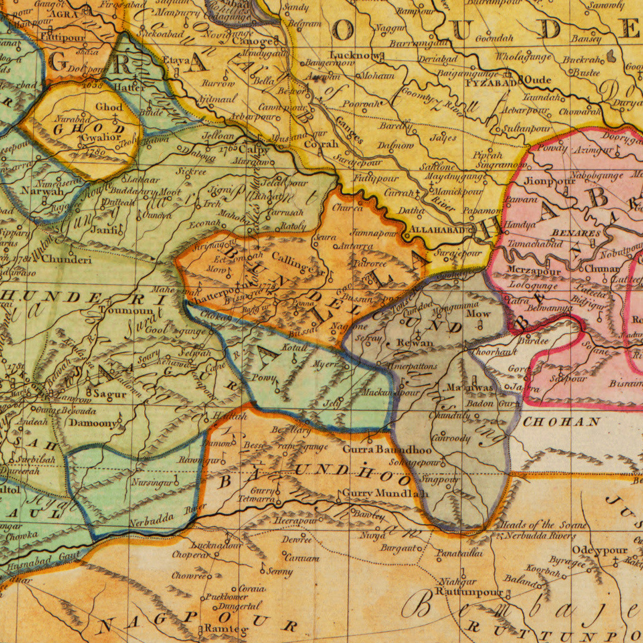
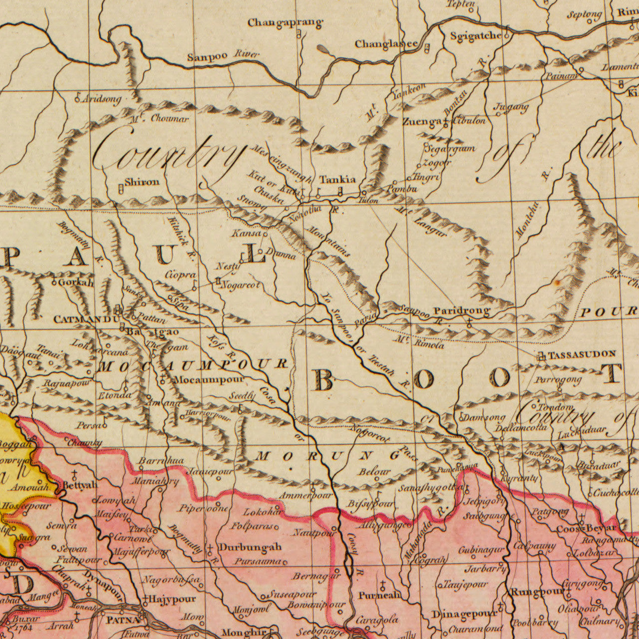
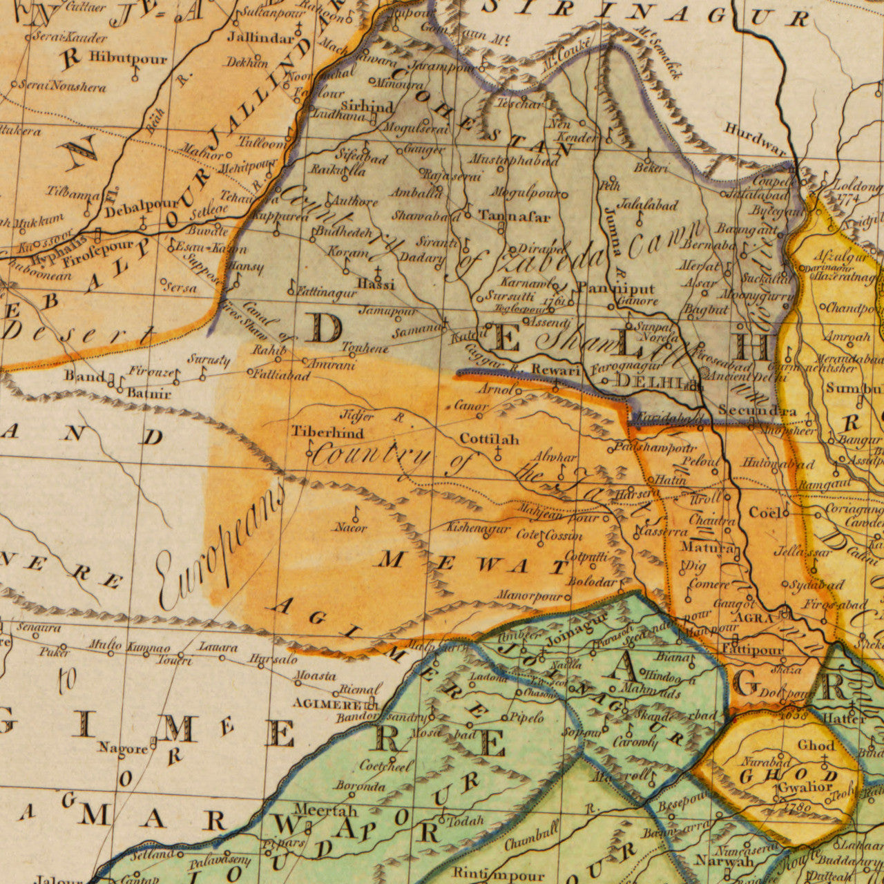
An eighteenth-century map of British India, depicting the Indian subcontinent, the Arabian Sea, parts of the Indian Ocean, and parts of South and Southeast Asia. It covers territories of modern-day India, Pakistan, Bangladesh, Bhutan, Nepal, Sri Lanka, the Maldives, Myanmar (Burma), parts of Thailand and Malaysia, and parts of the the Tibetan Plateau to the north. The map was engraved by J. Phillips, written by W. Harrison (Harrisson), and published by James Rennell, FRS (F.R.S.) in 1782.
• 18th-century British map of the Indian Subcontinent, entitled: Hindoostan, By J. Rennell F.R.S. 1782
• Fine Art Premium Giclée (Gouttelette) Print (100% cotton 340 gsm fine art paper)
• Made in USA
Customer Reviews
No reviews yet
Write a review