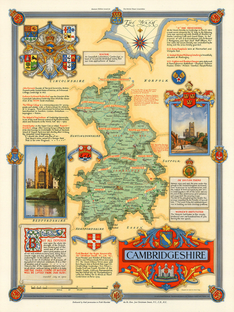
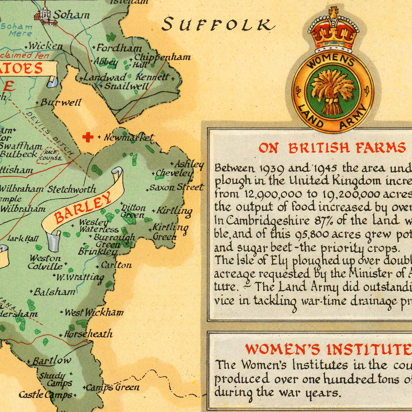
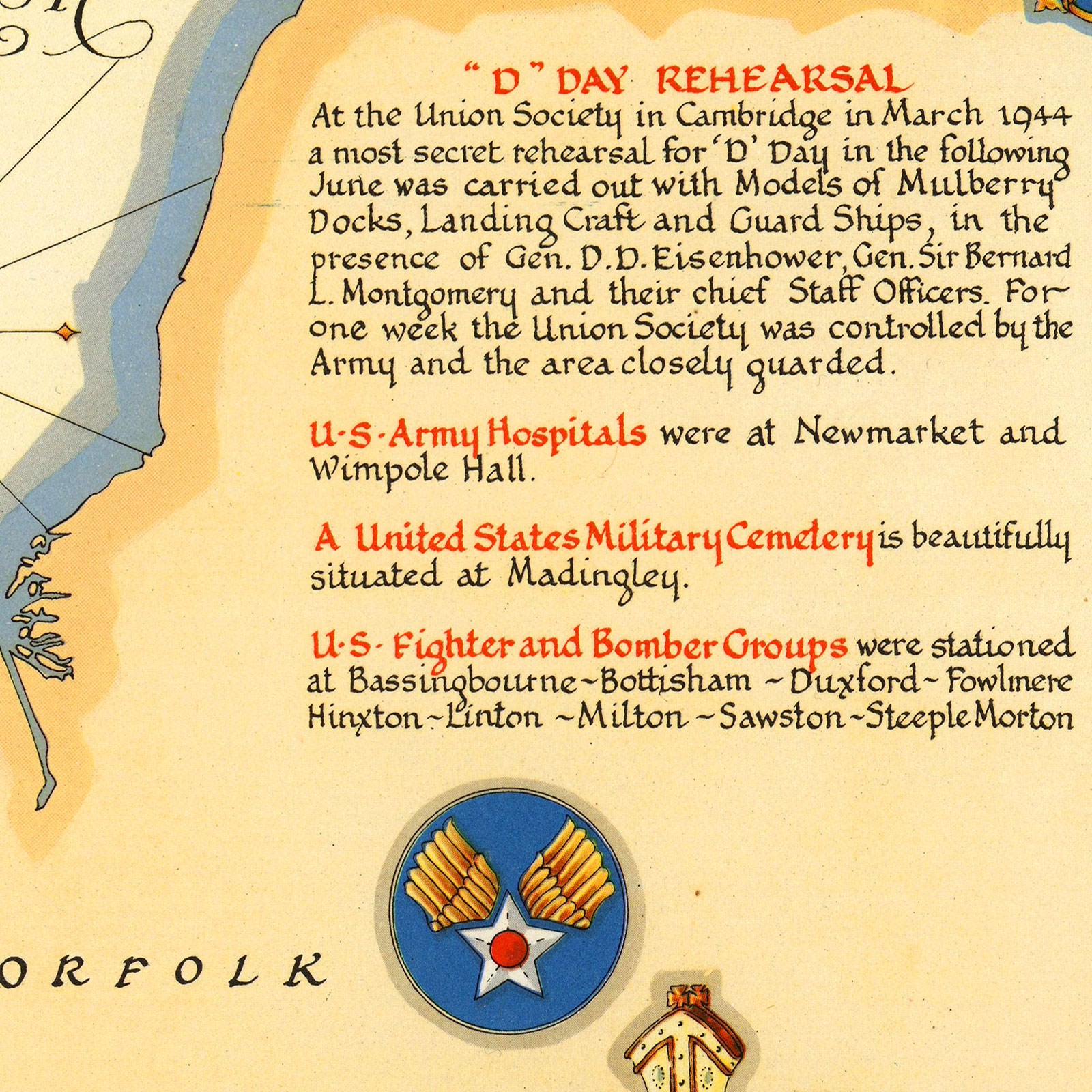

A striking pictorial map of Cambridgeshire, England, from the Second World War era. The map was designed and drawn by Ernest Clegg for the British Travel Association abroad. It was meant to celebrate the conclusion of the war and the rich heritage of the region. The layout features various coats of arms, and military insignia of units involved in the war effort. A vignette of King’s College Chapel (at Cambridge University), and a majestic view of the Ely Cathedral (See of Ely), are flanking the county map in the middle, which proudly displays local farming resources. The map also honours notable local residents and institutions, and distinguished graduates and fellows of the University of Cambridge. Amongst them are John Harvard — the founding namesake of Harvard University, and Professor Ernest Rutherford — the father of nuclear physics. An excerpt from Sir Winston Churchill’s speech on July 14, 1940, sits at the bottom left, across from the intricate title cartouche.
• Pictorial map of Cambridgeshire, England, WWII / post-WWII Era
• Fine Art Premium Giclée (Gouttelette) Print (100% cotton 340 gsm fine art paper)
• Made in USA