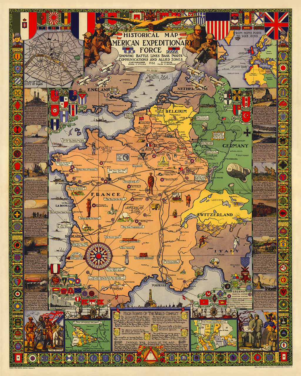
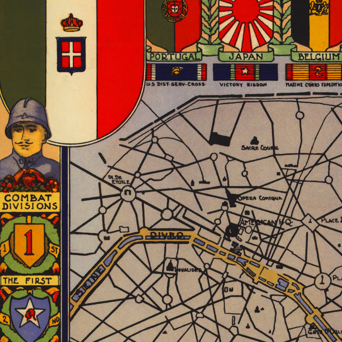
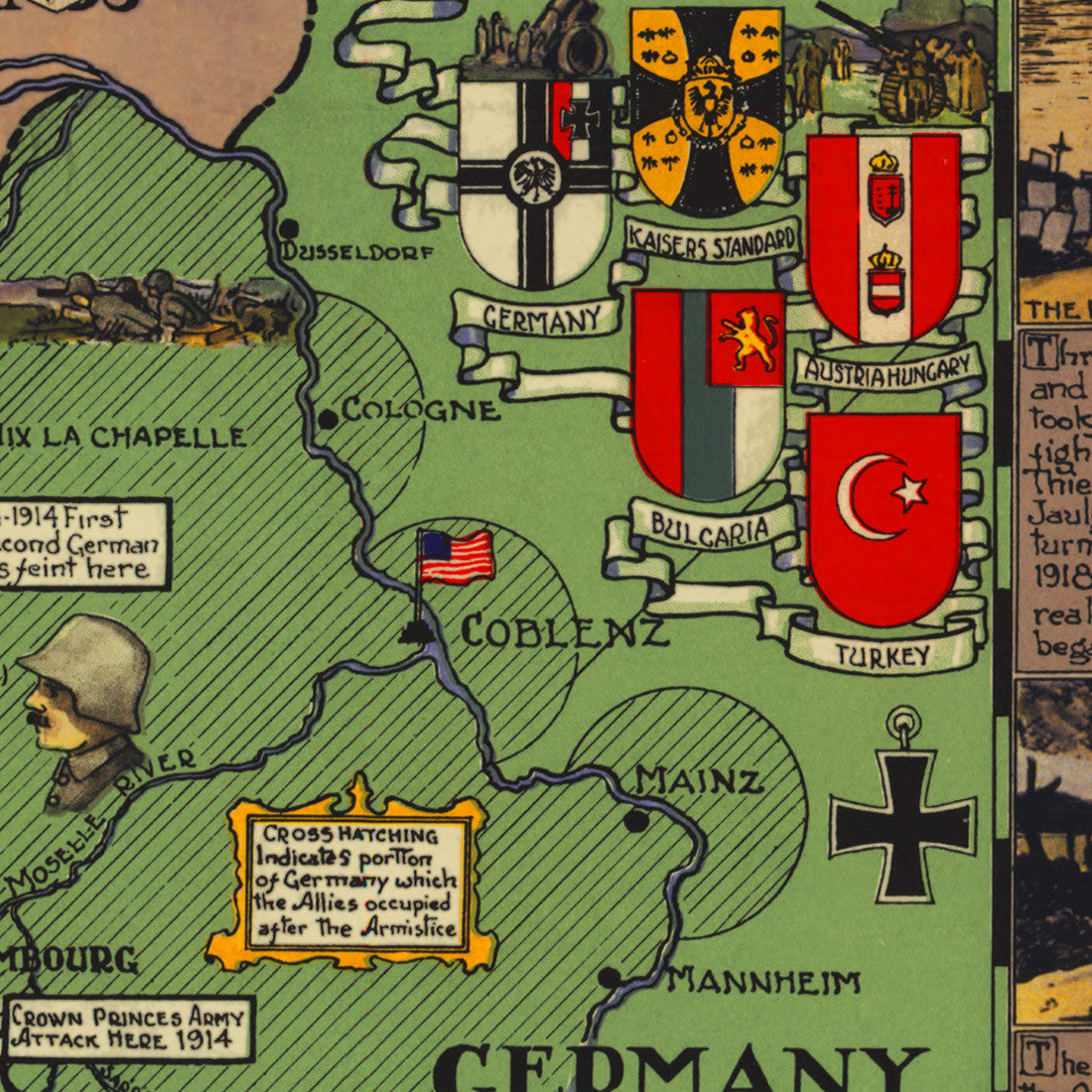
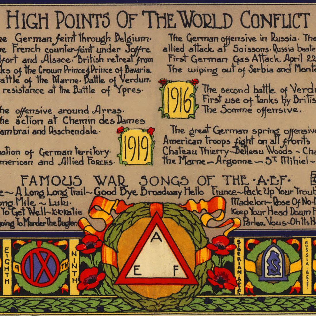
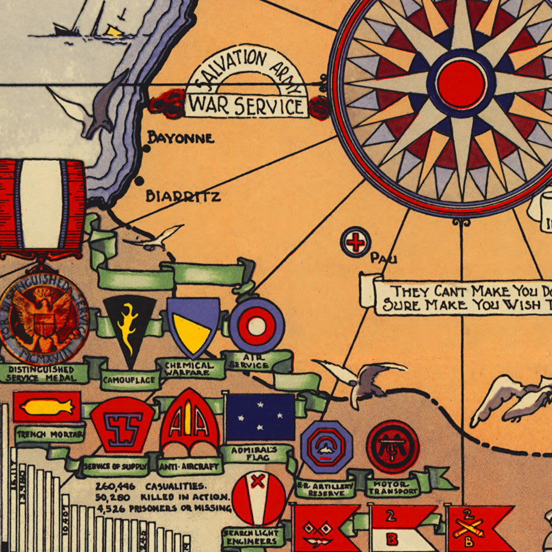

A 1932 map of France and Western Europe during World War I (1914–1918), “showing Battle Lines, Base Ports, Communications and Allied Zones”. This richly decorated pictorial map is dedicated to the American Expeditionary Forces (AEF), which was the US contingent sent to fight in Europe during the last year of WWI. The map contains vignettes with plans, troop movements, flags and military insignia, and textual historical chronology of the main events of the Great War. The border is adorned with insignia of the combat divisions.
• World War I pictorial map of France and parts of Western Europe, from 1932
• Title: Historical Map American Expeditionary Force WWI
• Fine Art Premium Giclée (Gouttelette) Print (100% cotton 340 gsm fine art paper)
• Made in USA