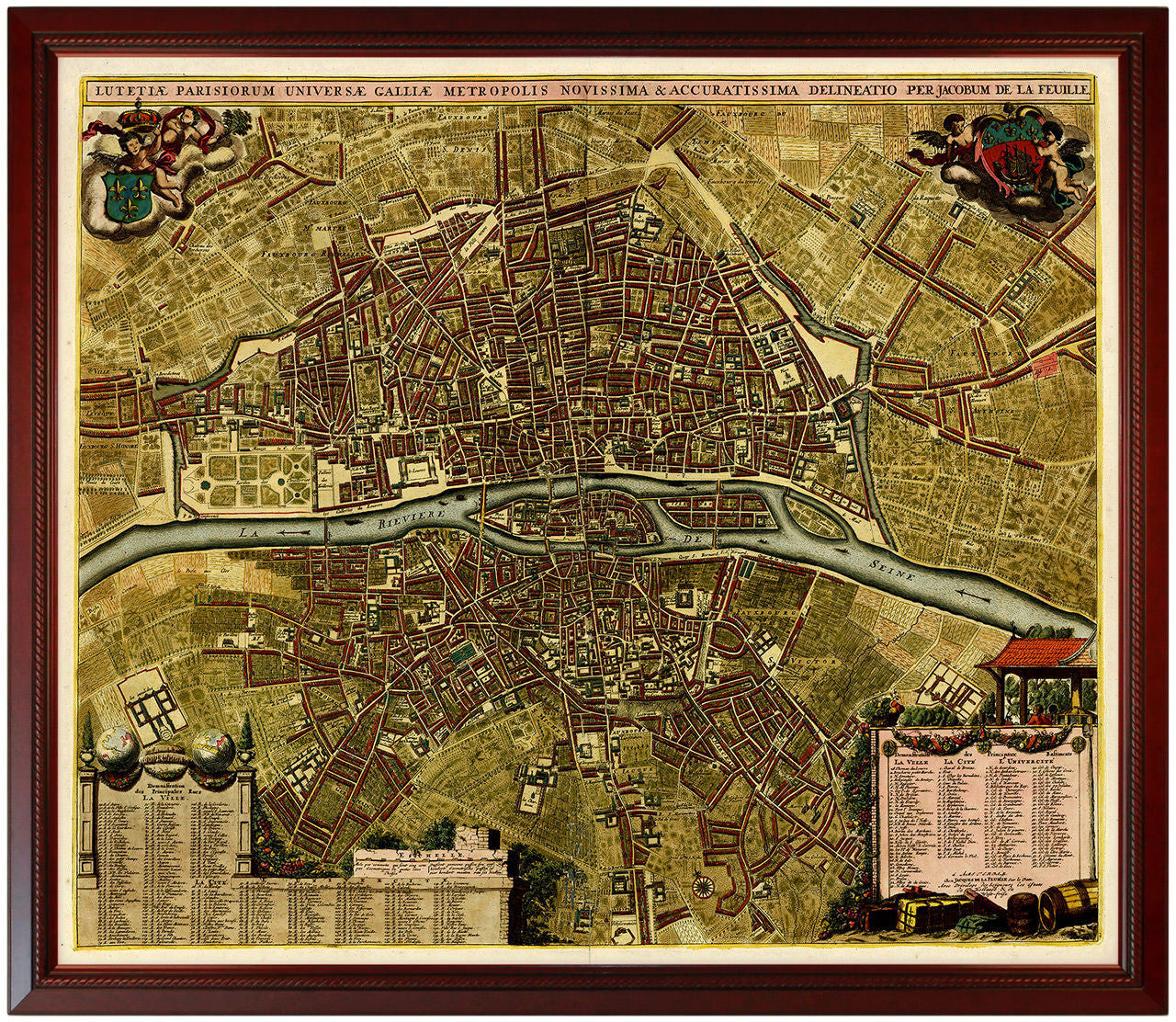
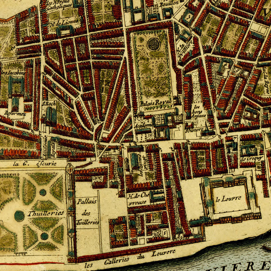
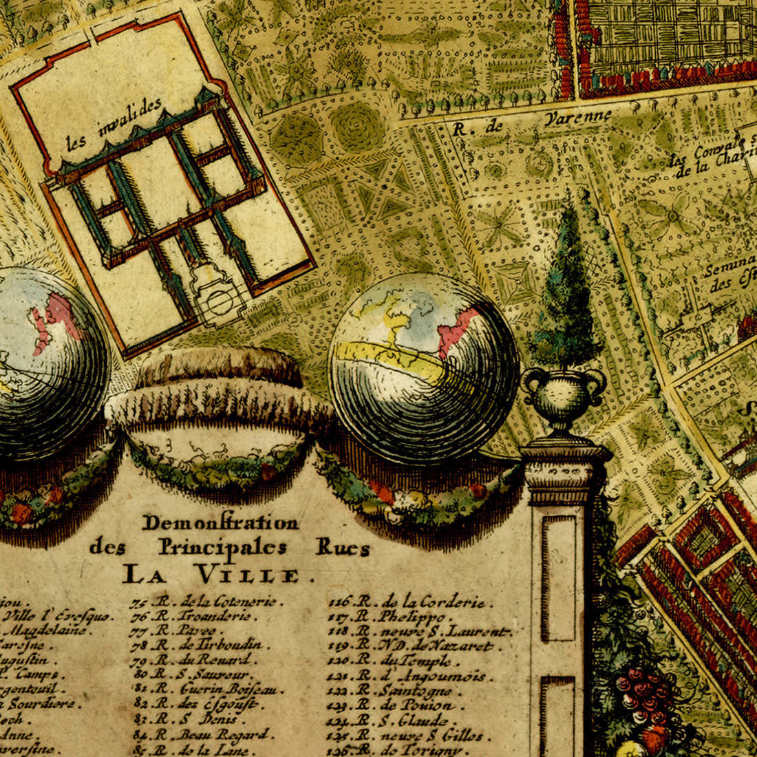
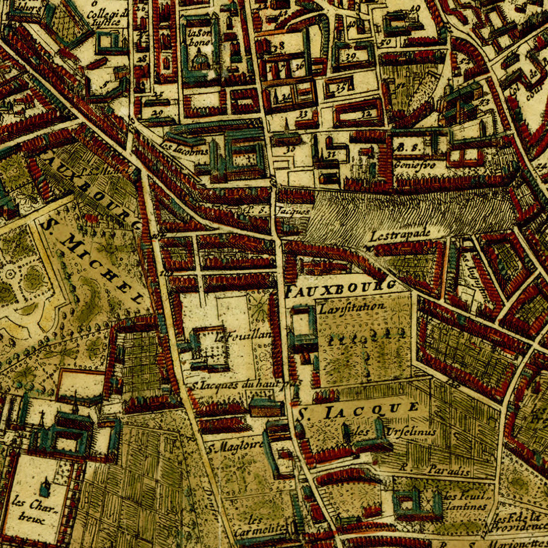
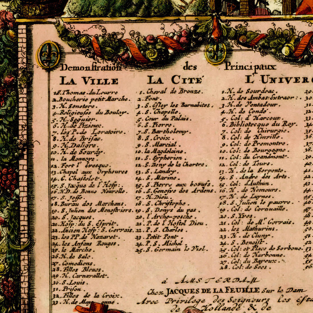

A late 17th-century map of Paris, Lutetiae Parisiorum Universae Galliae Metropolis, very popular in that period. The plan was first drawn by Albert Jouvin de Rochefort around 1676 and later reissued by De Ram, De Witt, Danckerts, Allard, De La Feuille, and Van der Aa. – The map was very popular indeed. The current copy is a fine art premium giclée reproduction of the version published by Jacques (Jacobo) de la Feuille between 1685 and 1700. (This item is also available unframed in our collection.)
• Highly detailed city plan of Paris, ca. 1690 (1690–1700), by Jacques de la Feuille, after Rochefort (framed)
• Title: Lutetiae Parisiorum Universae Galliae Metropolis Novissima & Accuratissima Delineatio
• Fine Art Premium Giclée (Gouttelette) Print (100% cotton 340 gsm fine art paper)
• Custom-framed: mahogany wooden frame, backing, wires; ready to hang
• Made in USA