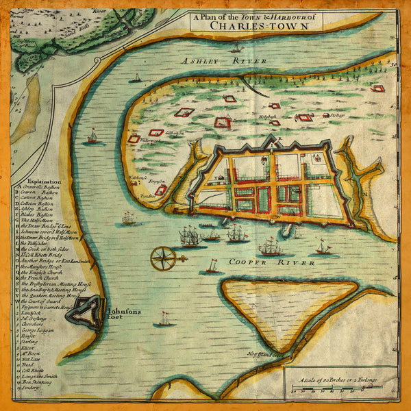
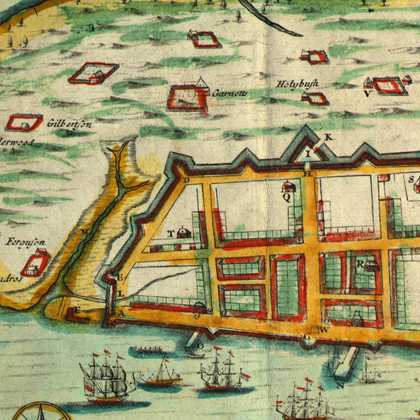
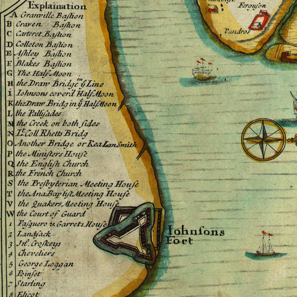
A Colonial-era detailed map of Charleston and the area around it, from the early 1700s. The plan was a part of a compilation by Edward Crisp from 1711. It shows the Ashley and the Cooper Rivers, Fort Johnson, Charleston with fortifications, and a key with 36 locations. Title: “A Plan of the Town & Harbour of Charles-Town”.
• Colonial-era small and detailed plan of Charleston, South Carolina, ca. 1711, E. Crisp
• Fine Art Premium Giclée Print (100% cotton 340 gsm textured fine art paper)
• Made in USA


