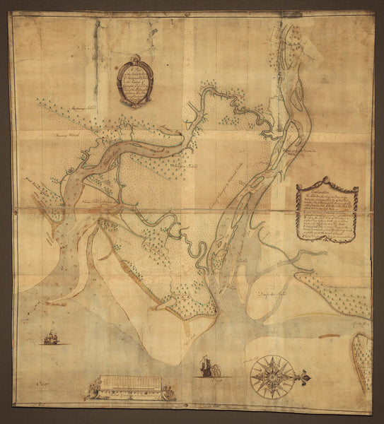
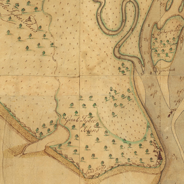
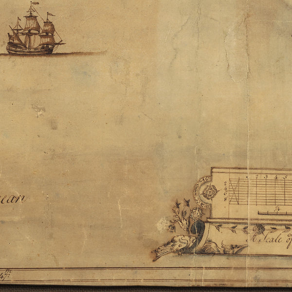
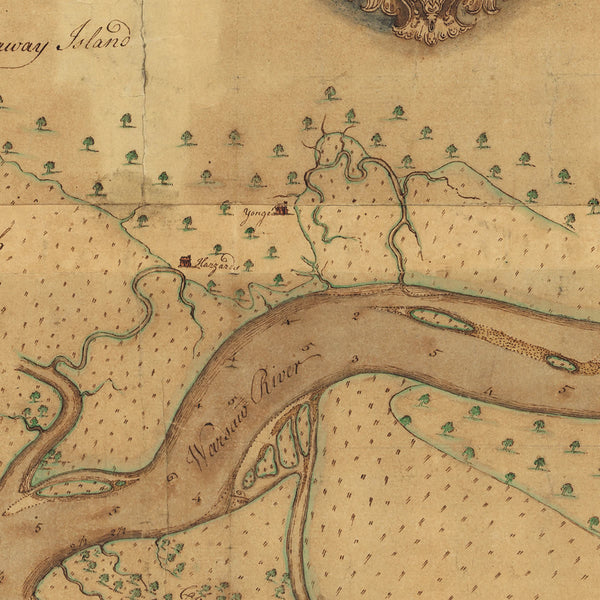
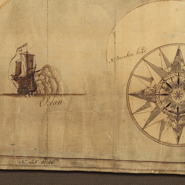
An early detailed manuscript map of Savannah, Georgia, and surrounding areas. Savannah is drawn in red ink at the top of the layout. The map covers the area east of Savannah towards the coast. Clearly are marked the Savannah River, Warsaw River (the Wilmington River), Great Tybee Island, Little Tybee Island, Wilmington Island, Whitemarsh Island, Hutchinsons (Hutchinson) Island, etc., as well as marshes, sounds, banks, land parcels, etc. A title cartouche reads: “A plan of the Inlets & Rivers of Savannah & Warsaw in the Province of Georgia. Performed by order of the President & Assistants this 1st June Ann. Dom. 1751 pr. Henry Yonge Surveyor”. Another cartouche contains explanation notes. Hand-drawn illustrations of ships, a compass rose, and an ornate scale adorn the bottom section of the map. Henry Yonge, who surveyed and drew the map by hand in multiple colored inks, oriented it with West at the top.
• An early manuscript map of Savannah, Georgia, and surrounding areas, 1751, Henry Yonge (watercolor, ink)
• Fine Art Premium Giclée (Gouttelette) Print (100% cotton 340 gsm watercolor textured fine art paper)
• Made in USA

