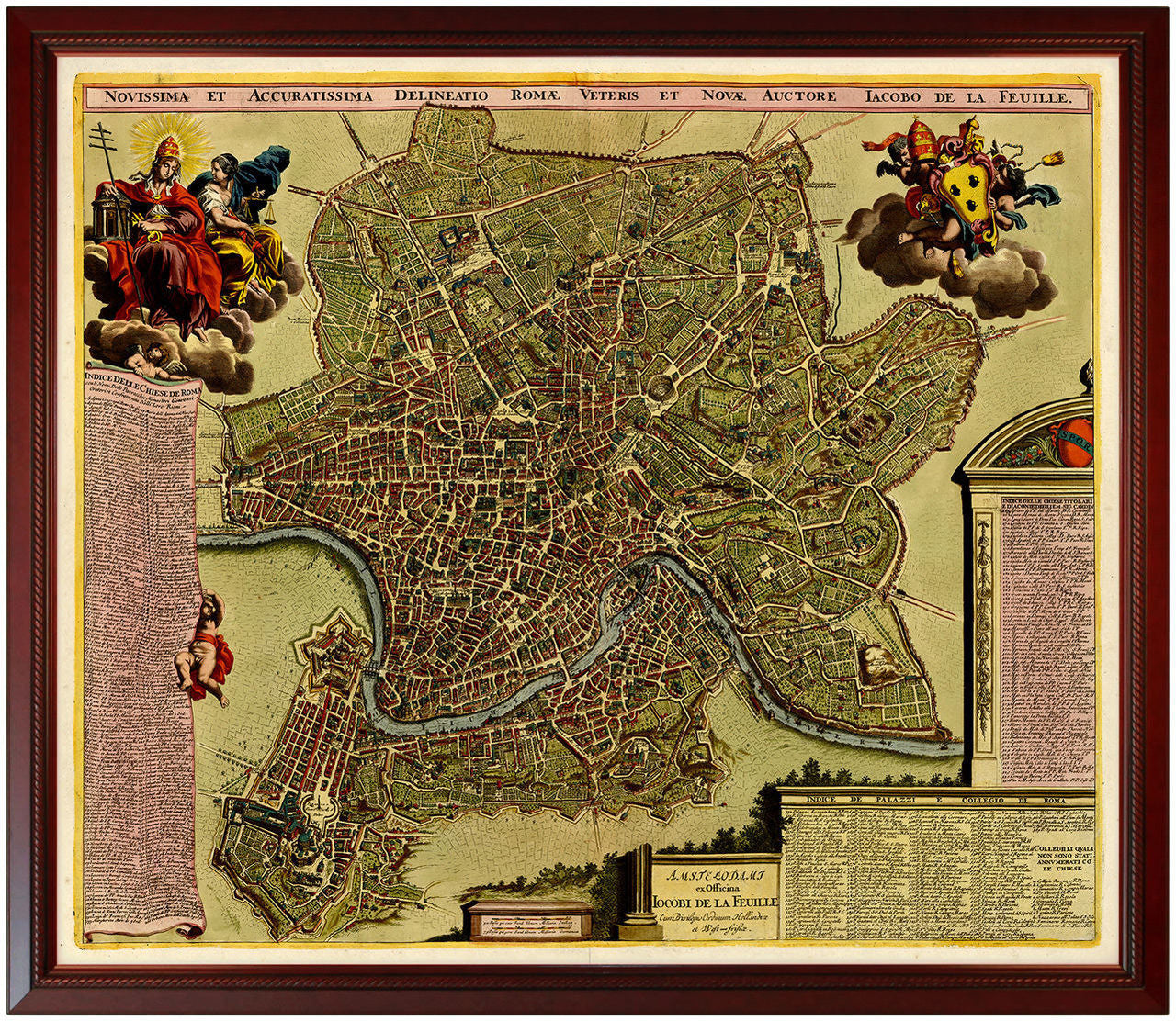
Rome, 1690, Roma Novissima & Accuratissima, Falda, Feuille, Framed City Plan
Brand: Battlemaps.us

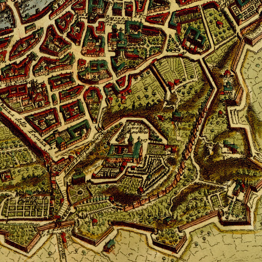
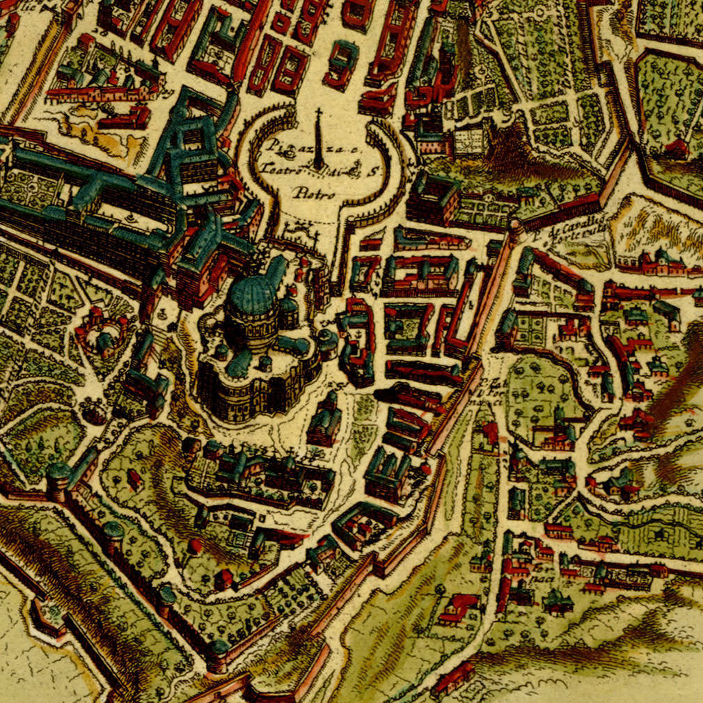
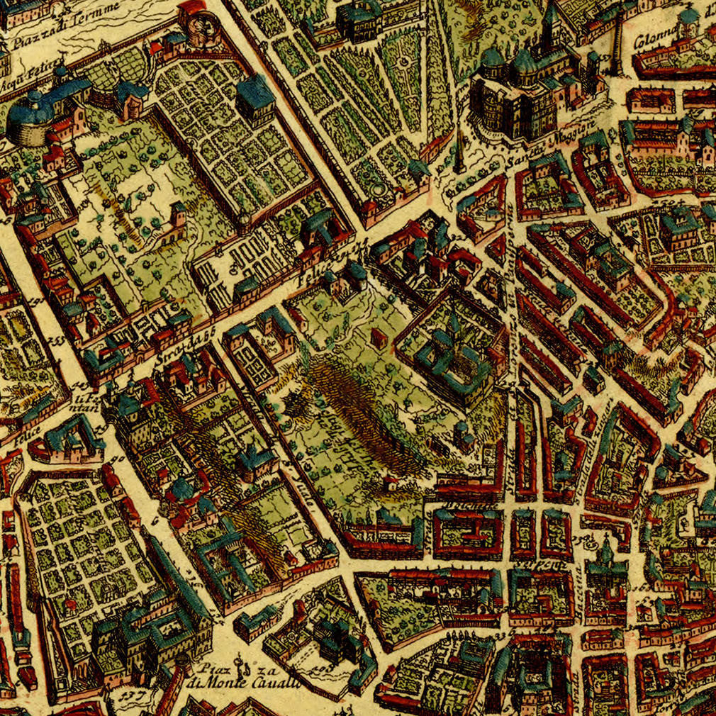
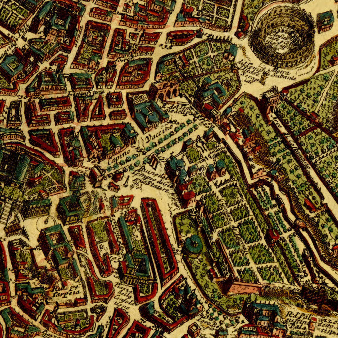
A late 17th-century map of Rome, based on Giovanni Battista Falda’s original plate of Novissima et Accuratissima Delineatio Romae Veteris, which was later reissued by De Ram, Allard, De la Feuille, and Van der Aa. This is Jacques (Iacobo) de la Feuille’s rendition of the famous city plan. It shows a great amount of detail of landmarks, streets, parks, piazzas, churches, palaces, public and private buildings, bridges and gates. The Vatican is shown in the foreground in the lower left area. There is also a slew of indexed and legible information about Rome, contained in the tables along the sides with legends and key to 464 locations. Two sizable cartouches adorn the top corners, with the coat of arms of Pope Innocentius XII and cherubim. (This item is available unframed in our collection.)
• Highly detailed map of Rome, Italy, ca. 1690, Jacques de la Feuille, after Falda (framed)
• Fine Art Premium Giclée (Gouttelette) Print (100% cotton 340 gsm fine art paper)
• Custom-framed: mahogany wooden frame, backing, wires; ready to hang
• Made in USA