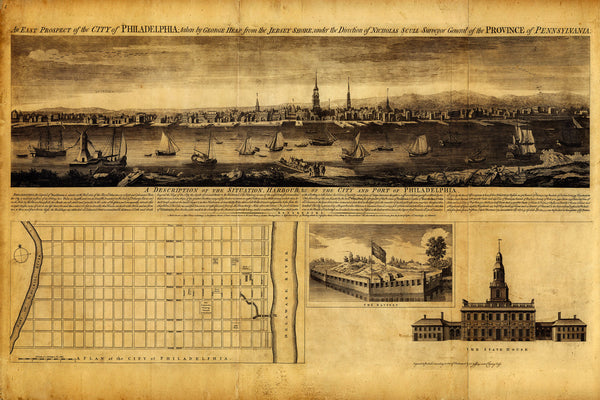
A mid-18th century plan and view of the City of Philadelphia (East prospect), seen from the Jersey shore. The map contains insets of Fort Mifflin, Pennsylvania State House, and a city plan — an attractive piece of Philadelphian history. Map title: An East Prospect of the city of Philadelphia; taken by George Heap from the Jersey Shore, under the direction of Nicholas Scull, Surveyor General of the Province of Pennsylvania.
• Historical map/view of Philadelphia, Harbour, and State House (Independence Hall), 1753
• Fine Art Premium Giclée (Gouttelette) Print (100% cotton 340 gsm fine art paper)
• Made in USA


