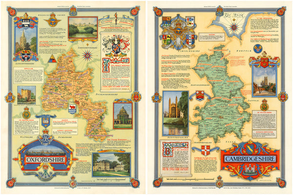
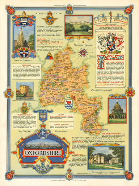
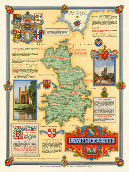
A set of two remarkable pictorial maps of Oxfordshire and Cambridgeshire from the Second World War era. The maps were designed to commemorate the conclusion of the war and to celebrate the rich heritage of the two distinguished English counties. Both layouts feature various military insignia of units involved in the war effort. The maps also show numerous places of interest, people of distinction, and facts about the local economies of the regions. The maps were part of a set drawn by Ernest Clegg for the British Travel Association to be used overseas. (Both maps are also available as separate items in our collection.)
• Oxfordshire & Cambridgeshire, set of two pictorial historical maps, WWII Era
• Fine Art Premium Giclée (Gouttelette) Print (100% cotton 340 gsm fine art paper)
• Size of single map: 24” x 32” / 61 x 81 cm
• Size of set: 48” x 32” / 122 x 81 cm


