North America & Atlantic, 1928, Charles Lindbergh’s Flights, Commemorative Map
Brand: Battlemaps.us

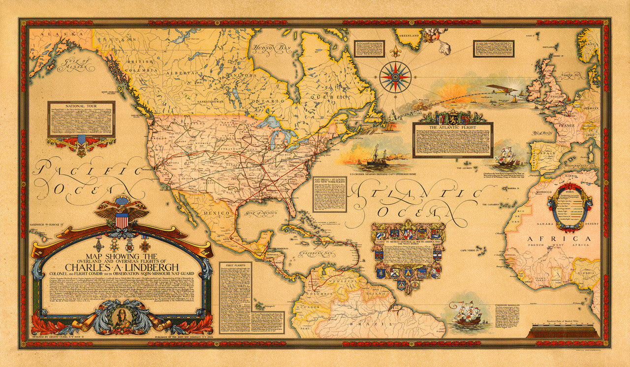
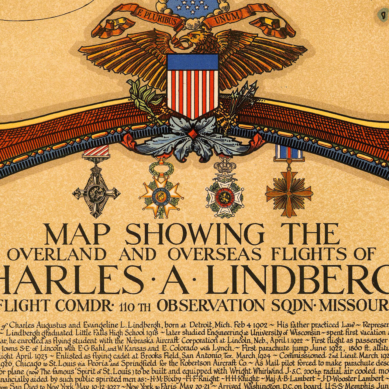
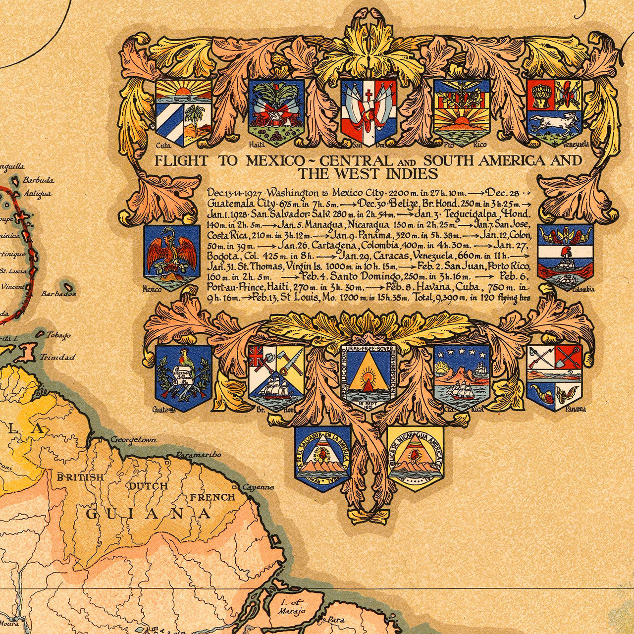
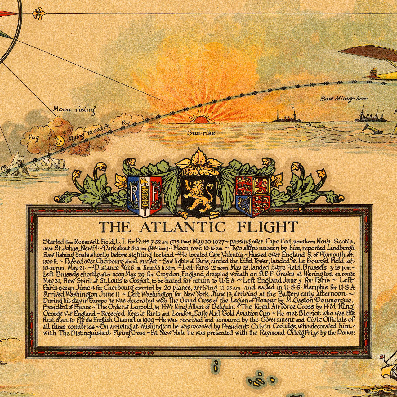
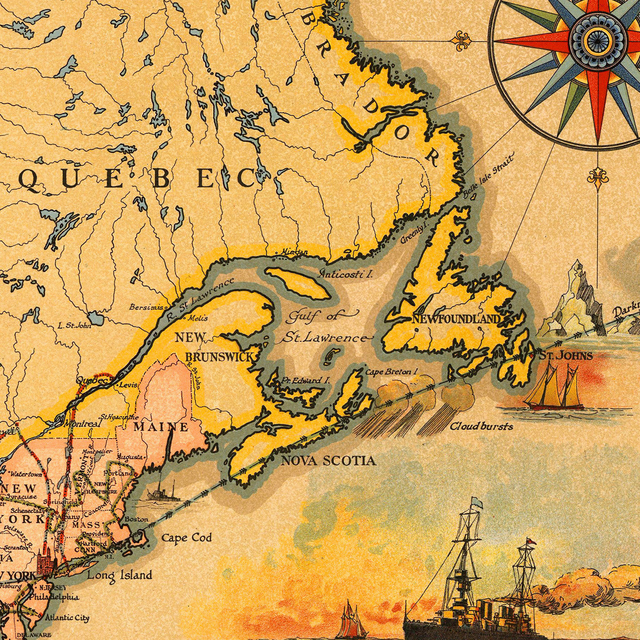
This expansive and visually striking pictorial map is a decorative celebration of the early accomplishments of American aviator Charles Augustus Lindbergh. Lindbergh was the first person to complete a nonstop solo flight across the Atlantic on May 20-21, 1927. He flew his single-engine Ryan NYP plane Spirit of St. Louis from Roosevelt Field, L.I., New York, to Le Bourget Airport in Paris, where he landed 33.5 hours later. The map entitled, “Map Showing The Overland and Overseas Flights of Charles A. Lindbergh”, features cartouches, illustrations and insets, containing detailed account of events. The map, spanning from the Pacific through North and South America and the Atlantic, to Western Europe and Western Africa, was drawn and designed by Ernest Clegg, one of the all-time best in the genre. (Full map title reads: Map Showing The Overland and Overseas Flights of Charles A. Lindbergh, Colonel and Flight Comdr. 110th Observation Sqdn. Missouri Nat. Guard)
• Decorative commemorative map of Charles Lindbergh’s flights, 1928, Ernest Clegg
• Fine Art Premium Giclée (Gouttelette) Print (100% cotton 340 gsm textured fine art paper)
• Made in USA