 "Pin It")
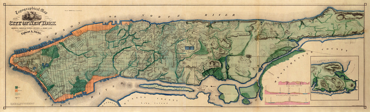
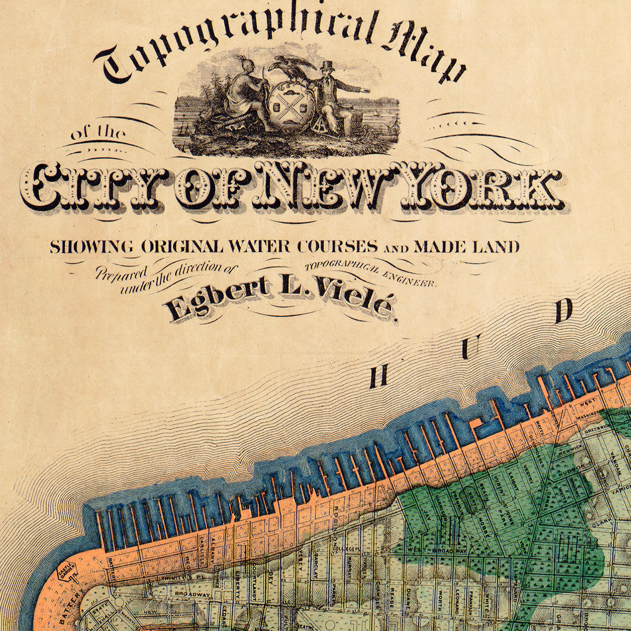
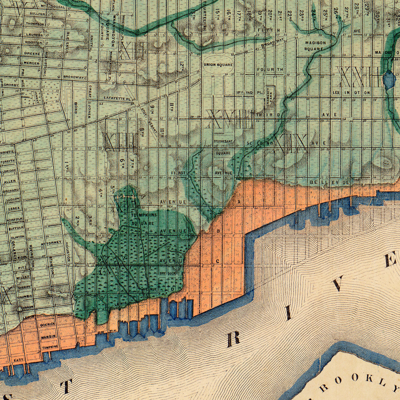
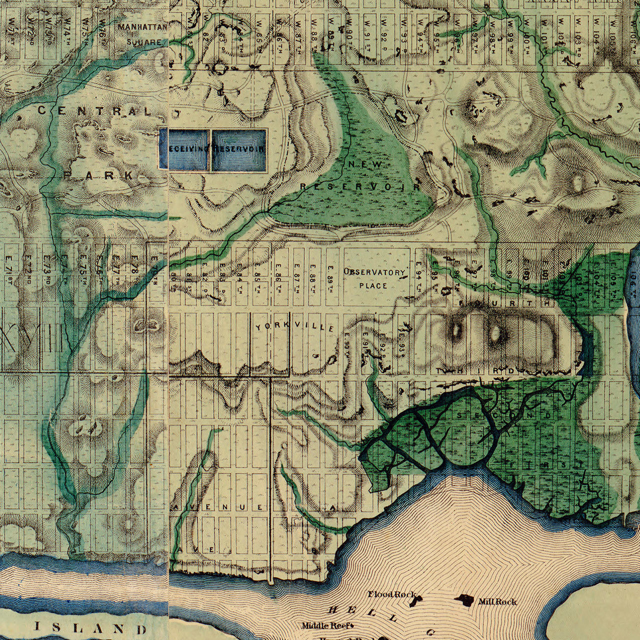
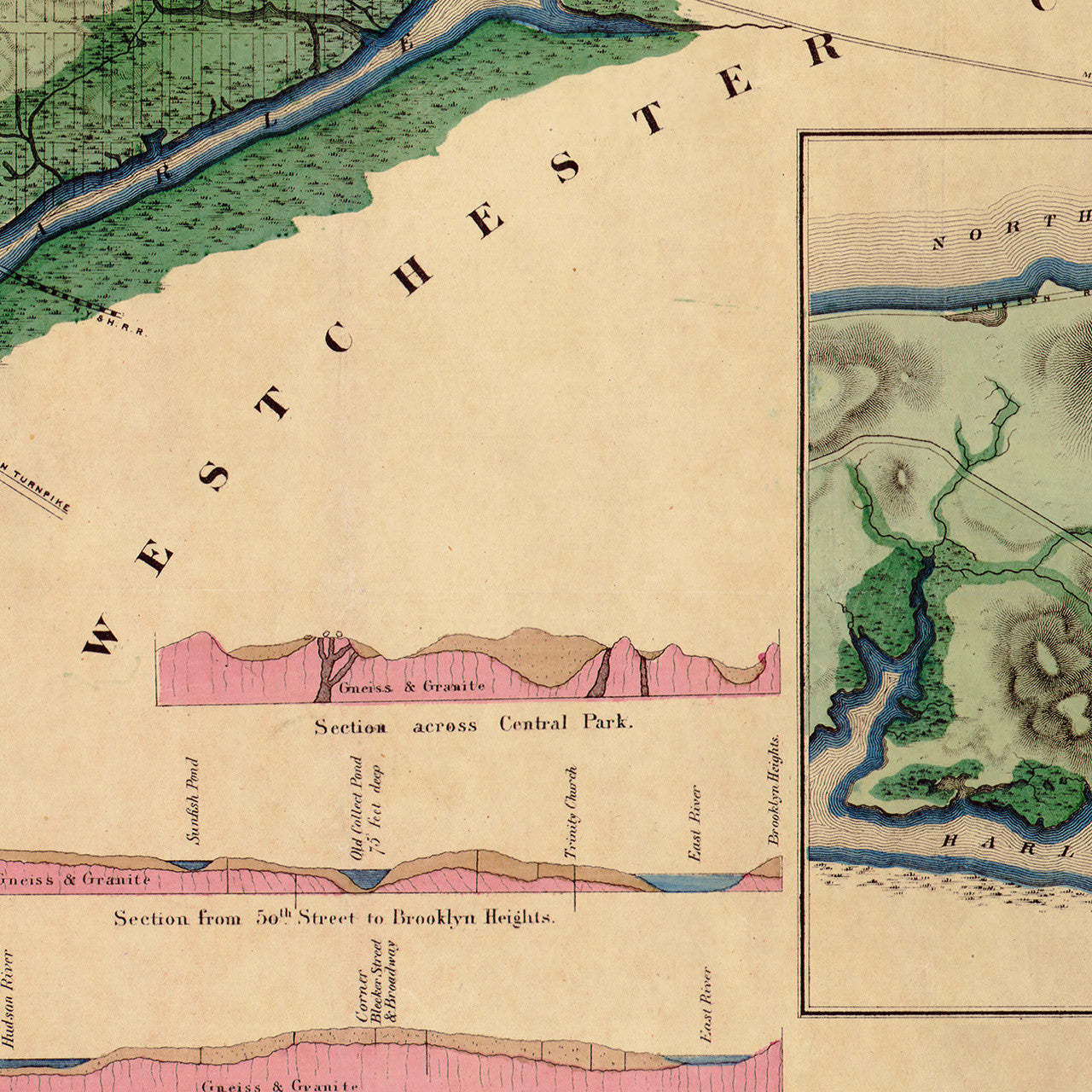
Egbert L. Viele’s 1865 Topographical Map of the City of New York, Showing Original Water Courses and Made Land, is one of the most iconic maps of New York. It is a variation of Viele’s Sanitary & Topographical Map of the City and Island of New York, from the same year. Viele’s map features New York’s waterways, streams, marshes, and coastline, as well as the famous city grid. Egbert L. Viele was a civil engineer who later became the Parks Commissioner of New York City. The map is commonly referred to as “the Viele Map”. Our faithfully restored reproduction is carefully remastered in two easy-to-frame sizes.
• (Sanitary &) Topographical Map of the City of New York, 1865, Egbert L. Vielé
• Fine Art Premium Giclée (Gouttelette) Print (100% cotton 340 gsm textured fine art paper)
• Made in USA