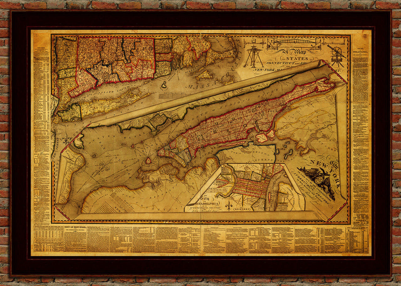
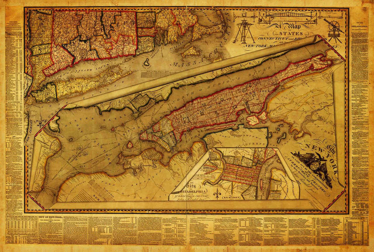

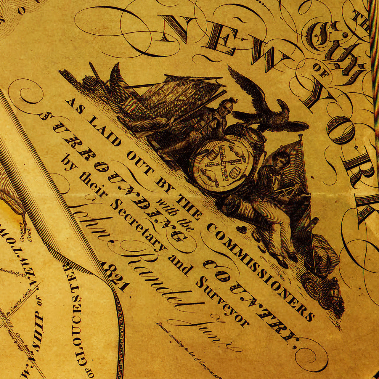
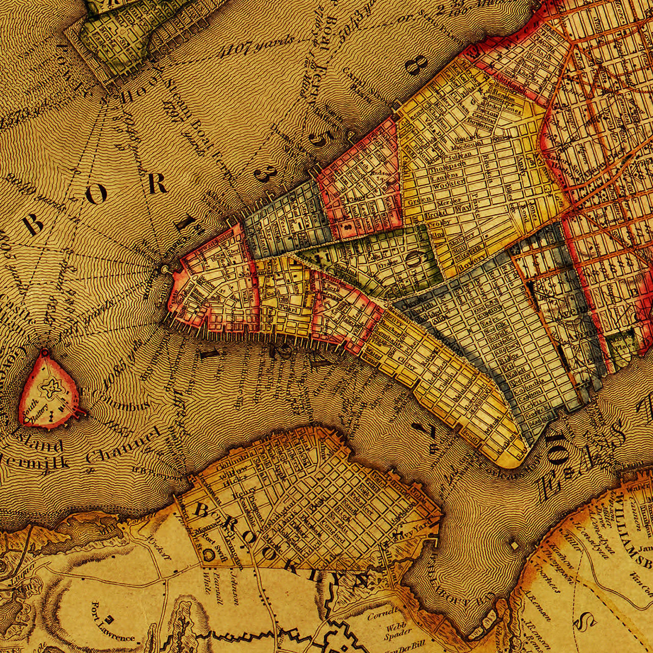

An early 19th-century map of New York — includes a street plan of Manhattan, as well as parts of surrounding counties, New York State, Connecticut, Massachusetts, Cape Cod, Martha’s Vineyard, Rhode Island, Long Island, New Jersey, Pennsylvania, and a full city plan of Philadelphia. The map also includes illustrations of surveying equipment from late 18th – early 19th c., used by the author John Randel, as well as various charts, legends, and municipal data from Philadelphia and New York. Randel was the original inventor of the New York City grid, first seen in the Commissioners’ Plan of 1811, and still in use today. (Frame shown is not included.)
• Antique map of New York and Philadelphia from 1821 by John Randel
• Fine Art Premium Giclée (Gouttelette) Print (100% cotton 340 gsm fine art paper)
• Made in USA