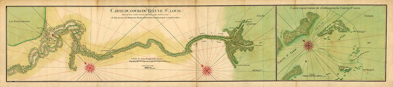
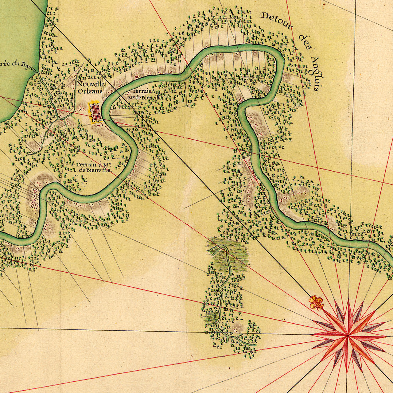
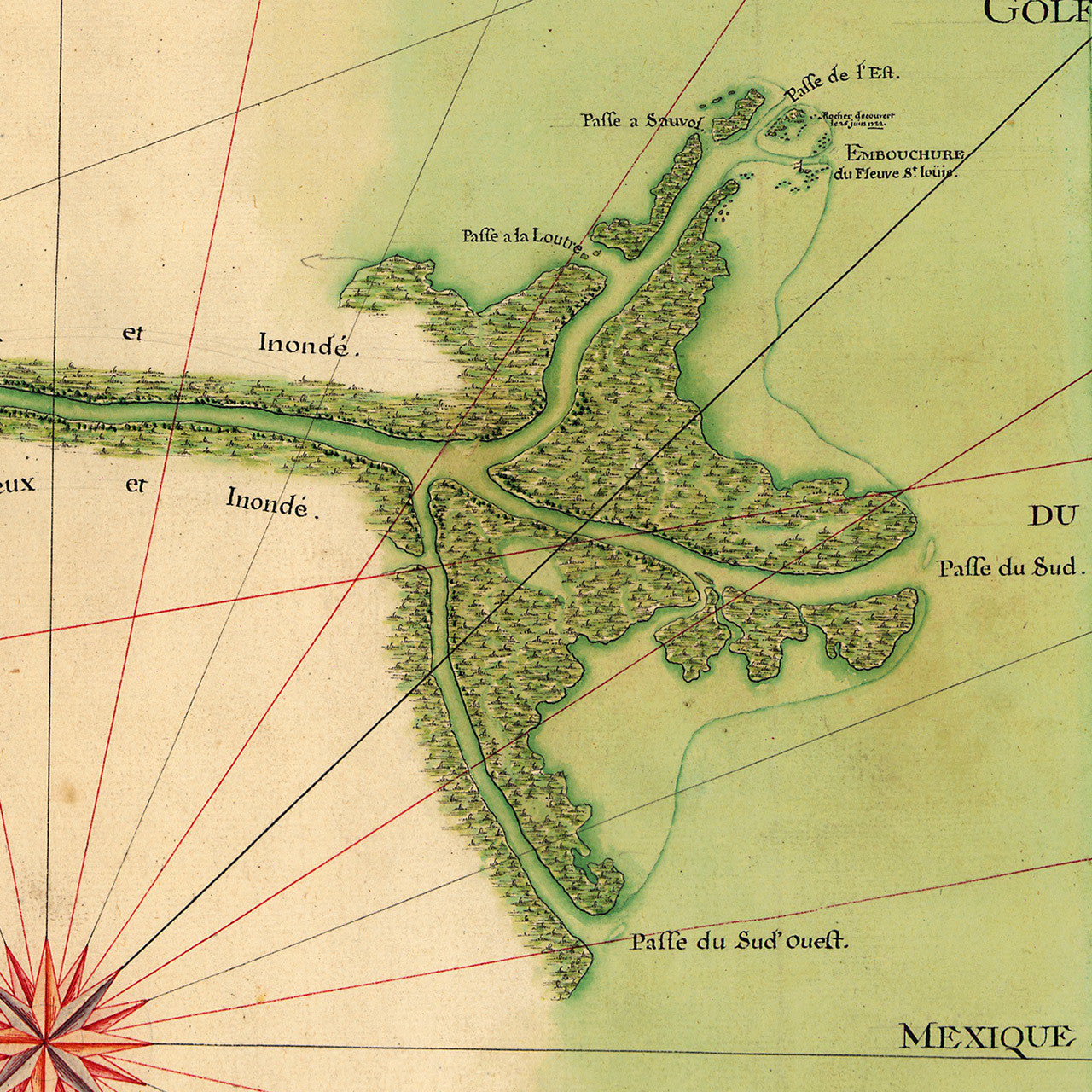
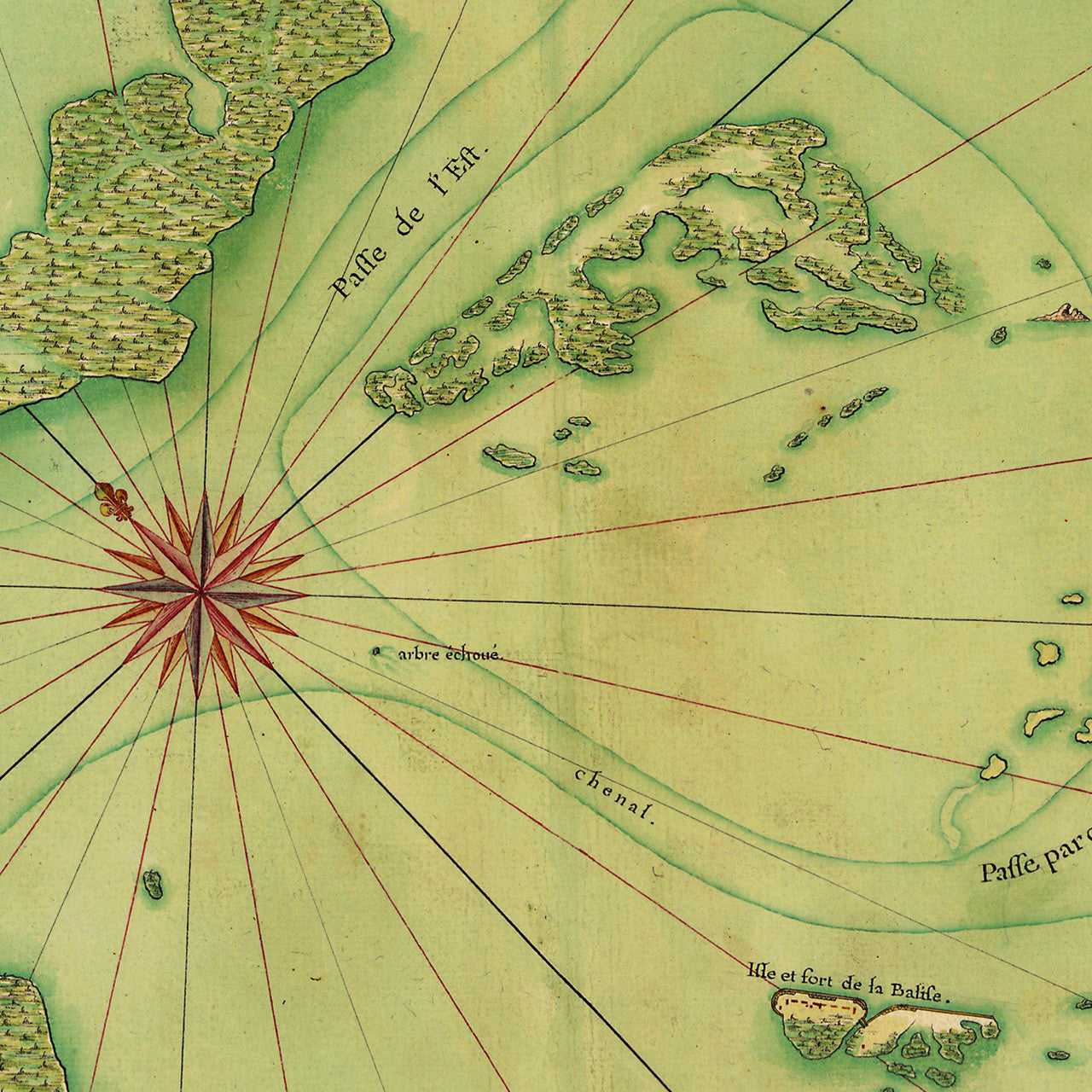

An early-eighteenth-century French manuscript map of the Mississippi River Delta, spreading from New Orleans on Lake Poncartrain to the river mouth at the Gulf of Mexico. The map was masterfully drawn in watercolor and ink, with several different ink pigments. This unique and graphically exquisite map was created around 1732, and is attributed to Jean-Baptiste Bourguignon d’Anville, possibly to illustrate Charlevoix’s 1722 expedition around Florida, Louisiana, and the Gulf of Mexico, in search of a passage to the Pacific.
• Old French manuscript map of the Mississippi River Delta, ca. 1732, with New Orleans and Lake Pontchartrain
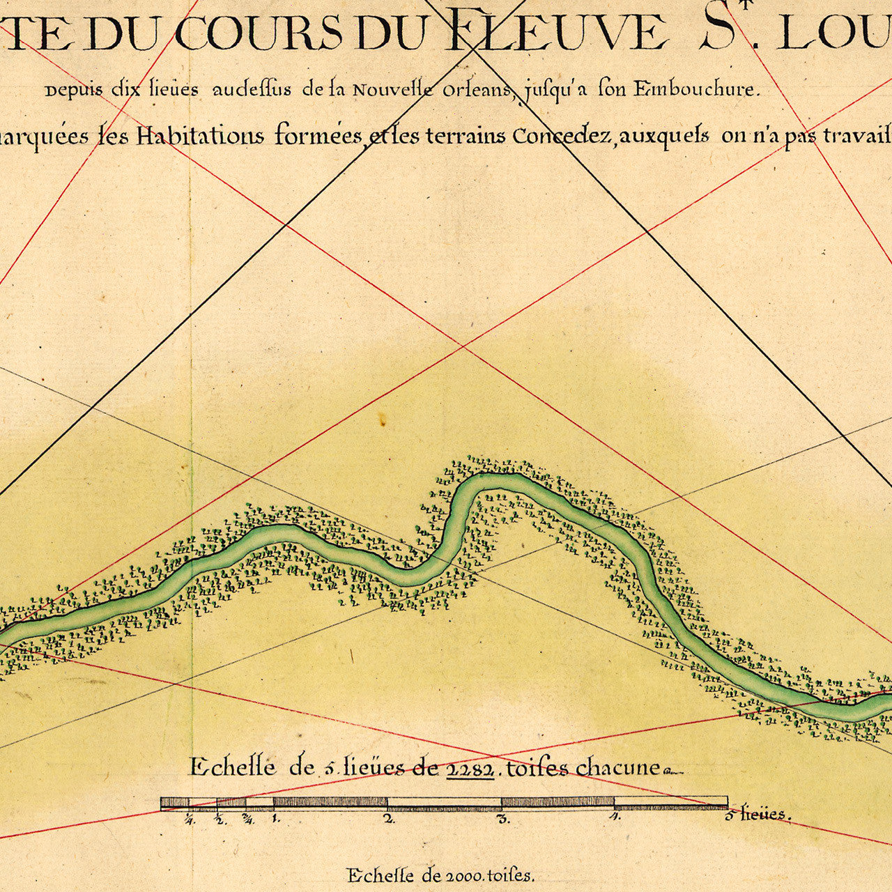
• Title: Carte du cours du fleuve St. Louis depuis dix lieues au dessus de la Nouvelle Orleans…
• Fine Art Premium Giclée (Gouttelette) Print (100% cotton 340 gsm watercolor textured fine art paper)
• Made in USA