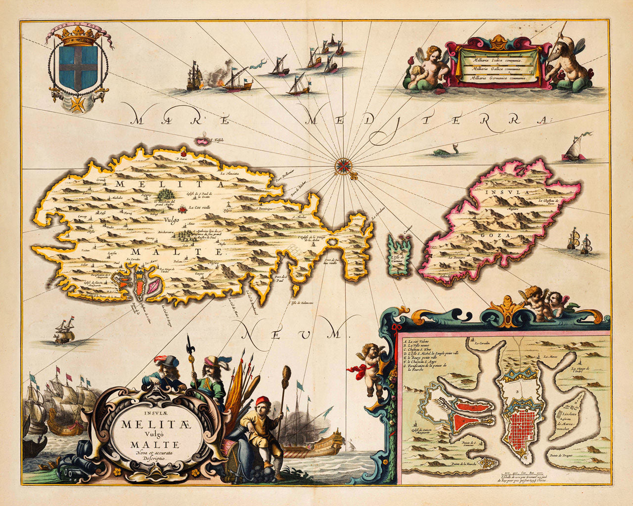
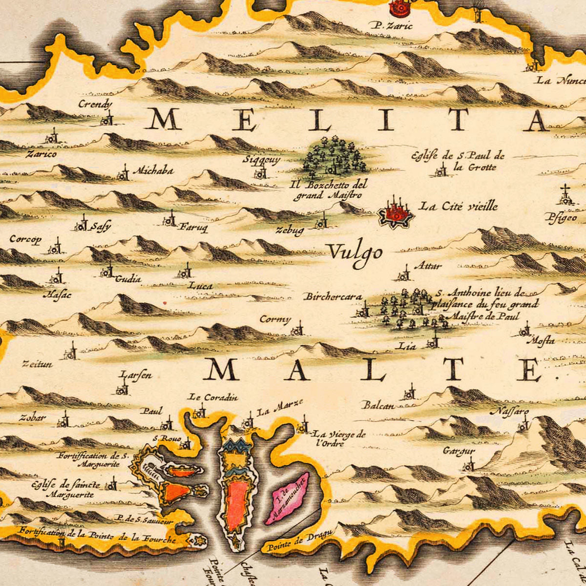
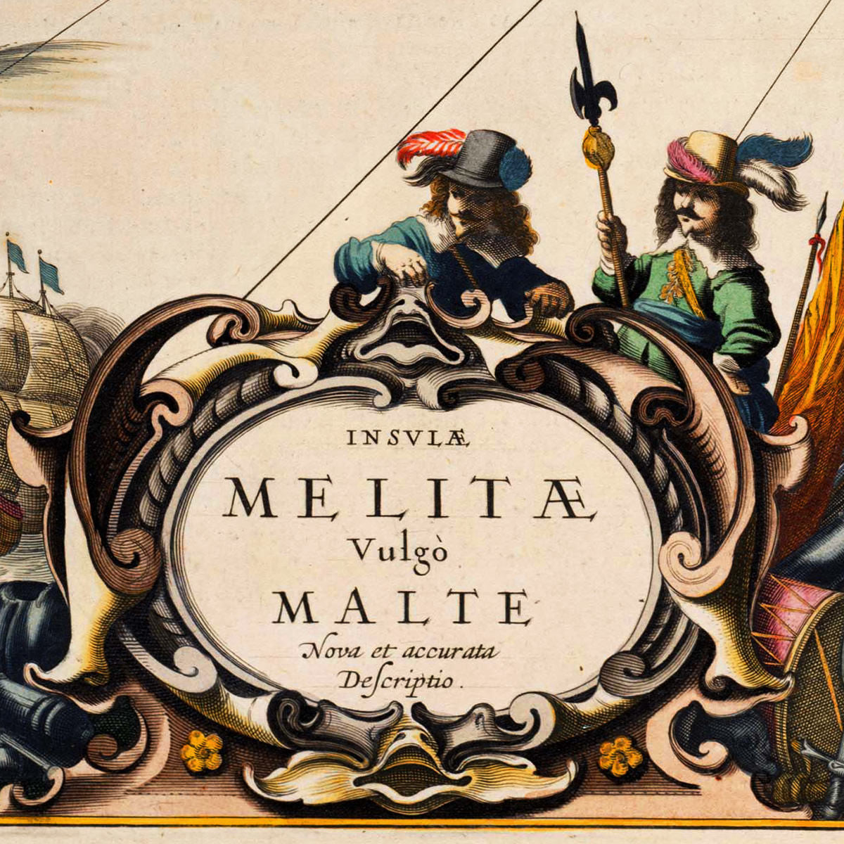
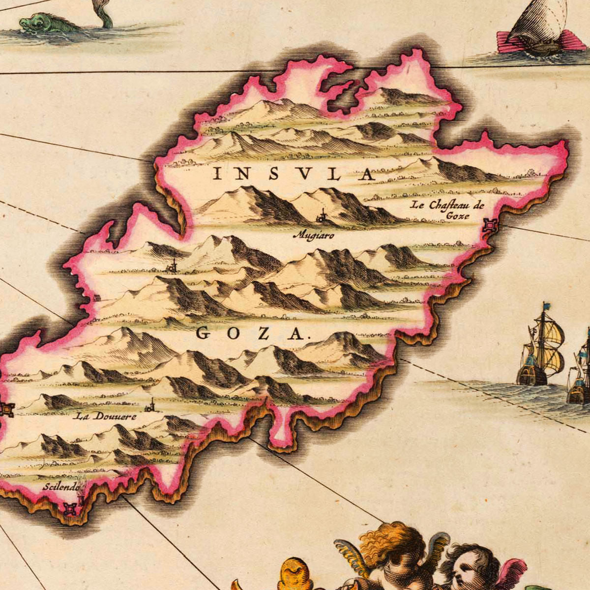

A seventeenth-century map of Malta, showing the islands of Malta, Gozo and Camino. The map features elaborate cartouches, vignettes with naval battles and sea monsters, and an inset plan of Valletta’s Grand Harbour. The top left corner is occupied by a coat of arms, with symbols of the Order of Saint John: a “Pour La Foy” motto is flying at the top, with a duke’s coronet over a shield; a pendant with a golden Maltese cross forms a circle around the shield; two hands coming out of a cloud are holding swords flanking the shield with the white latin cross of SMOM. Insulae Melitae was first published in 1650 in Johannes Janssonius’ Novus Atlas Absolutissimus.
• Old map of Malta, Insulae Melitae Vulgo Malte Nova et Accurata Descriptio, 1650, Janssonius
• Fine Art Premium Giclée (Gouttelette) Print (100% cotton 340 gsm fine art paper)
• Made in USA