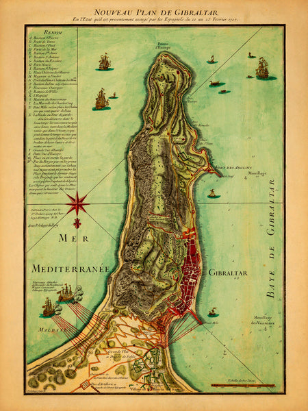
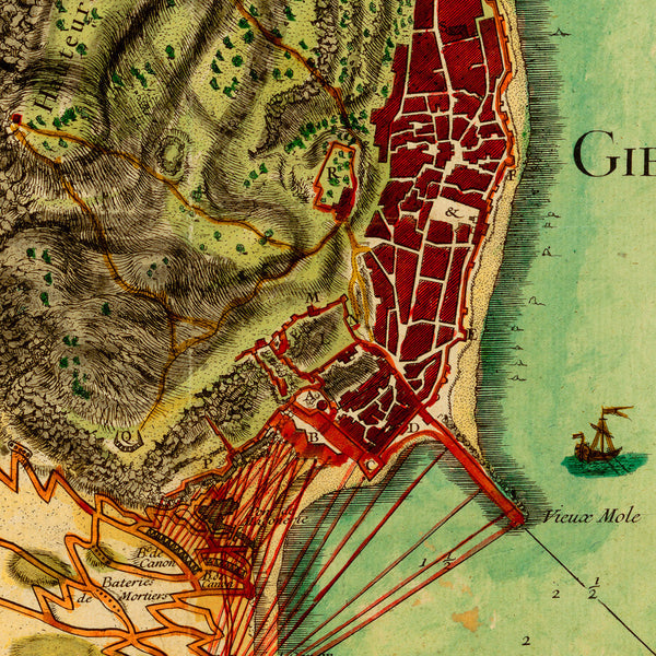
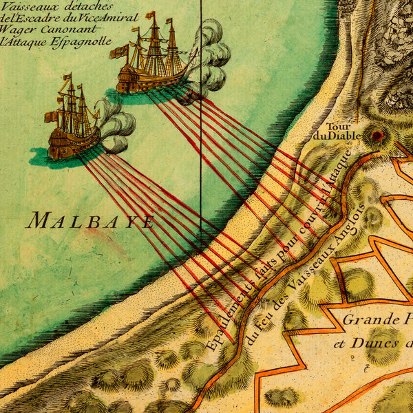
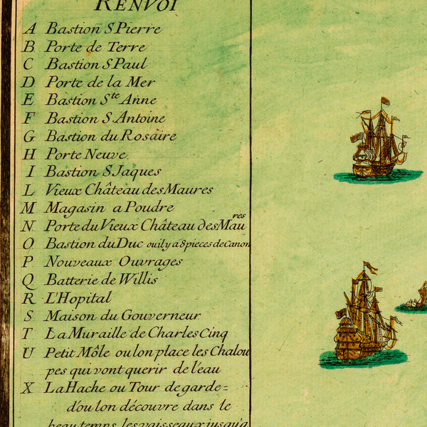
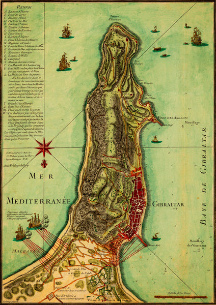
A plan of Gibraltar from early eighteenth century, depicting the Siege of Gibraltar by the Spanish during the Anglo-Spanish War of 1727–1729, (also known as the Thirteenth Siege of Gibraltar). The plan shows British naval bombardments on each side of the the peninsula, aimed at Spanish land positions. It also contains a map key (“Renvoi”) with detailed descriptions of all locations and depth soundings of the bay. The map, oriented with south at the top, was created by Jean-Baptiste Delahaye. Map title: Nouveau Plan de Gibraltar : En l'Etat qu'il est presentement assiegé par les Espagnols du 22 au 23 Fevrier 1727.
• Plan of Gibraltar, 1727, Spanish Siege of Gibraltar, British Navy, Anglo-Spanish War
• Fine Art Premium Giclée (Gouttelette) Print (100% cotton 340 gsm fine art paper)
• Made in USA

