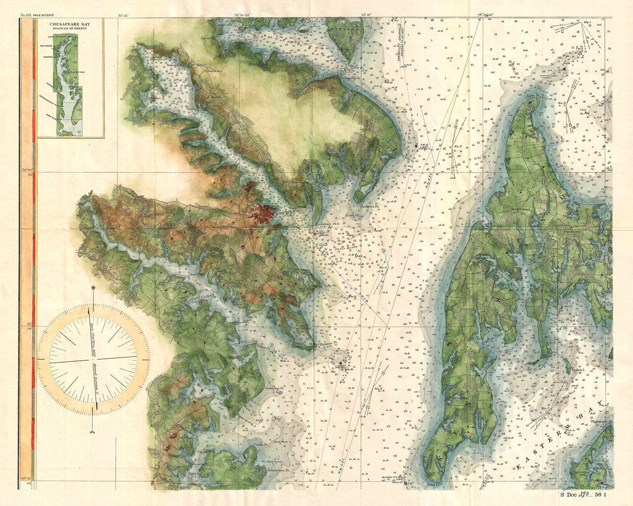
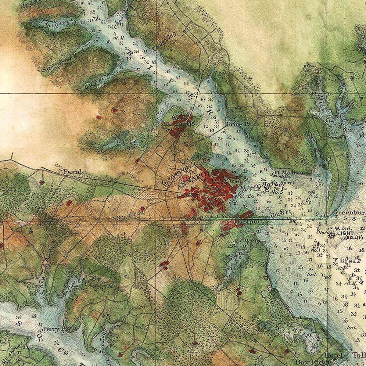
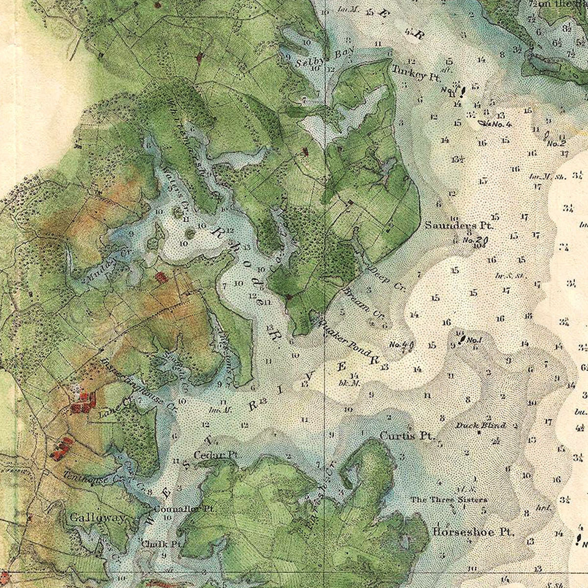
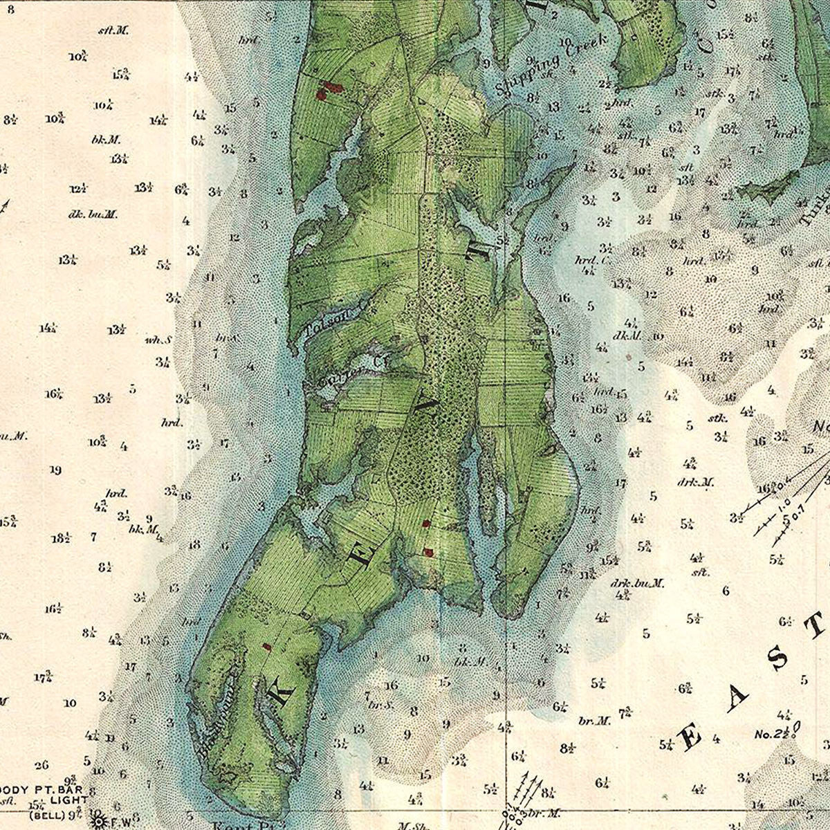
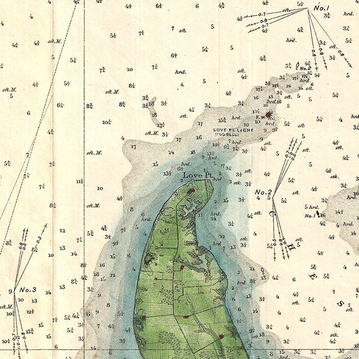

A highly detailed, 19th-century chart of the Chesapeake Bay around Annapolis, by the U.S. Coast Survey. The chart was surveyed in the 1850s and published in 1895. It covers an area from the Magothy River and Gibson Island (Gibson’s Island) in the north, to West River and Cedar Point in the south. It includes Eastern Bay, Kent Island and Chester River on the eastern side. The chart offers a remarkable amount of detail of the topography of the coastline, as well as a profusion of soundings in the water. The map features the city of Annapolis, Maryland — home of the U.S. Naval Academy, and a slew of recreational marinas. Annapolis was also the capital of the United States in 1783–1784, following the signing of the Treaty of Paris.
• 19th-century U.S. Coast Survey chart of the Chesapeake Bay, of the area around Annapolis, MD
• Fine Art Premium Giclée (Gouttelette) Print (100% cotton 340 gsm fine art paper)
• Made in USA