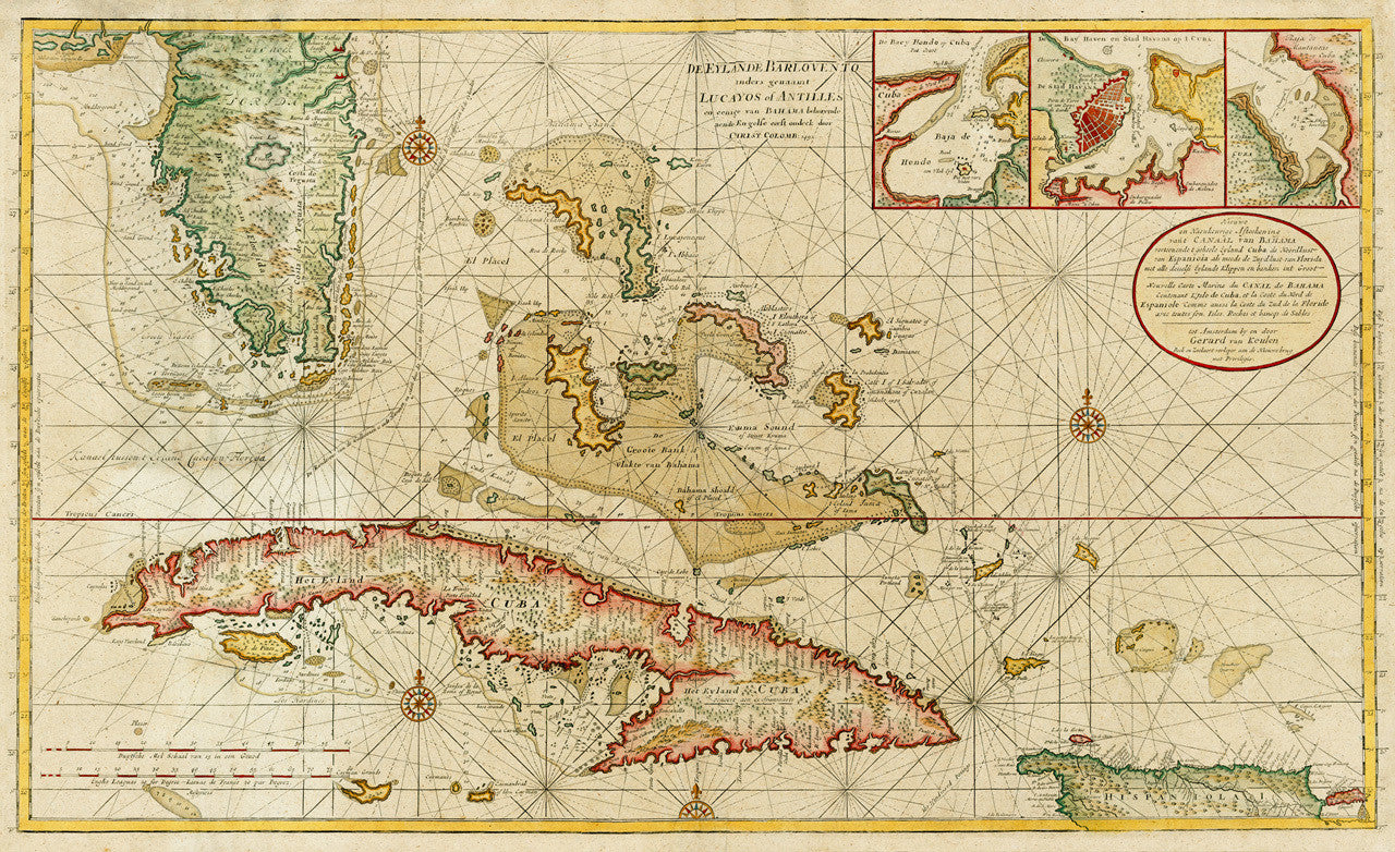
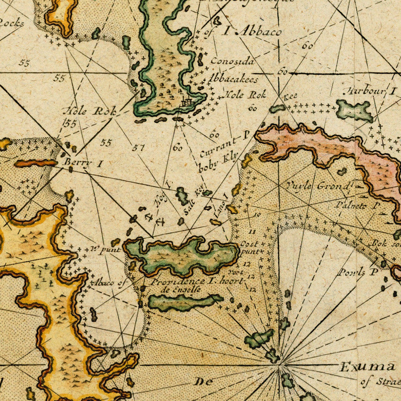
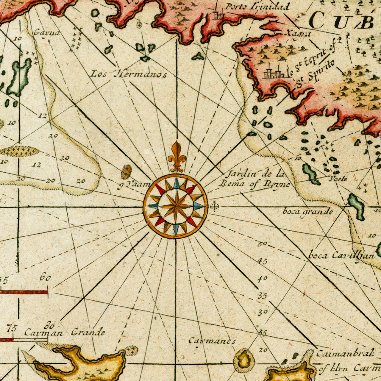
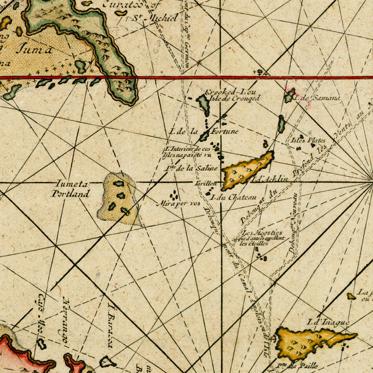
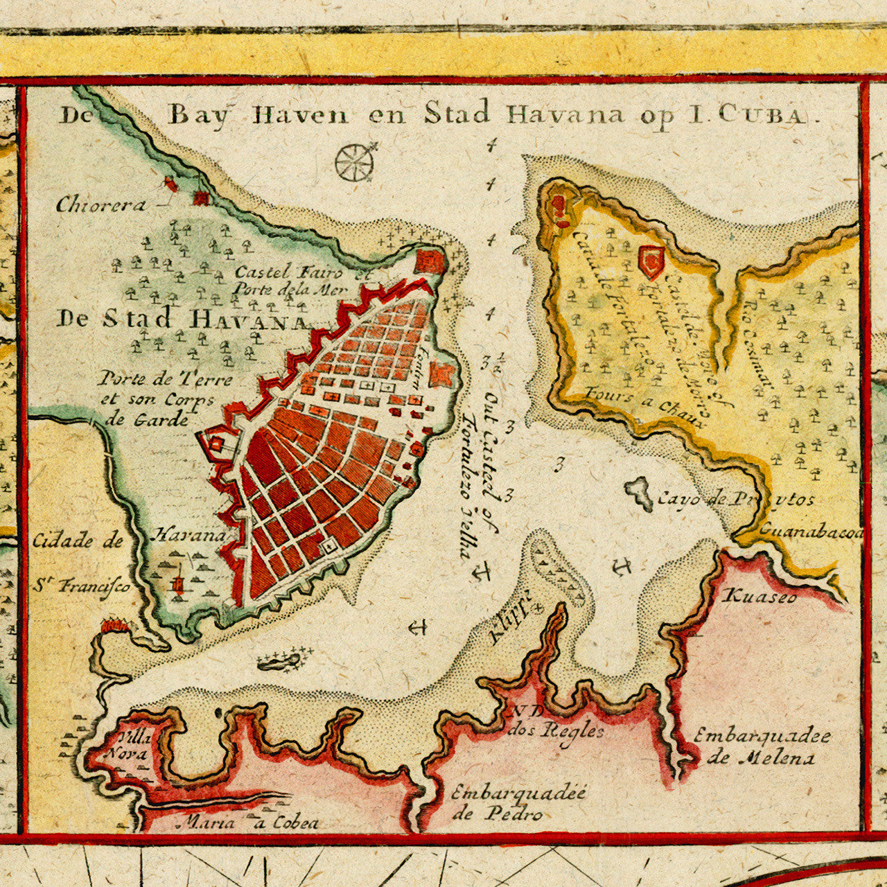

An early 18th-century detailed sea chart of Southern Florida, Cuba, the Bahamas, Cayman Islands, Turks and Caicos, and part of Hispaniola. Cuba, being the focal point of the chart, is represented with inset plans of three strategic ports — Havana, Baja de Hondo (Hondo, today’s Bahía Honda, Artemisa Province), and Baja de Matancas (Matanzas). Map title in the oval cartouche reads: Nieuwe en Naeukeurige Afteekening vant Canaal van Bahama vertoonde 't geheele Eyland Cuba de Noordkust van Espaniola als mede de Zuydkust van Florida…; Title next to insets reads: De Eylande Barlovento anders genaamt Lucayos of Antilles en eenige van Bahama behorende aende Engelse eerst ondeck door Christ. Colomb: 1492.; Gerard van Keulen created the chart ca. 1722, the present copy being from the 1728 edition of the map. (The chart pairs well with another Caribbean favorite from the same time period — van Keulen’s map of Hispaniola.)
• 1720s chart of Cuba, Florida, Bahamas, Cayman Islands, ports, navigational routes, Gerard van Keulen
• Fine Art Premium Giclée (Gouttelette) Print (100% cotton 340 gsm fine art paper)
• Made in USA