
The Most Important Map of Bermuda from the 1700s
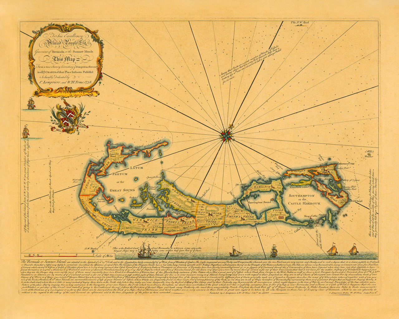
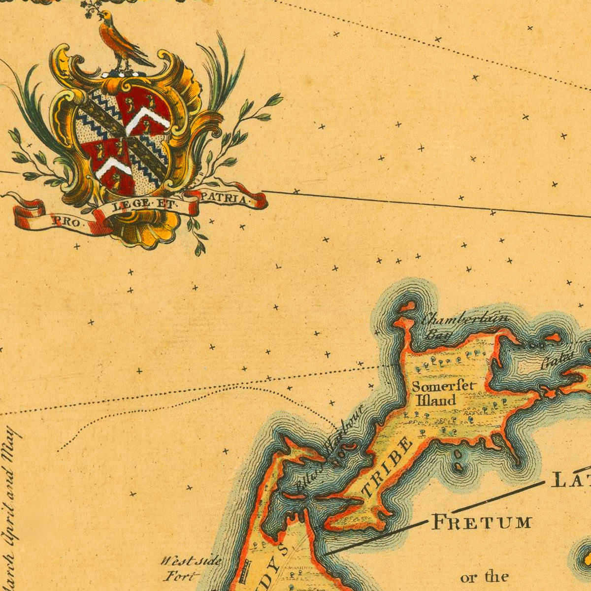
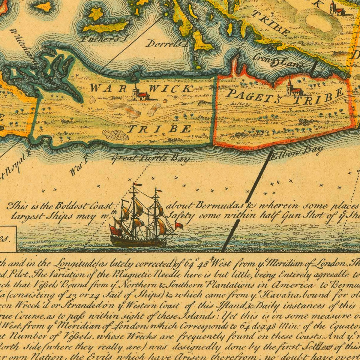
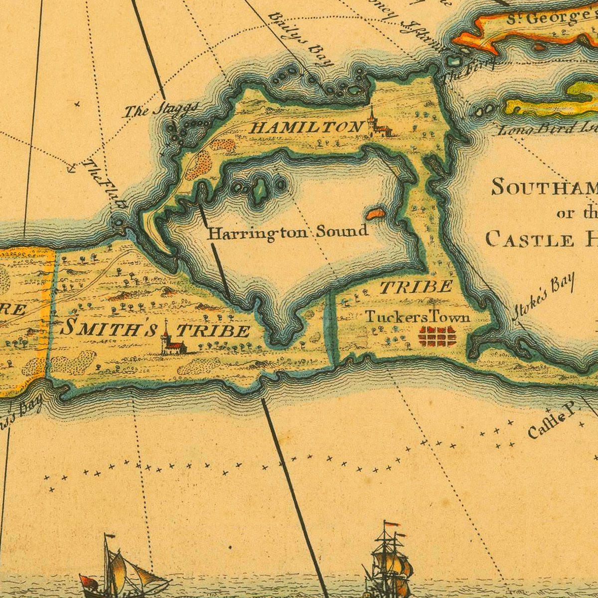
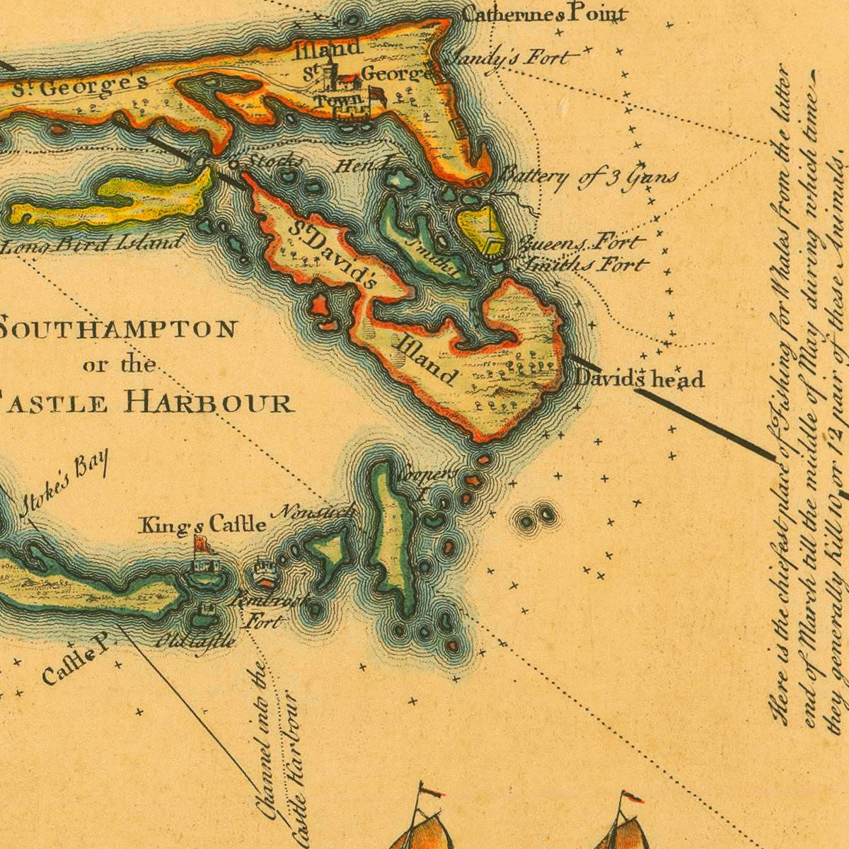
Lempriere’s 1738 chart of Bermuda is widely regarded as the most influential map of the island produced in the eighteenth century. It represents the first major update in mapping the Somers Isles since Richard Norwood’s 1616 and 1662 surveys. Aside from amendments and corrections, this attractive and highly informative map contains a wealth of knowledge about Bermuda: a general essay (at the bottom of the layout), navigational information, fishing seasons and places, and even spots marking sunken treasure ships. Clement Lempriere, who is also responsible for the design of Henry Popple’s famous 1733 map of North America, probably surveyed and drew the Bermuda chart around 1722-23. William Henry Toms masterfully engraved it fifteen years later, around 1738. The title cartouche holds a dedication to Alured Popple Esq., Governor of Bermuda (1738–1744). Map title: To his Excellency Alured Popple Esq. Governour of Bermuda, or the Summer Islands This Map From a new Survey, Correcting ye Dangerous Errors in all ye Charts of that Place hitherto Publish’d Is humbly Dedicated by C. Lempriere, and W. H. Toms, 1738.
• 1738 detailed map of Bermuda and surrounding waters, C. Lempriere & W. H. Toms
• Fine Art Premium Giclée (Gouttelette) Print (100% cotton 340 gsm fine art paper)
• Made in USA