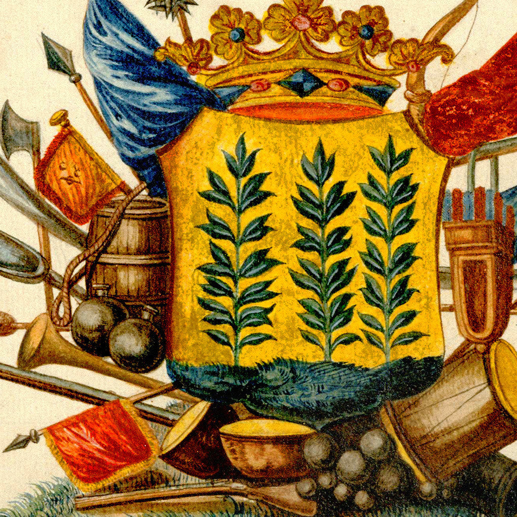
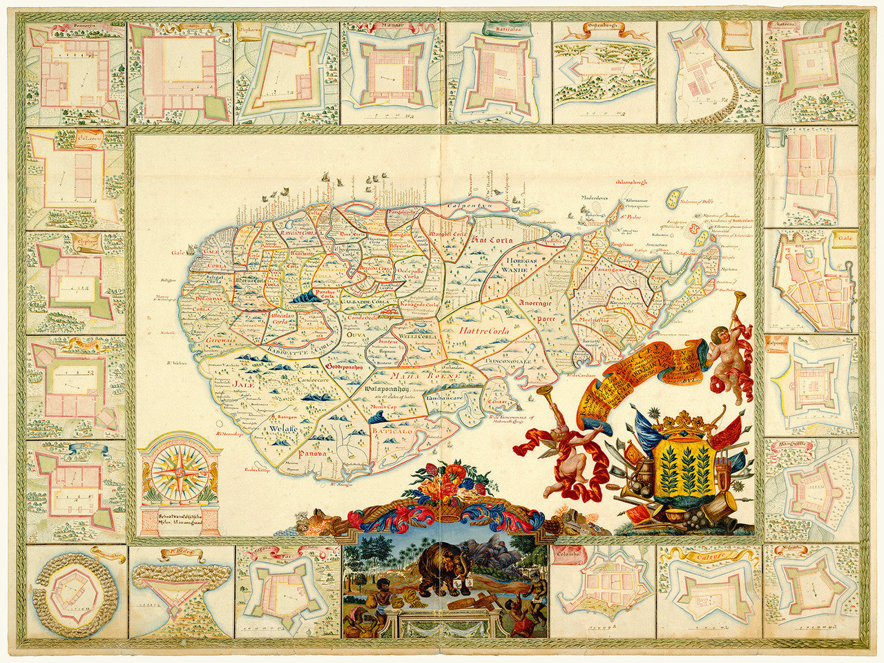
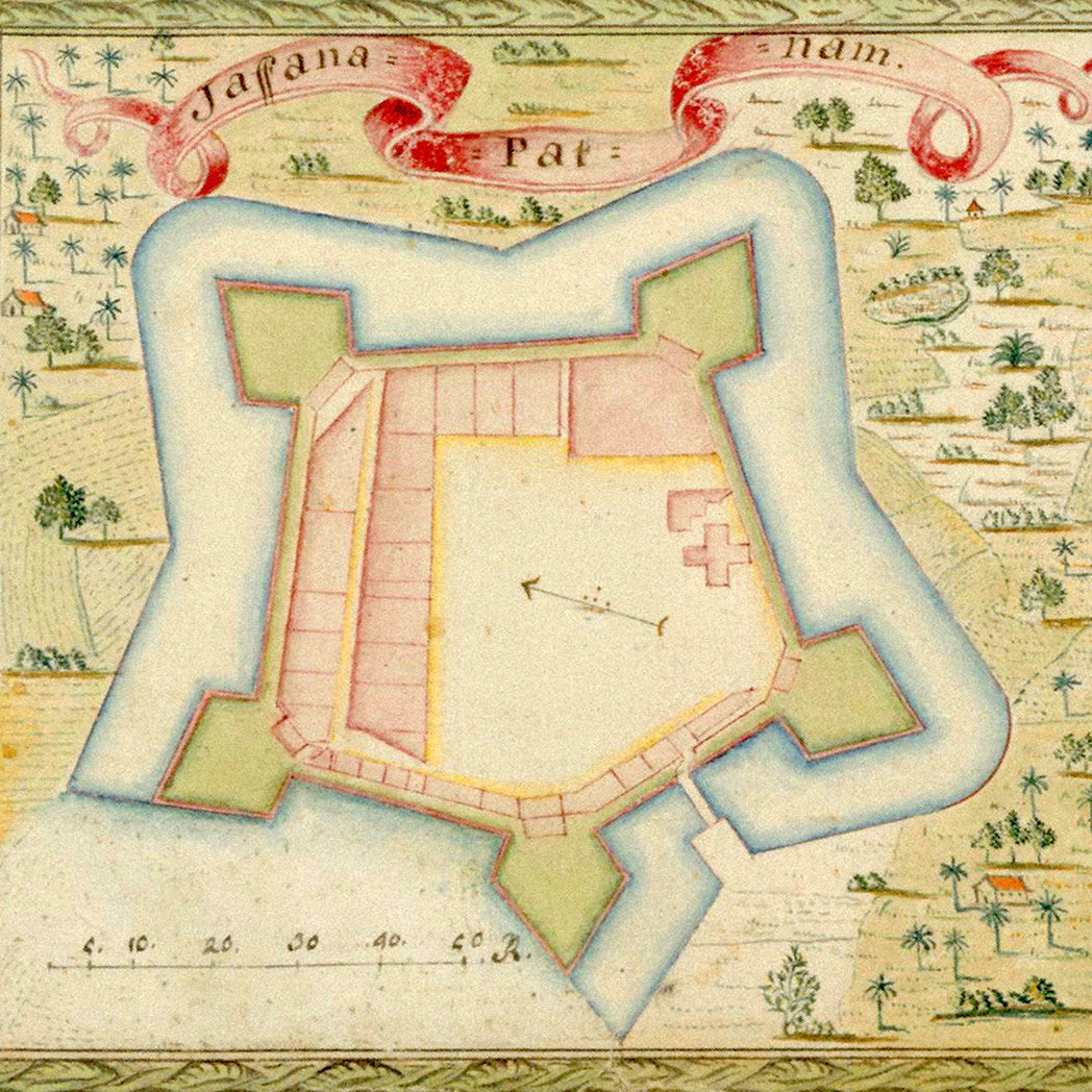
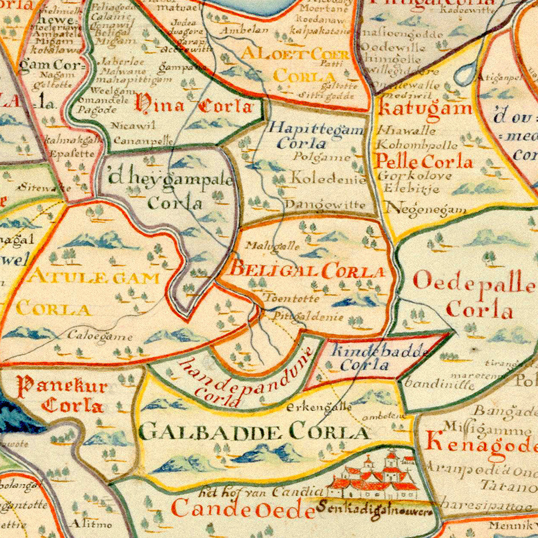
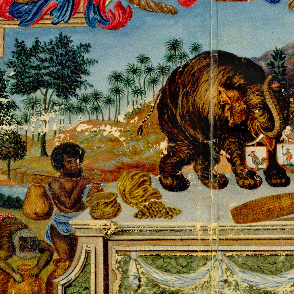

Decorative 18th-century map of Ceylon (Sri Lanka) made for the Dutch East India Company (VOC) in 1751, during the period of Dutch rule on the island. The map was originally prepared by Baltus van Lier and presented to Ger(r)ard Joan Vreeland, the 28th Governor of Ceylon, at his appointment. The hand drawn map is beautifully adorned with cartouches, illustrations, and all around the periphery — insets of fortifications of settlements on the island.
• 1751 map of Sri Lanka (Ceylon/Zeylan) with plans of Dutch forts, title: Kaartje van het eyland Ceylon…
• Fine Art Premium Giclée (Gouttelette) Print (100% cotton 340 gsm watercolor textured fine art paper)
• Made in USA