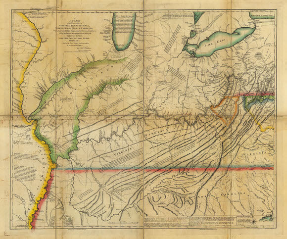
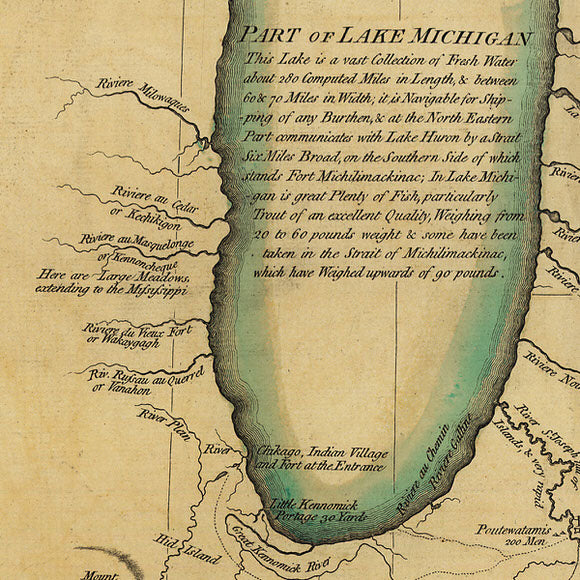
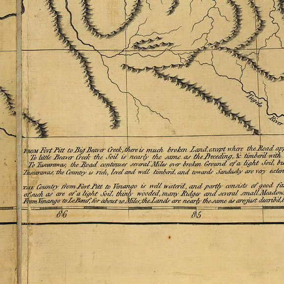
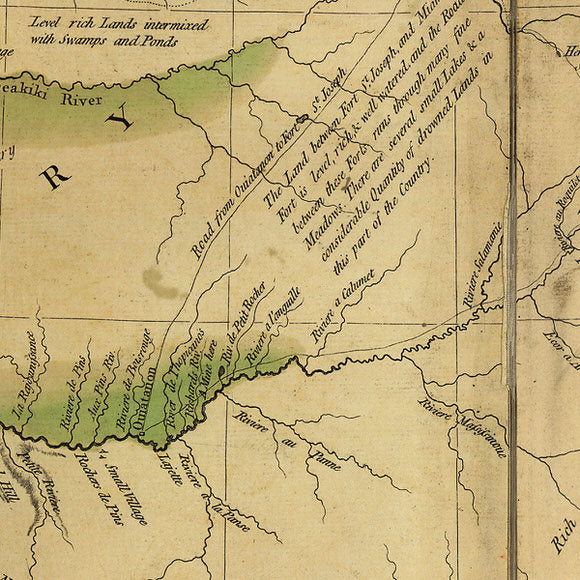
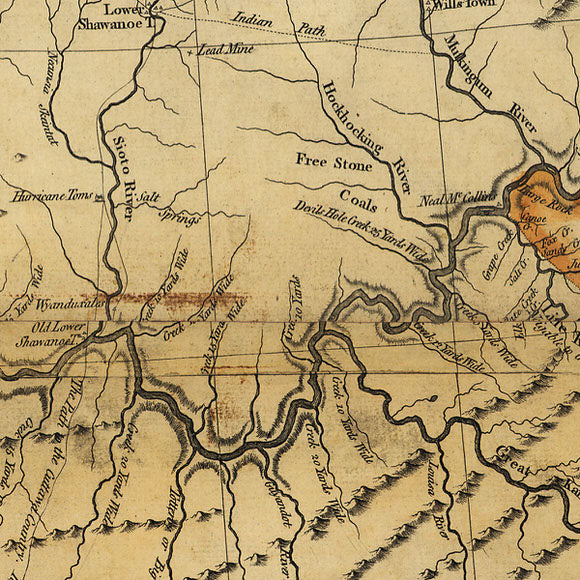
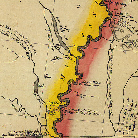

Thomas Hutchins produced this beautiful map of the land west of the Alleghenies in 1778 as a supplement to his book titled "A Topographical Description of Virginia, Pennsylvania, Maryland, and North Carolina”. The map, based on personal observations, depicts rivers, creeks, waterfalls, portages, springs, mountain passes, and mineral deposits of what is now the Midwest of the United States. The map provides details such as colonial towns, forts, and roads, along with native American towns, paths, and trails. Hutchins also provides illuminating text and notes to help the reader to visualize the terrain and better understand the country beyond the mountains.
It is considered by experts to be one of the most important American maps of the 18th Century. This print is made from the map once owned by Jean-Baptiste-Donatien de Vimeur, comte de Rochambeau (1725-1807), commander in chief of the French expeditionary army (1780-82) during the American Revolution. The original is now residing in the Rochambeau Collection at the Library of Congress.
- Title: A new map of the western parts of Virginia, Pennsylvania, Maryland, and North Carolina; comprehending the River Ohio, and all the rivers, which fall into it; part of the River Mississippi, the whole of the Illinois River, Lake Erie; part of the Lakes Huron, Michigan &c. and all the country bordering on these lakes and rivers
- Fine Art Premium Giclée (Gouttelette) Print (100% cotton 340 gsm fine art paper)
- Made in USA