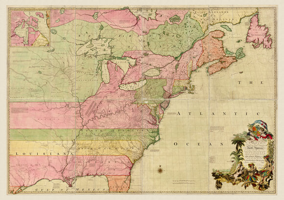
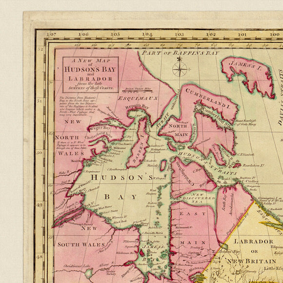
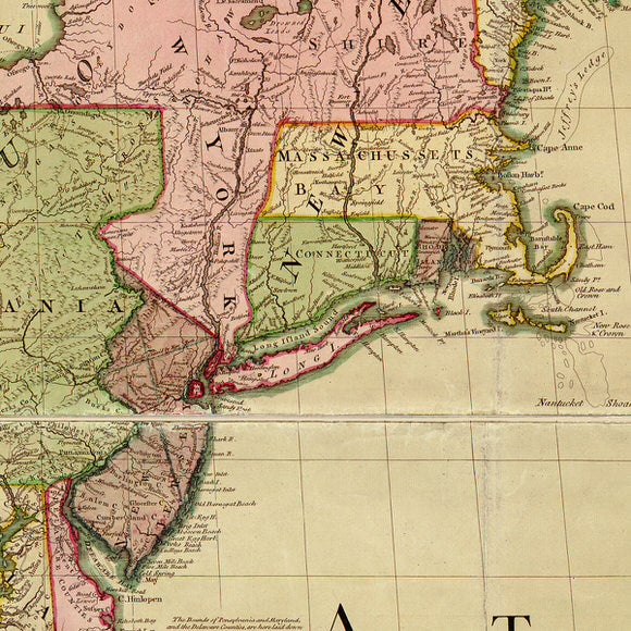

John Mitchell’s 1755 map of North America showing British claims from the Atlantic Ocean to the Mississippi River. The map was used in the negotiations of the 1783 Treaty of Paris to establish the boundaries of the United States and influenced the Abel Buell’s 1784 map of United States.
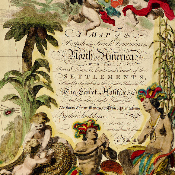
• Print of an Antique map of North America, 1755, John Mitchell• Title: A map of the British and French dominions in North America, with the roads, distances, limits, and extent of the settlements, humbly inscribed to the Right Honourable the Earl of Halifax, and the other Right Honourable the Lords Commissioners for Trade & Plantations,
• Fine Art Premium Giclée (Gouttelette) Print (100% cotton 340 gsm fine art paper)
• Made in USA